
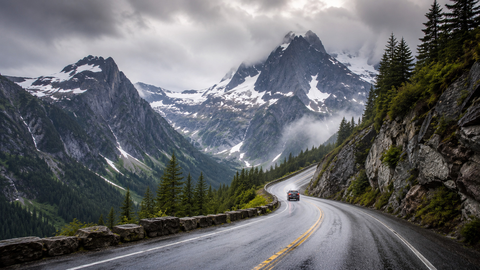
The Pacific Northwest is packed with road trips that look almost too easy on a map. A ribbon of highway through the mountains, a couple of lake stops, maybe a night on the coast, and you figure you can grab gas or check directions whenever you need to. That works right up until the road is closed, the phone loses service, or the weather changes 30 miles from the nearest town.
Several of the region’s best drives are seasonal, remote, or both. Washington closes the North Cascades Highway and the Chinook and Cayuse passes when winter snow and avalanche danger make travel unsafe, while Mount Rainier requires every vehicle to carry tire chains from Nov. 1 through May 1. Oregon warns that many of its scenic byways cross remote country where gas stations can be few and road conditions can turn hazardous, particularly at higher elevations. Along Highway 101, ODOT specifically warns about landslide risk, while the state tells coastal visitors to know their tsunami evacuation zone before they arrive. None of that means you should skip these drives. It means fill the tank, check the road, download the map, and know what you are getting into before the pavement disappears behind you.
North Cascades Highway, Washington
©"Looking east, up the North Cascades Highway" by nordique is licensed under BY 2.0. - Original / License
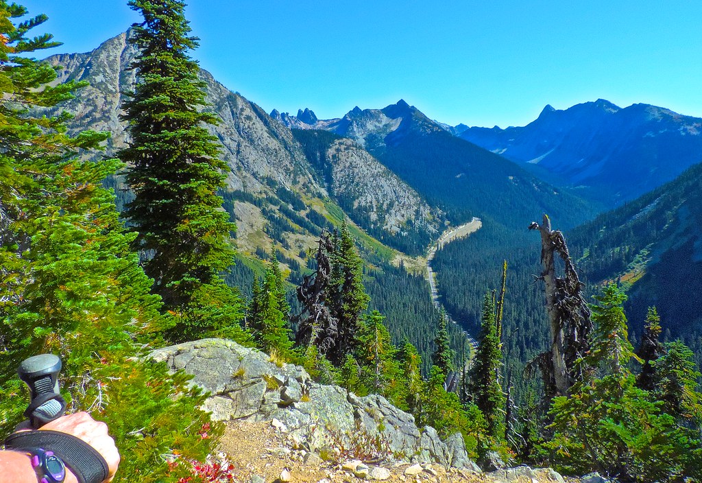
State Route 20 through the North Cascades is one of those drives that looks easy on a map until weather gets involved. WSDOT closes the high-elevation section each winter because avalanche risk makes it unsafe, and the 2025-26 season also brought washouts and a rockslide that delayed the full 2026 reopening until June. That is enough reason to check with WSDOT the morning you leave instead of assuming an old route plan is still good. I would start with a full tank, food, water, warm layers, and offline directions because a closure can turn a simple crossing into a long reroute. This is a spectacular road trip, but it is absolutely not one I would try to improvise in shoulder season.
Olympic Peninsula Loop, Washington
©Google Maps
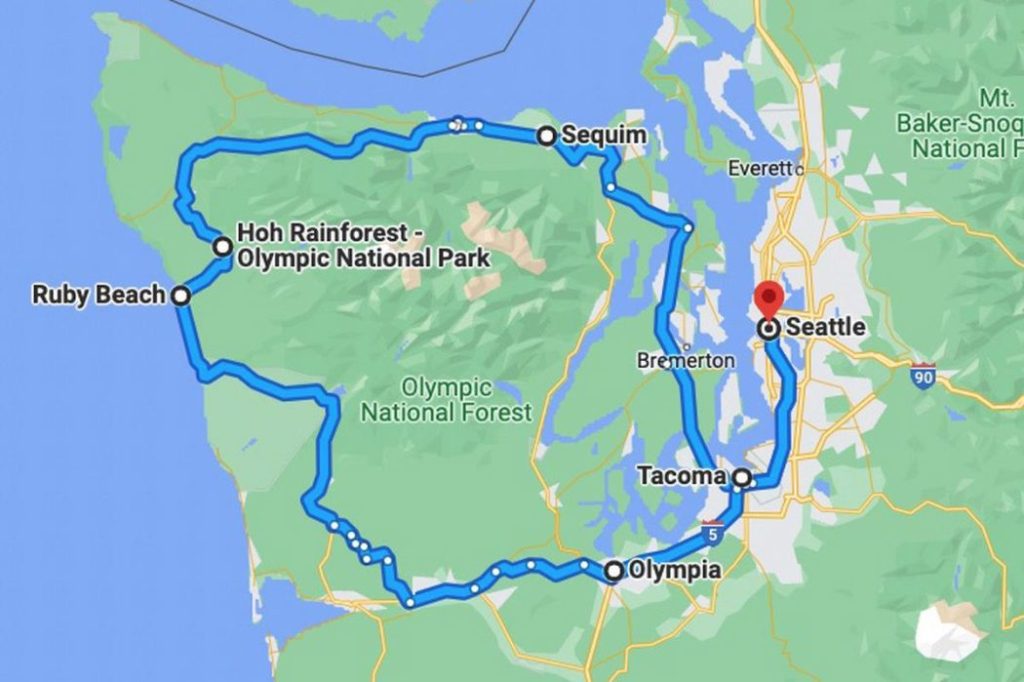
US 101 keeps this trip looking straightforward, but the best stops require side roads into Olympic National Park, and that is where planning matters. The National Park Service says cell service is spotty throughout much of the park, while several roads are narrow, gravel, winding, or unsuitable for RVs and trailers. Roads can also close for washouts, fires, storms, or construction, so the attraction you planned around may not be reachable when you arrive. Download maps, check each park road before leaving Port Angeles or Forks, and keep extra fuel, food, and water in the car. The Peninsula rewards detours, but it punishes anyone who assumes the phone will solve every problem.
Mount Rainier via Chinook and Cayuse Passes, Washington

©"Mount Rainier, Washington State" by Harold Litwiler, Poppy is licensed under BY-ND 2.0. - Original / License
Mount Rainier is not the place to treat a mountain road like a normal Sunday drive. WSDOT closes Chinook Pass and Cayuse Pass each winter because of snow and avalanche danger, and inside the park, every vehicle must carry tire chains from Nov. 1 through May 1, including AWD and 4WD vehicles. The National Park Service also warns that GPS can send drivers toward closed gates and cost hours of rerouting. Check both WSDOT and the park before you leave, carry chains when required, and bring water, food, and a paper or offline map. The scenery is huge, but so are the consequences of showing up with the wrong tires or the wrong route.
Oregon Coast Highway 101
©"Oregon Coast: X" by basheertome is licensed under BY 2.0. - Original / License
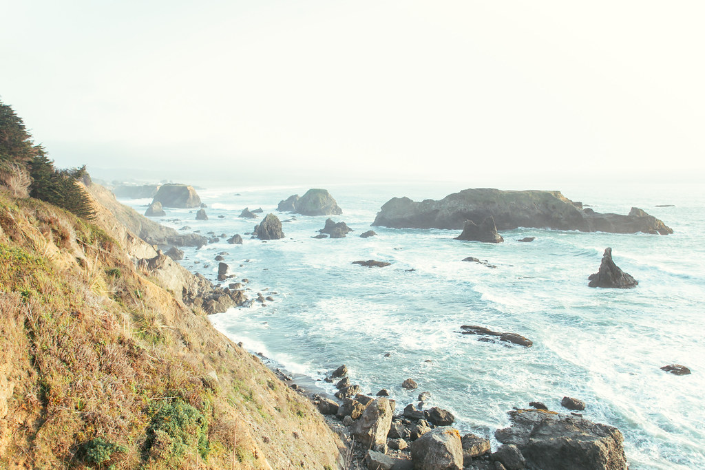
Highway 101 is beautiful enough to make you forget that the Oregon coast comes with real geologic hazards. ODOT specifically lists US 101 among the highways prone to landslides, with heavy winter rain as one of the biggest triggers for slides and rockfall. Oregon also tells coastal visitors to learn their tsunami evacuation zone and route before a trip, because a strong local earthquake can require moving inland or to high ground immediately. I would check TripCheck before each long leg, keep an emergency kit in the car, and know the evacuation route around your hotel or beach stop instead of waiting until something happens. This road is easy to love, but the ocean and cliffs do not care how good the forecast looked when you left Portland.
Cascade Lakes Scenic Byway, Oregon
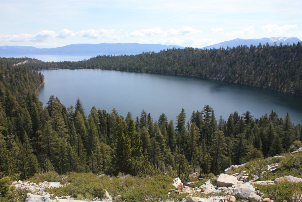
©"Cascade Lake, Cascade Falls 2014" by ray_explores is licensed under BY 2.0. - Original / License
The 66-mile Cascade Lakes Scenic Byway outside Bend is one of the easiest Pacific Northwest drives to underestimate because it feels so close to town. The high-elevation section of Cascade Lakes Highway closes for winter, and Deschutes County normally aims to reopen it around Memorial Day, weather permitting. Oregon’s own scenic byway guidance also warns that many routes like this run through remote country where gas stations can be few and road conditions can change fast at elevation. Fill up in Bend, bring more water than you think you need, and check the county road page or TripCheck before committing to the full route. If the gate is closed or the weather turns, do not let your GPS convince you that a forest-road shortcut is the clever answer.
McKenzie Pass Scenic Highway, Oregon
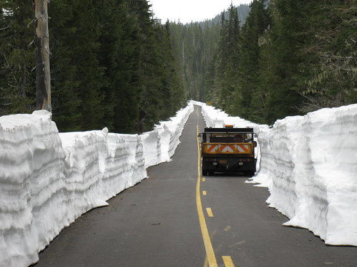
©"June 8, 2011 McKenzie Pass" by OregonDOT is licensed under BY 2.0. - Original / License
McKenzie Pass on OR 242 is gorgeous, narrow, and very intentionally seasonal. ODOT says the road closes from roughly November to mid-June, is not maintained while closed, and has no services or cell service beyond the gates. Even when it is open, vehicles longer than 35 feet are prohibited because the highway has tight curves and many sections with no shoulder. Check the gate status before leaving Sisters or McKenzie Bridge, and do not arrive in a long RV assuming you can squeeze through. This is exactly the kind of road where one ignored detail can wreck the entire day.
Hells Canyon Scenic Byway, Oregon
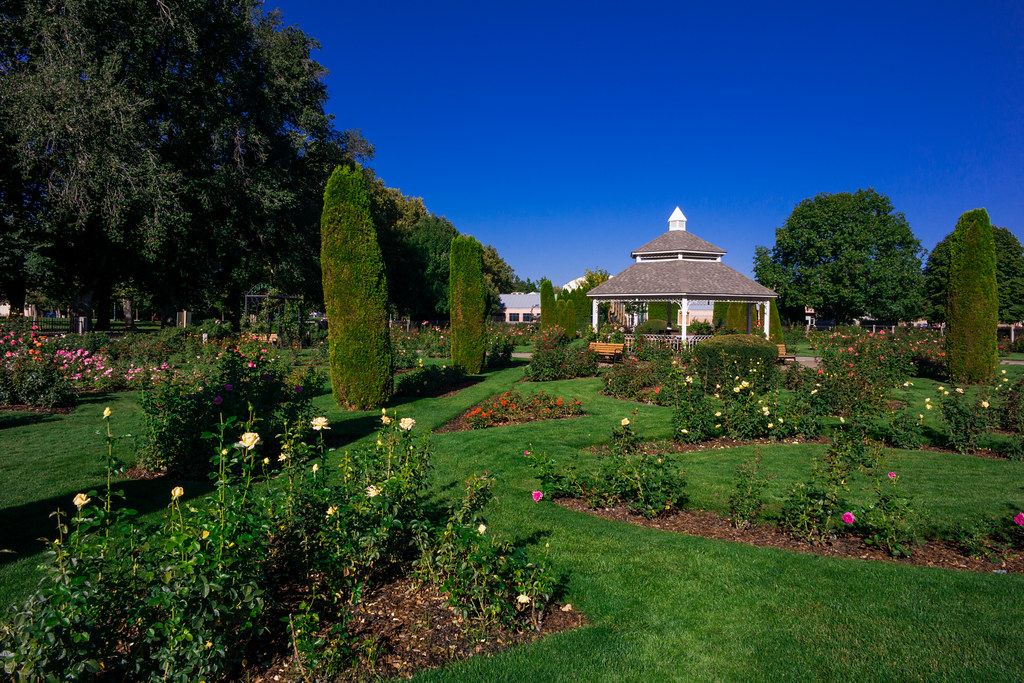
©"Hells Canyon Hunting & Fishing" by nan palmero is licensed under BY 2.0. - Original / License
The Hells Canyon Scenic Byway is not a quick scenic detour. TripCheck puts the loop at 218 miles around the Wallowa Mountains, and Oregon warns that many scenic byways pass through remote areas where fuel can be scarce. Parts of this route climb steep grades and use Forest Road 39, while facilities on the forest side can be seasonal and some recreation sites have no potable water. Start with a full tank, carry drinking water, download the route, and check both TripCheck and Wallowa-Whitman National Forest conditions before you disappear into the mountains. The payoff is enormous, but this is one of those drives where ‘we’ll find gas later’ is a bad plan.
Steens Mountain Loop Road, Oregon
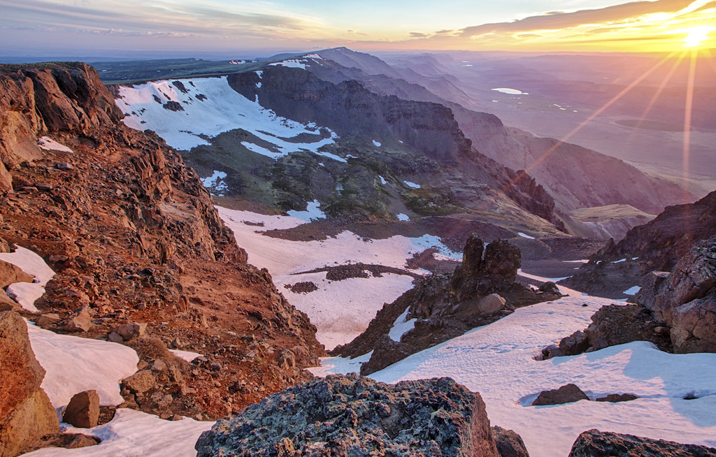
©"Steens Mountain CMPA" by BLM Oregon & Washington is licensed under BY 2.0. - Original / License
Steens Mountain Loop Road is the one on this list I would be most nervous about winging. The Bureau of Land Management says the road climbs from about 4,200 feet to 9,500 feet, is not fully open year-round, and the complete loop is typically accessible only from early July to mid-October. Cell service, fuel, and other services are limited, weather can swing from extreme heat to snow, and BLM recommends high-clearance or 4WD vehicles for the rougher sections near South Steens. Go in with a full tank, real food and water, high-quality tires, and a current map instead of relying on your phone. If you want a road trip that makes the Pacific Northwest feel genuinely remote, this is it, but preparation is part of the price of admission.

