
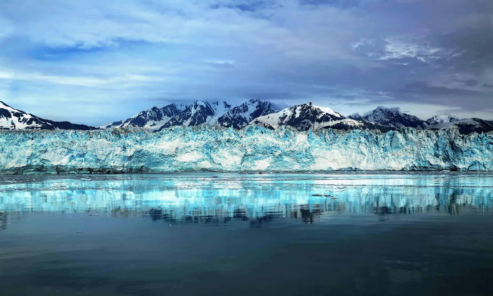
Glaciers have shaped the Pacific Northwest for millennia, carving valleys, feeding rivers and helping cold-water ecosystems through the dry summer months. The ice that remains is not frozen scenery. Glaciers move, fracture and respond to changes in snowfall and temperature, which makes them valuable indicators of a warming climate.
These 14 places range from roadside-area viewpoints to multiday wilderness objectives. “Viewable” does not mean safe to walk on: crevasses can be hidden, ice and rock can fall without warning, and many access roads and trails are seasonal. Check current land-manager alerts before leaving, and treat travel on a glacier as technical mountaineering that requires training, a capable team and rescue equipment.
Emmons Glacier (WA)
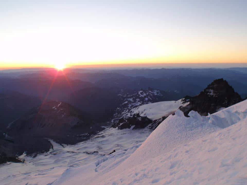
©"Sunrise on the Emmons Glacier" by Mount Rainier NPS is licensed under BY 2.0. - Original / License
Emmons Glacier spreads across the northeast side of Mount Rainier and has the greatest surface area of any glacier in the contiguous United States. Carbon Glacier, also on Rainier, contains more ice by volume. Emmons descends into the White River valley, and much of its lower surface is hidden beneath rock debris. The easiest look is from Emmons Vista, about 0.2 miles from the Sunrise Visitor Center when the seasonal Sunrise Road is open. Longer trails toward Burroughs Mountain provide broader views. Those are viewpoints, not glacier-access trails; stepping onto the ice requires mountaineering skills and equipment.
Eliot Glacier (OR)
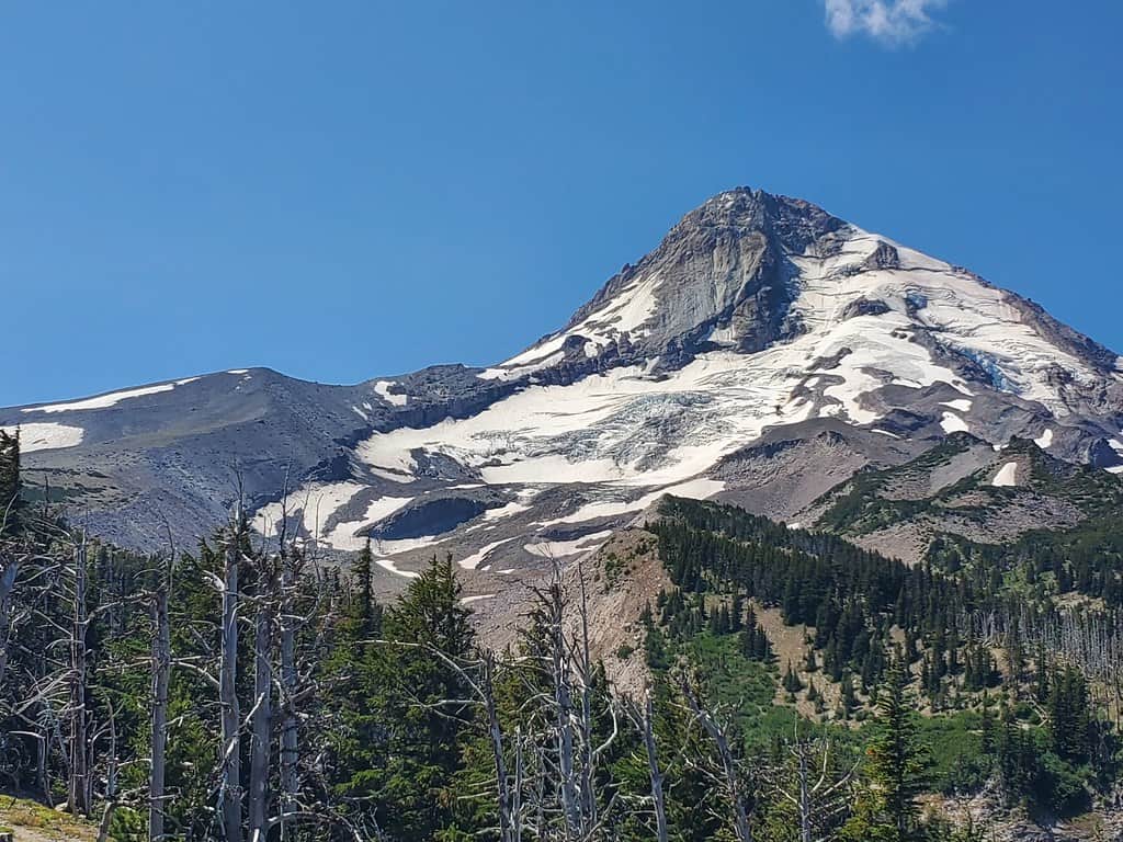
©"Eliot Glacier, Mt. Hood National Forest" by Forest Service Pacific Northwest Region is licensed under PDM 1.0. - Original / License
Eliot Glacier flows down Mount Hood’s northeast flank and is generally identified as Oregon’s largest glacier by area. It and neighboring Coe Glacier are the largest glaciers on Mount Hood, although changing ice margins and different mapping methods can complicate rankings. The Cloud Cap area and nearby sections of the Timberline Trail offer views when seasonal roads and trails are open. Reaching the glacier is a different proposition: the terrain is steep and loose, stream crossings can be hazardous, and travel on the ice is technical. Research has documented major long-term retreat, even though rock debris has insulated parts of the lower glacier.
Blue Glacier (WA)
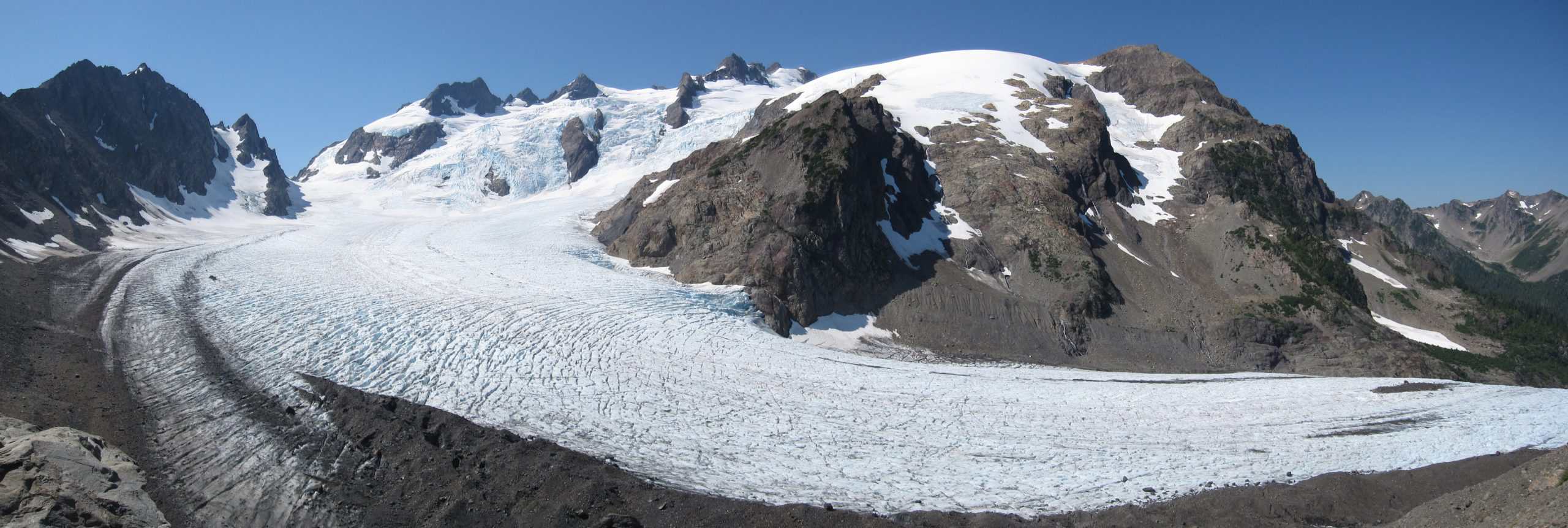
©"Mount Olympus Blue Glacier from Lateral Moraine Panorama" by Aaron Linville is licensed under BY-SA 4.0. - Original / License
Blue Glacier descends from the northeast side of Mount Olympus and is one of Olympic National Park’s largest and most studied glaciers. Seeing it up close is a serious backpacking trip, not a 17-mile day hike. The Hoh River Trail runs about 17.3 miles one way to Glacier Meadows, followed by another steep 0.9-mile climb to the lateral moraine viewpoint—roughly 37 miles round trip. Wilderness permits are required for overnight travel, and the route can include difficult stream crossings, snow and a steep ladder section. The moraine provides the view; entering the glacier or climbing Mount Olympus requires glacier-travel and crevasse-rescue skills.
Coleman Glacier (WA)
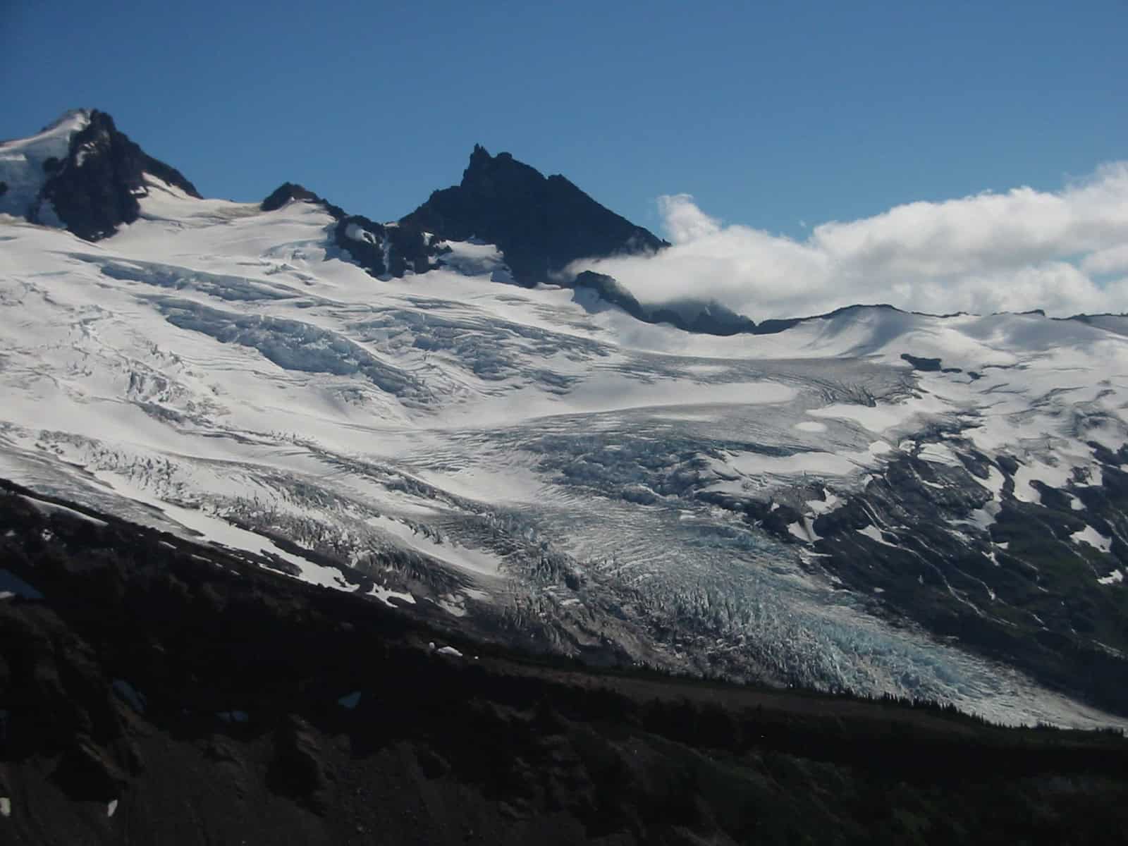
©"Coleman Glacier 6984" by Walter Siegmund is licensed under BY 2.5. - Original / License
Coleman Glacier occupies Mount Baker’s northwest side and joins the Deming Glacier along one of the mountain’s most frequently used summit routes. Day hikers can get close views from the Heliotrope Ridge area, but seasonal road access, snow and unbridged creek crossings can change the trip dramatically. The maintained hiking route should not be confused with the climbers’ route or the glacier itself. Coleman is heavily crevassed, and anyone traveling on it needs roped-glacier experience and rescue gear. Even from solid ground, the broken ice and the neighboring Roosevelt Glacier make this one of the Northwest’s most dramatic glacier viewpoints.
Reid Glacier (OR)
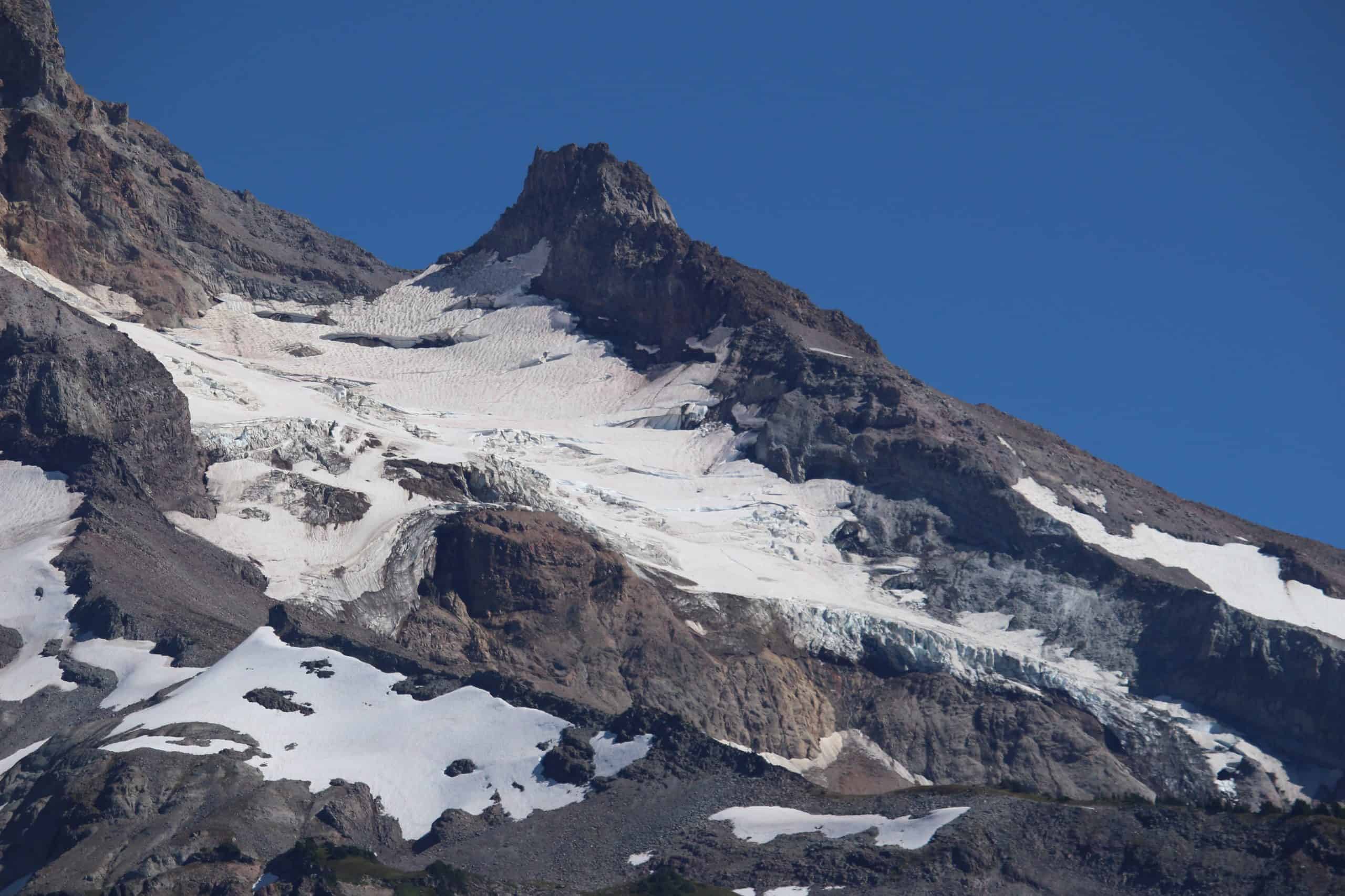
©"Reid Glacier (Oregon) 2618" by Walter Siegmund (talk) is licensed under BY-SA 4.0. - Original / License
Reid Glacier lies high on Mount Hood’s west side and was named for pioneering glaciologist and geophysicist Harry Fielding Reid. Its meltwater contributes to the headwaters of the Sandy River—not a “Reid River,” as the earlier draft stated. Hikers can see the glacier from portions of the Timberline Trail and west-side high country, but the best angles require substantial elevation gain and favorable visibility. The upper mountain is climbing terrain, with steep snow, rockfall, icefall and crevasse hazards. It is a glacier to observe from established routes unless you have the skills and equipment for technical travel.
Carbon Glacier (WA)
©"Carbon Glacier, Mount Rainier National Park" by brewbooks is licensed under BY-SA 2.0. - Original / License
Carbon Glacier flows from Mount Rainier’s north side and has the lowest-elevation terminus of any glacier in the contiguous United States. It is also Rainier’s thickest glacier and the mountain’s largest by volume, while Emmons is largest by surface area. Its lower end looks surprisingly rocky because debris blankets and insulates the ice. From the Carbon River entrance, visitors travel the vehicle-closed Carbon River Road on foot or by bicycle, then continue beyond Ipsut Creek on trail for a terminus view. That makes this a long backcountry outing rather than a roadside overlook, and washouts, bridges and seasonal conditions should be checked with the park first.
Whitman Glacier (WA)
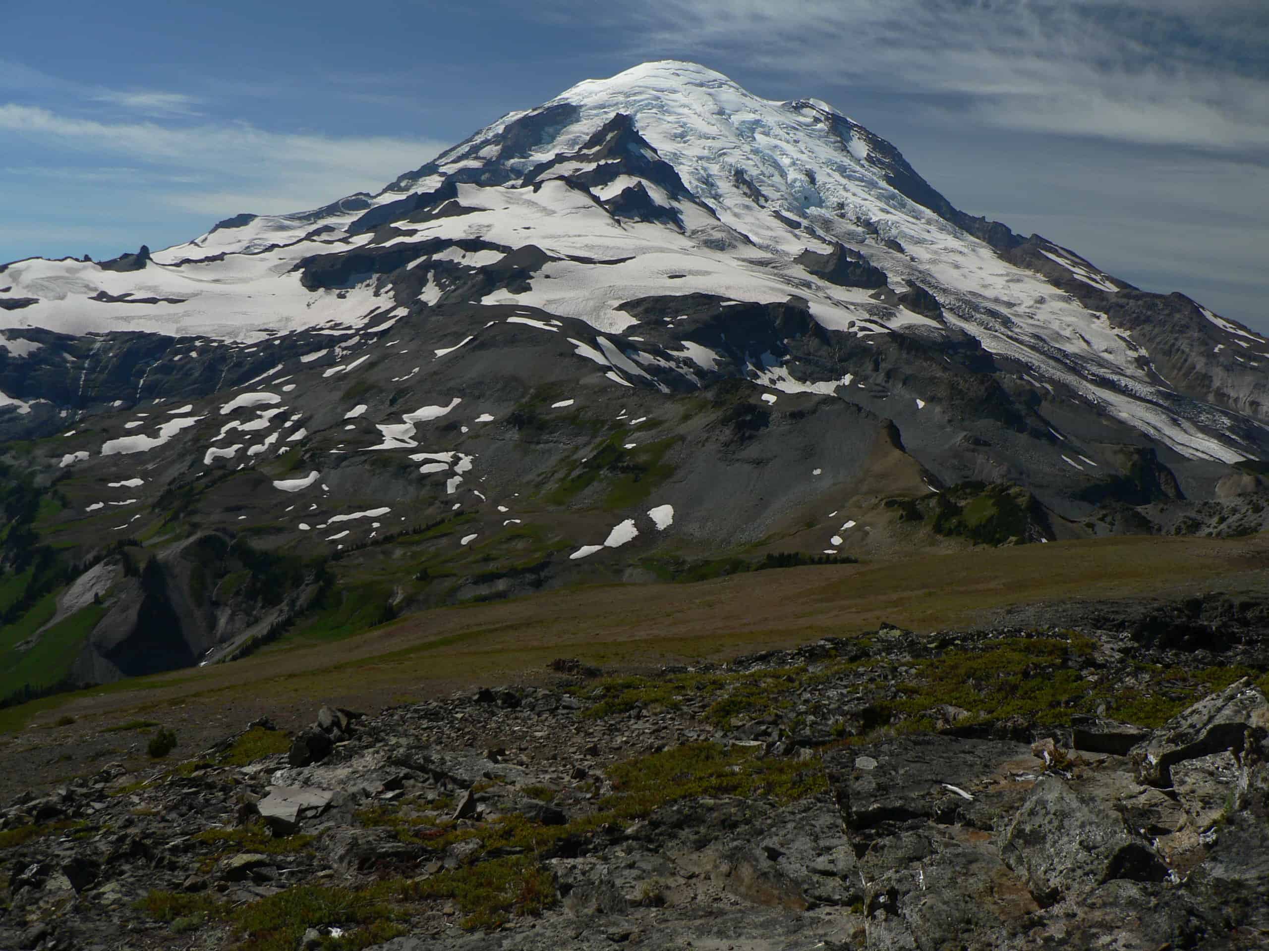
©"Mount Rainier 22973" by Walter Siegmund is licensed under BY 2.5. - Original / License
Whitman Glacier is a relatively small, high-elevation glacier on Mount Rainier’s southeast flank. Its meltwater reaches the Cowlitz River system, and long-term mapping shows the same broad pattern of ice loss seen around the mountain. Unlike Emmons or Carbon, Whitman does not have a short, dedicated visitor trail. Close views generally come from strenuous backcountry or climbing routes near Little Tahoma and the Whitman Crest. That remoteness is part of its appeal, but it also means this is not a casual glacier stop. Most park visitors will see it only from a distance, in clear weather, from the east or southeast side of Rainier.
Glacier Peak Glaciers (WA)
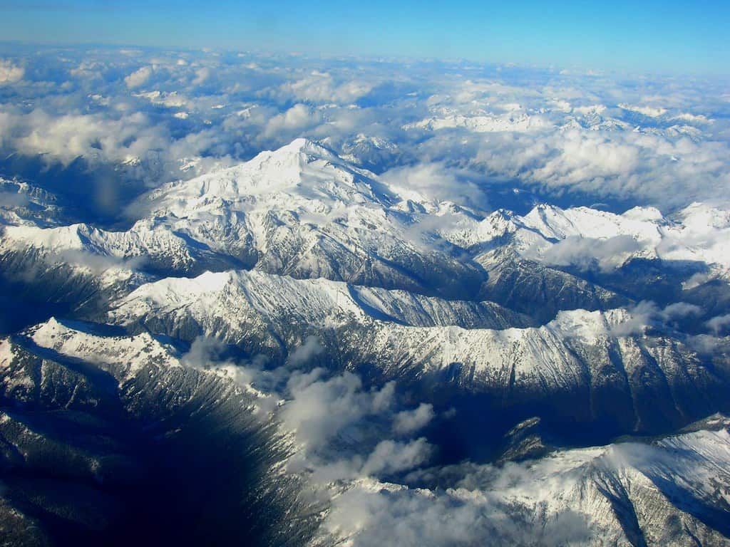
©"Glacier Peak" by brewbooks is licensed under BY-SA 2.0. - Original / License
Glacier Peak is Washington’s most remote volcano and carries more than a dozen glaciers, including Chocolate, Dusty and Kennedy. There is no road to the mountain and no easy glacier overlook. Views come from long wilderness trails and high passes, while close approaches and summit routes demand experienced backpacking or mountaineering. The glaciers are not untouched by their isolation: warming affects remote ice as surely as roadside ice, and retreat can alter summer streamflow and increase debris-flow hazards. For most travelers, the honest pitch is not “easy access” but a demanding wilderness journey with glacier-covered volcanic scenery as the reward.
Lyman Glacier (WA)
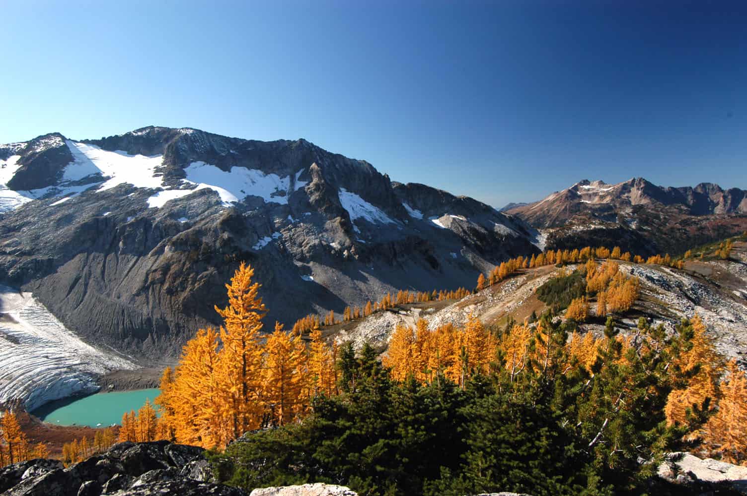
©"File:Glacier-Lyman-Tamarack.jpg" by Marshmallow from Seattle, WA, USA is licensed under BY 2.0. - Original / License
Lyman Glacier sits beneath Chiwawa Mountain in the Glacier Peak Wilderness and drains through the Lyman Lakes into Railroad Creek. Field observations put its 2022 area at about 0.22 square kilometers—less than 13 percent of its estimated 1890 extent. Backpackers often see the basin as part of a Spider Gap–Lyman Lakes itinerary, but “loop” can make the trip sound more formal than it is. The journey uses long wilderness trails plus an unmaintained, snow-covered cross-country route through Spider Gap. Route-finding, steep snow and remote conditions are real concerns. The remaining glacier is best viewed from the basin rather than approached on its unstable margins.
Sandy Glacier (OR)
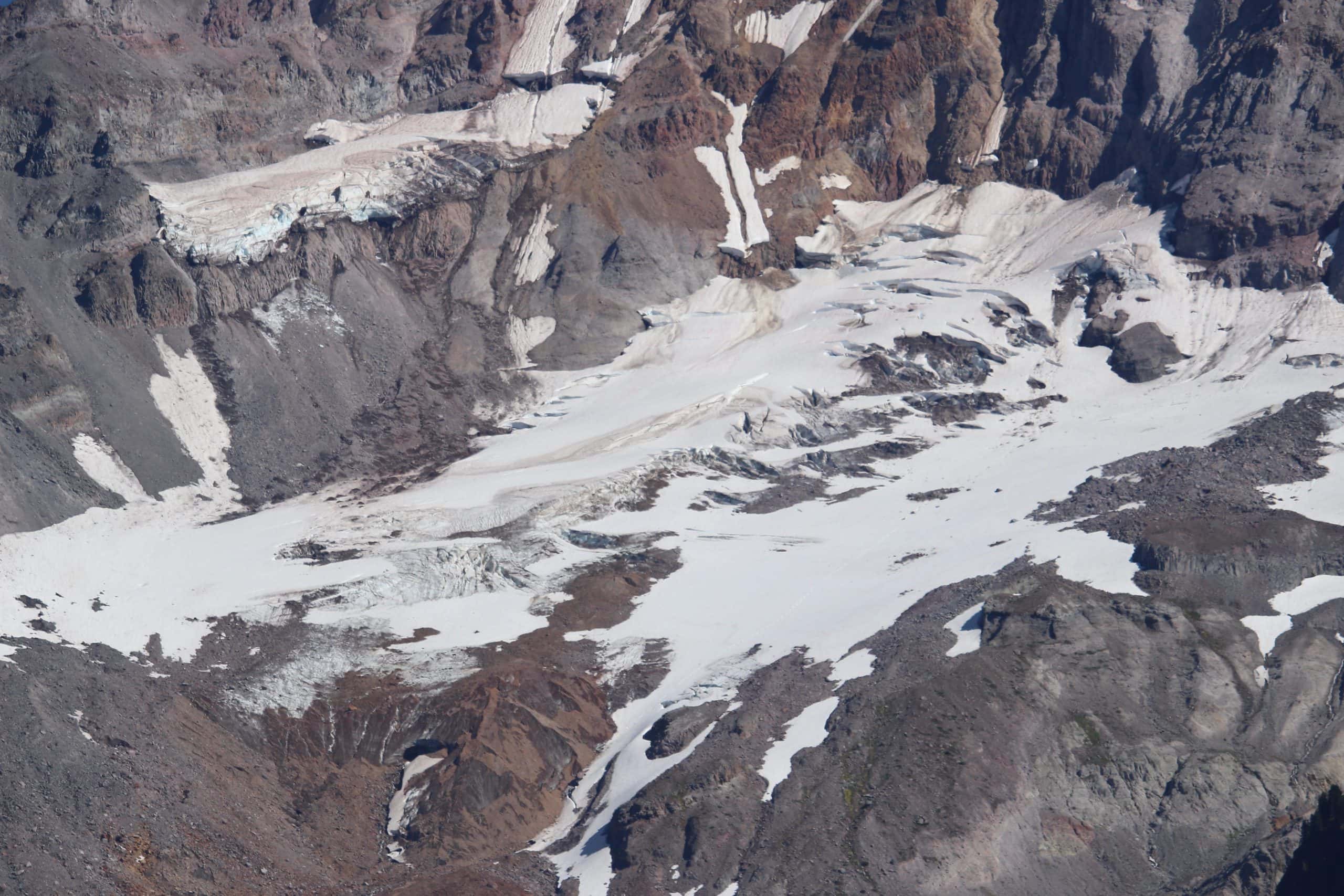
©"Sandy Glacier 2616" by Walter Siegmund (talk) is licensed under BY-SA 4.0. - Original / License
Sandy Glacier occupies Mount Hood’s west flank and feeds the headwaters of the Sandy River. It once contained a celebrated system of more than 7,000 feet of mapped passages, described at the time as the largest known glacier-cave system in the Lower 48. That is now history: the extensively documented caves had collapsed and disappeared by 2016 as the lower glacier changed. New openings can form, but glacier caves are temporary, unstable and not recreational destinations. McNeil Point and other west-side high country can provide distant views of the glacier. Do not plan a trip around entering ice caves or crossing the glacier without expert preparation.
Mazama Glacier (WA)
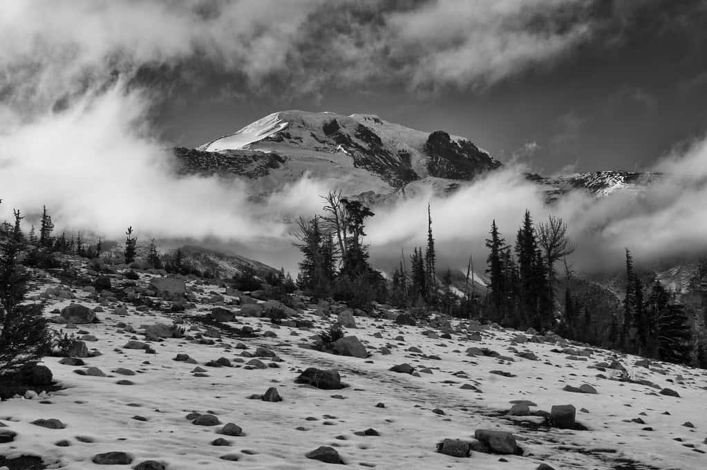
©"Mazama framed by clouds" by Unsettler is licensed under BY-ND 2.0. - Original / License
Mazama Glacier lies on the southeast side of Mount Adams within the Yakama Nation Reservation. Its fractured ice can be seen from parts of the standard South Climb approach on adjoining national-forest land, but that route does not grant access to tribal land or turn the glacier into an ordinary hiking destination. Travel high on Mount Adams involves snow, rapidly changing weather and serious fall hazards; leaving established routes for glaciated terrain adds crevasse risk. A climbing pass is required for travel above 7,000 feet during the managed climbing season. Most visitors should appreciate Mazama from a distance and check current Forest Service and Yakama Nation access rules before the trip.
Collier Glacier (OR)
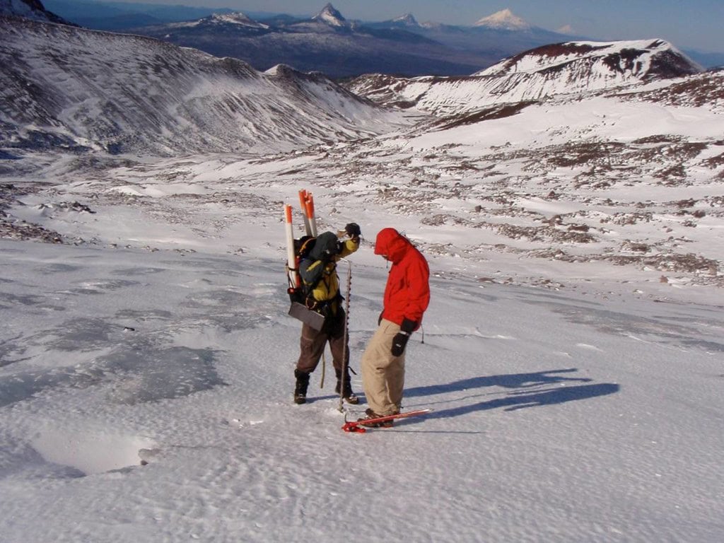
©"Collier Glacier" by Oregon State University is licensed under BY-SA 2.0. - Original / License
Collier Glacier clings to the northwest flank of North Sister in the Three Sisters Wilderness. It was probably Oregon’s largest glacier at its Little Ice Age maximum, but it should not be described as the state’s largest today; that distinction generally goes to Eliot Glacier on Mount Hood. Recent observations put Collier at roughly 0.49 square kilometers in the early 2020s, down from about 1.17 square kilometers in the 1950s. It remains one of Oregon’s best-documented glaciers. Reaching close viewpoints requires a substantial wilderness trip, and some approaches cross limited-entry permit areas. The glacier itself is loose, steep alpine terrain rather than a casual photography stop.
Kautz Glacier (WA)
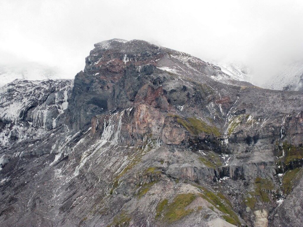
©"Looking to Kautz Glacier? from Mildred Point" by brewbooks is licensed under BY-SA 2.0. - Original / License
Kautz Glacier drops from Mount Rainier’s upper southwest side, and its meltwater runs through Kautz Creek into the Nisqually River. Climbers know it for the Kautz Glacier route, a more technical alternative to Rainier’s heavily traveled Disappointment Cleaver route. The glacier’s icefalls, steep snow and crevasses make it an experienced mountaineer’s objective—not a place for hikers to wander onto for a closer photograph. Lower-elevation trails and roadside areas on Rainier’s southwest side provide context for the Kautz Creek drainage, but clear views of the upper glacier depend on route, weather and mountain conditions.
Spider Gap Snowfield (WA)
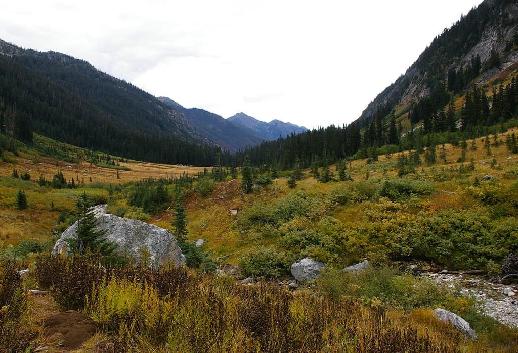
©"Autumn in the Glacier Peak Wilderness-Okanogan Wenatchee" by Forest Service Pacific Northwest Region is licensed under PDM 1.0. - Original / License
The feature traditionally labeled Spider Glacier near Phelps Ridge no longer meets the scientific definition of an active glacier. The current U.S. inventory classifies it as a perennial snowfield: old snow and ice may survive the summer, but there is no evidence of the sustained flow that defines a glacier. Backpackers still cross the snowfield on the unmaintained route through Spider Gap toward the Lyman Lakes. That crossing can be steep, hard and dangerous even without crevasses; an uncontrolled slide can end in rocks or running water. Calling it Spider Gap Snowfield preserves the familiar destination while accurately describing what remains.

