
Cross the Cascade Range into Central and Eastern Oregon and the Pacific Northwest starts to look a little different. Fir forests give way to sagebrush, wide valleys, old lava flows, and enormous skies. This is Oregon’s high desert, a region where one day might involve a riverside walk or colorful fossil beds and the next might mean a lonely road beneath Steens Mountain.
There is plenty to see, but distances matter. A quick glance at a map can make the Painted Hills, Malheur National Wildlife Refuge, and the Alvord Desert look like nearby dots. In reality, they belong to different parts of a vast landscape, with seasonal roads, limited fuel stops, and stretches where your phone may be little help.
These 17 destinations and lodging ideas are arranged loosely by region, beginning around Bend, heading east toward the John Day country and Harney Basin, then looping through the southern Outback. They are not a single-day itinerary. Use them to choose the places that interest you, find a practical base, and give the drive itself room to be part of the trip.
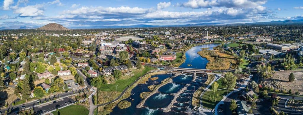
Bend – The Easiest High Desert Base
©Mike Albright Photography/Shutterstock.com
Bend is where the high desert meets the conveniences of a proper vacation town. The Deschutes River runs through the city, with walking paths, paddling, and the Whitewater Park all close to restaurants and coffee shops. Drive a little farther and you can trade river scenery for juniper-covered trails, volcanic landscapes, or mountain views. Mount Bachelor is west of town in the Cascades, so winter skiing is a separate mountain outing rather than a desert activity.
If this is your first trip into Central Oregon, Bend makes a sensible starting point. It has the broadest selection of hotels, vacation rentals, food, and stores in this part of the route, and it is convenient for exploring the Oregon Badlands and other nearby sights. Summer weekends and winter ski periods can be busy, so book ahead. Save the really remote adventure for the days when you’ve filled the gas tank and packed enough water.
Oregon Badlands Wilderness – Solitude Near Bend
©"Oregon Badlands Wilderness" by BLM Oregon & Washington is licensed under BY 2.0. - Original / License
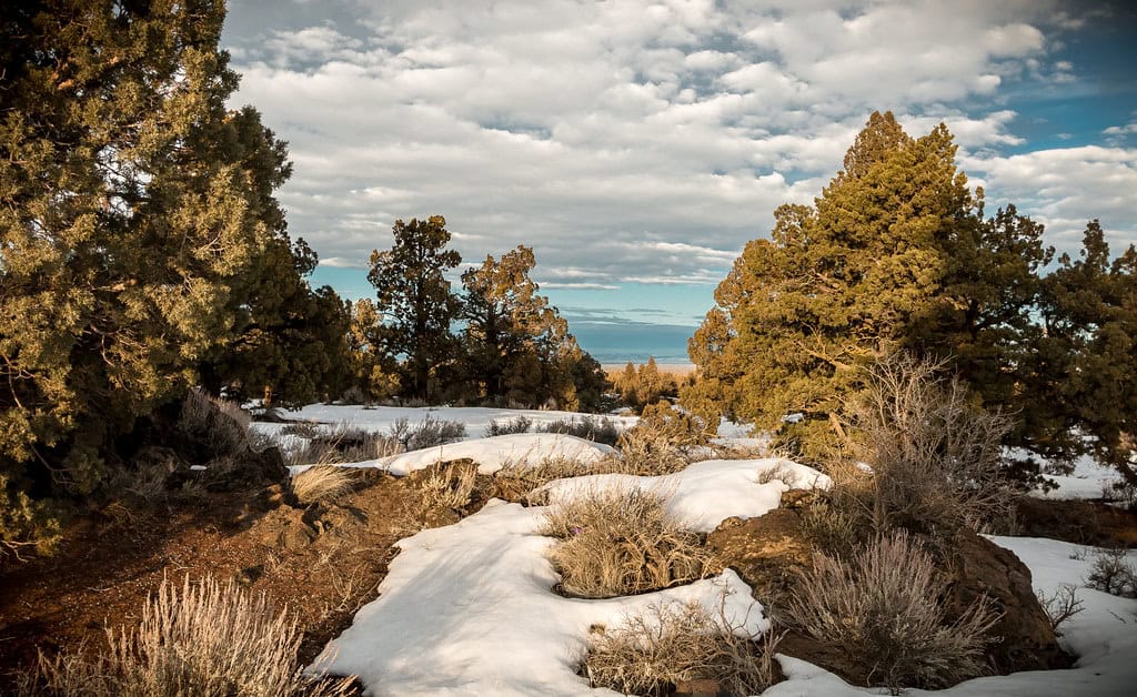
Less than 20 miles east of Bend, the Oregon Badlands Wilderness feels like another planet. This protected landscape covers roughly 29,000 acres of old juniper, volcanic outcrops, sandy trails, and big empty horizons. Hiking routes lead to formations such as Flatiron Rock and Badlands Rock, while the lack of city lights makes the area attractive for stargazing. This is wilderness, though, not a mountain-bike playground: bicycles and other mechanized transportation are generally prohibited inside its boundaries.
Spring and fall are the sweet spots for hiking, when the exposed terrain is usually less punishing than in midsummer. Bring plenty of water, sun protection, and an offline map; trail junctions can be hard to follow and there are no hotels or visitor services out among the rocks. Stay in Bend and make it a day trip, or check current Bureau of Land Management rules if you’re planning a backcountry overnight.
Smith Rock State Park – Cliffs and Crooked River Views
©"Smith Rock State Park" by J K Amero is licensed under BY 2.0. - Original / License
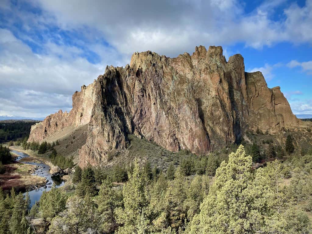
Smith Rock, near Terrebonne, is one of the defining landscapes of Central Oregon. Tall volcanic cliffs rise above bends in the Crooked River, drawing rock climbers from around the world and plenty of hikers who would prefer to keep both feet firmly on a trail. Misery Ridge rewards the climb with terrific views, but the name is a fair warning: it is steep. The easier riverside routes are a better choice for a less strenuous visit, especially on a hot day.
The park is open for day use year-round, and a day-use parking permit is required. Its camping season normally runs from March 15 through November 15, with sites offered first-come, first-served. If you would rather sleep indoors, look at nearby Redmond, Terrebonne, or Bend. Spring and fall are generally the most comfortable seasons, and it’s smart to check the park’s current trail or parking advisories before driving out.
Prineville – A Quieter Central Oregon Stop
©"prineville oregon" by gilbert928 is licensed under BY 2.0. - Original / License
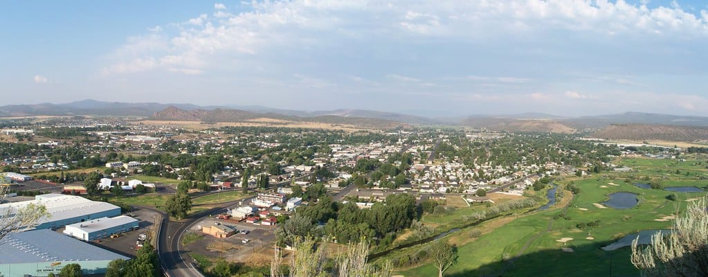
Prineville doesn’t have Bend’s buzz, and that is part of its appeal. This historic Central Oregon town is a gateway to the Ochoco National Forest, the Crooked River canyon, and Prineville Reservoir. You can spend a morning exploring town, head out for hiking or fishing, and still find a proper meal afterward. The surrounding country is also known for rockhounding, although collecting rules depend on exactly where you’re standing, so don’t assume every interesting rock is yours to take home.
Prineville works as a lower-key overnight stop before heading farther east toward Mitchell and the John Day country. There are motels, RV options, and camping around Prineville Reservoir, including developed sites with more amenities than you will find deep in the desert. It’s a useful place to refuel, stock up, and decide whether the next day is about scenic backroads or simply enjoying the view without much of a schedule.
Mitchell – The Small Town Near the Painted Hills
©"20210803 23 Mitchell, Oregon" by davidwilson1949 is licensed under BY 2.0. - Original / License
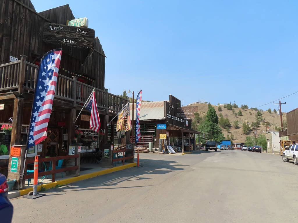
Mitchell is tiny, but it has one very good thing going for it: the Painted Hills Unit of John Day Fossil Beds National Monument is about nine miles northwest of town. That makes Mitchell a natural place to pause before or after seeing the colorful clay hills. Its old buildings and dramatic canyon setting give it the feel of a town that has seen a lot of travelers pass through, even if not all of them stop long enough to look around.
There are a few places to eat and stay, including small lodging properties and camping or RV options, but this is not a town where you should expect a dozen backup choices. Verify hours and make reservations ahead of time, especially during a busy spring or fall weekend. If you want to catch the Painted Hills in softer morning or evening light, sleeping nearby is more practical than making a long drive from a larger city.
Painted Hills – Oregon’s Colorful Ancient Landscape
©"Painted Hills, Oregon" by Bonnie Moreland (free images) is licensed under CC0 1.0. - Original / License
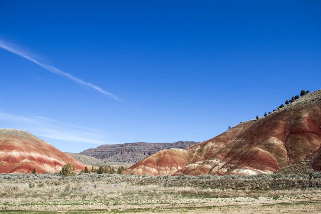
The Painted Hills look almost too colorful to be real: broad bands of red, gold, and dark clay ripple across hillsides shaped by ancient soils and changing environments. They are one of three separate units of John Day Fossil Beds National Monument, not a single park connected by short walking paths. Five designated trails in the Painted Hills Unit offer different perspectives. The short Painted Hills Overlook and Painted Cove walks are particularly good choices if you aren’t planning a long hike.
The colors can look different as the light and moisture change, which is why photographers love the hours around sunrise and sunset. Stay on established trails and never walk on the exposed hills; the delicate formations can be damaged by footprints. There is no camping or lodging inside the national monument. Mitchell is the closest small-town option, while other campgrounds and rooms are scattered across the surrounding region. Bring water in summer, when the heat can be fierce.
John Day – Fossils and Chinese American History
©"John Day Oregon" by Trashbag is licensed under BY-SA 3.0. - Original / License
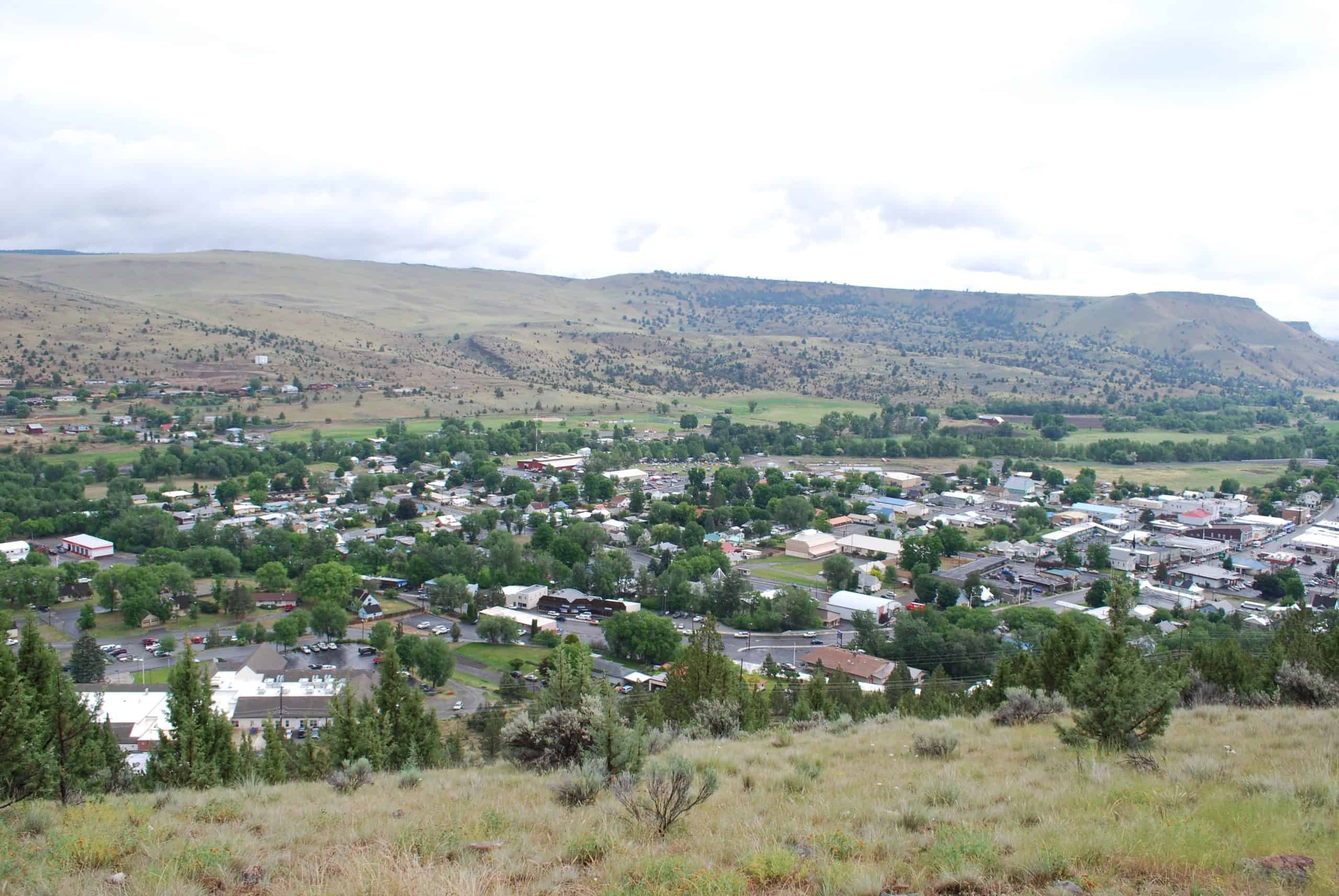
The town of John Day is worth more than a quick gas stop. Its standout historic attraction is Kam Wah Chung State Heritage Site, a remarkably preserved Chinese American store, medical clinic, and community space. Guided visits to the historic building are offered seasonally, typically May through October, and tour groups are small. It’s a fascinating reminder that the region’s history includes far more than ranches, prospectors, and wagon trails.
John Day also makes a convenient base for exploring the Sheep Rock Unit of John Day Fossil Beds, including the blue-green formations of Blue Basin and the Thomas Condon Paleontology Center. Just don’t assume the monument’s Painted Hills, Sheep Rock, and Clarno units are next door to one another; they are spread out across a large area. The town has conventional lodging and services, making it a sensible place to spend the night before traveling south toward Burns.
Burns – Your Harney Basin Supply Stop
©"Harney Basin near Burns, Oregon, 2007" by tetraconz is licensed under BY 2.0. - Original / License
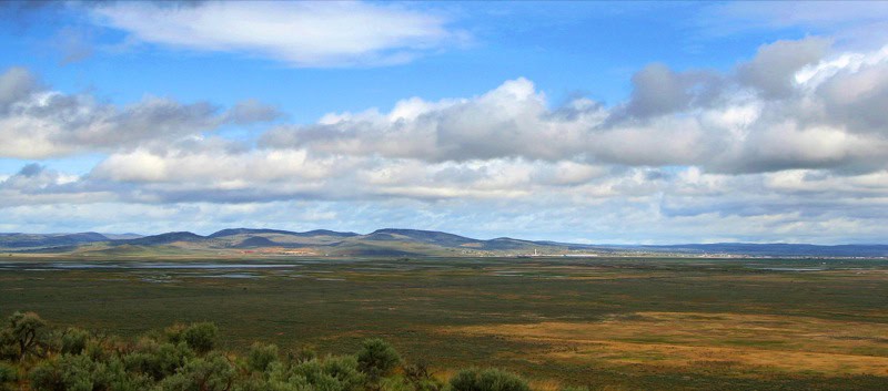
Burns and neighboring Hines are useful gateways to the southeastern Oregon desert. The landscape opens up fast beyond town, with sagebrush country, huge skies, and long stretches between services. Malheur National Wildlife Refuge is a major reason to come, particularly during bird migration, but Burns also gives travelers a chance to get groceries, fuel, and a decent night’s sleep before driving toward Frenchglen, Steens Mountain, or even more remote roads.
You will find motels and other practical accommodations in the Burns-Hines area. In spring, birdwatching traffic can make advance booking a smart move; in colder months, the weather can change the day’s plans in a hurry. Treat this as your resupply point, not a guarantee that food, fuel, or cell reception will be available at the next scenic pullout. Once you leave town, the map starts looking a lot emptier.
Malheur National Wildlife Refuge – A Desert Birding Oasis
©"Malheur National Wildlife Refuge, Oregon" by Bonnie Moreland (free images) is licensed under CC0 1.0. - Original / License
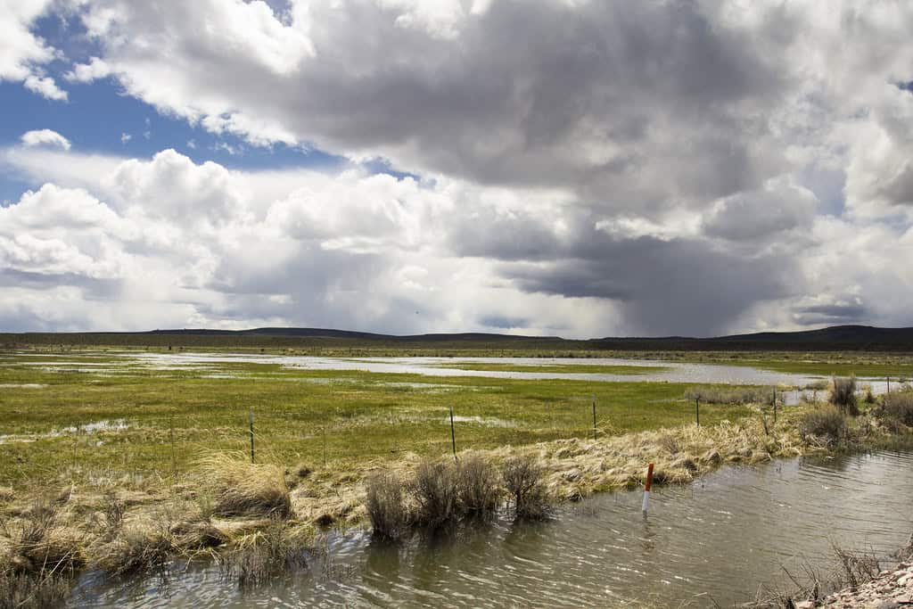
Wetlands in the middle of the high desert might sound unlikely, but that’s exactly what makes Malheur National Wildlife Refuge so remarkable. The refuge protects more than 187,000 acres of lakes, marshes, meadows, and sagebrush habitat in the Harney Basin. More than 340 bird species have been recorded here, with waterfowl, cranes, songbirds, and raptors appearing in different seasons. The original claim about ‘thousands of migratory species’ was a serious overstatement; the impressive part is the number of birds, not thousands of different species.
May is an especially active spring birding month, while early fall brings another migration window. Wildlife watching is often best from roads and designated viewing areas, where you can avoid disturbing animals. Entry is free, and the visitor area and trails generally operate from sunrise to sunset. Burns or Hines make practical hotel bases, while Frenchglen is handy for exploring the southern end. Don’t assume camping is allowed inside the refuge; choose an established campground outside its boundaries instead.
Frenchglen – A Historic Base for Steens Mountain
©"P Ranch Long Barn 1 - Frenchglen Oregon" by Ian Poellet is licensed under BY-SA 4.0. - Original / License
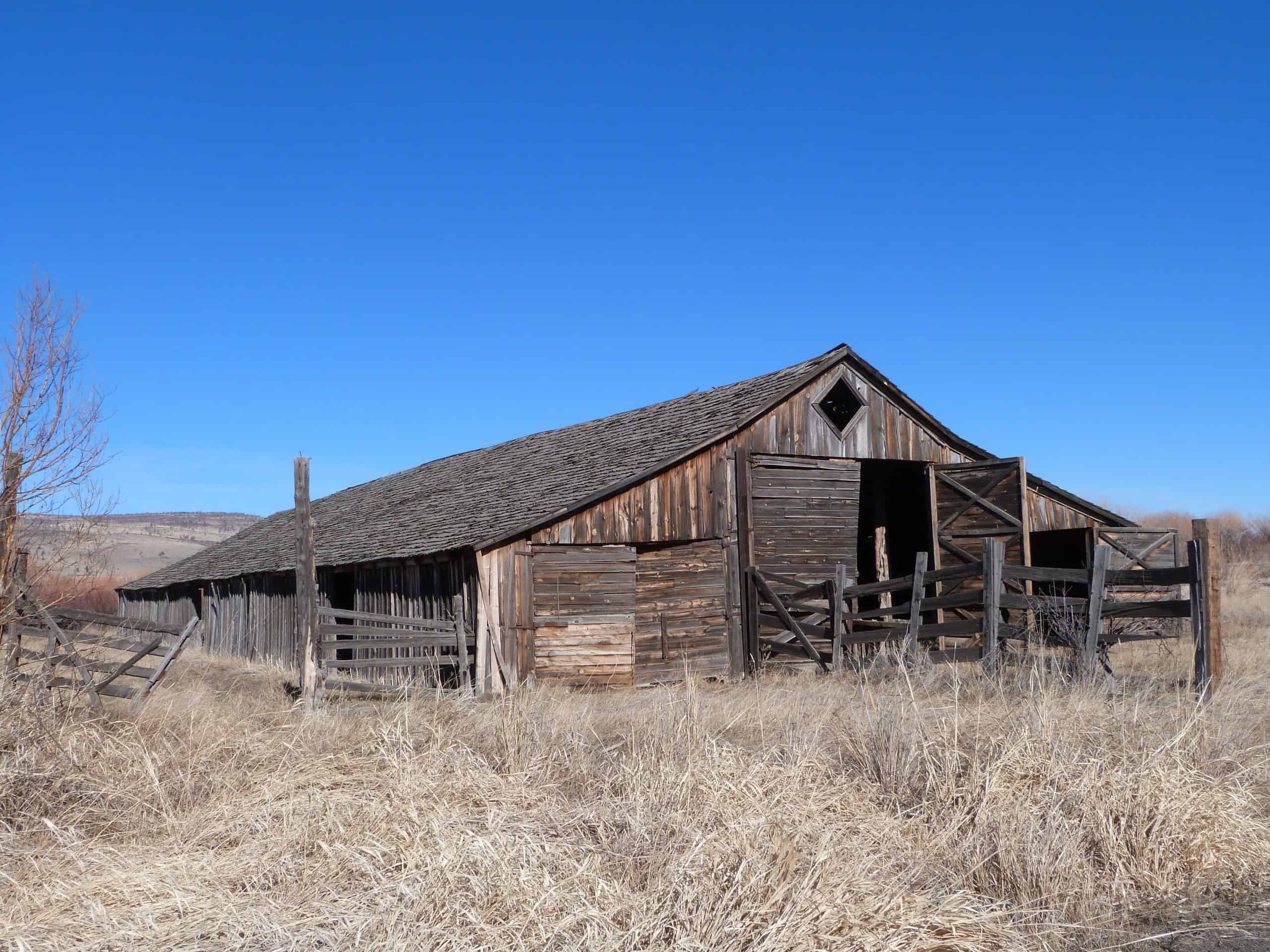
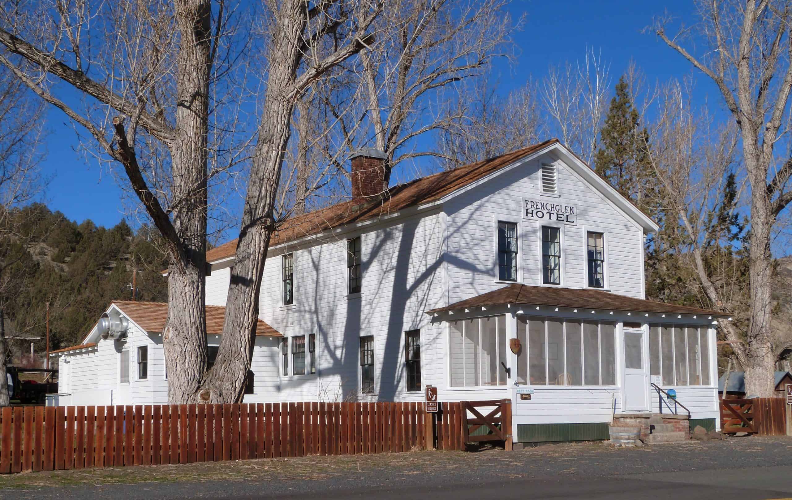
Frenchglen is easy to miss if you’re expecting a bustling downtown. This small ranching community south of Burns is better known as a starting point for Steens Mountain and the southern reaches of Malheur National Wildlife Refuge. Its landmark is the Frenchglen Hotel, built around 1917 and preserved as an Oregon state heritage site. Staying here feels closer to stepping into a piece of the region’s history than checking into an ordinary roadside motel.
The historic hotel and adjacent Drover’s Inn publish a March 15 through October 31 operating season. Traditional hotel rooms have shared bathrooms, while the additional rooms at Drover’s Inn have private ones. Meals and lodging may require advance reservations, so verify current arrangements before arriving. If the rooms are full or you’d rather sleep outside, Page Springs Campground is a short drive away. Frenchglen works well for the west side of Steens; the Alvord Desert on the mountain’s east side is a separate, much longer drive.
Steens Mountain – Big Views, Short Driving Season
©"Fish Lake at sunrise, Steens Mountain, Oregon" by Bonnie Moreland (free images) is licensed under PDM 1.0. - Original / License
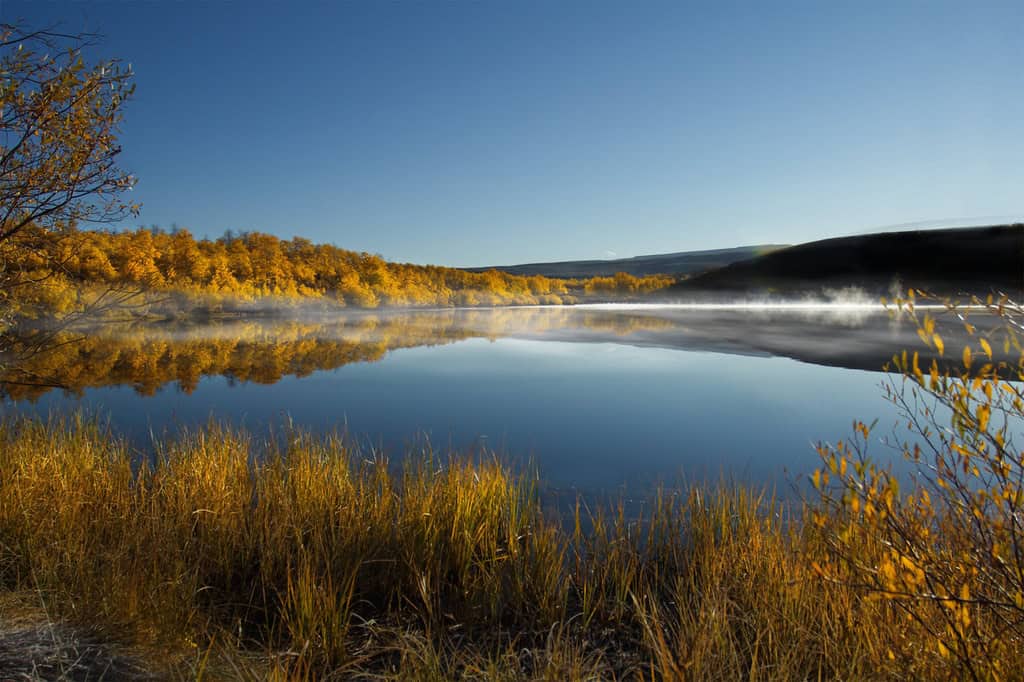
Steens Mountain rises dramatically above the southeastern Oregon desert, with sweeping vistas and deep, glacier-carved gorges that look nothing like the gentle hills many travelers expect from the word ‘desert.’ The 52-mile Steens Mountain Backcountry Byway takes drivers toward overlooks such as Kiger Gorge and East Rim, while trails lead into wilder country. This is one of the most rewarding scenic drives in the state, provided you respect how remote and high it really is.
The full mountain loop is usually open only from early July to mid-October, and actual dates depend on snow and road conditions. Some sections can be rough, and weather can change quickly even in summer, so check with the Bureau of Land Management before setting out. Frenchglen is the natural lodging base on the west side; Page Springs and South Steens provide campground options. Carry water, food, and enough fuel for the journey rather than hoping the next service station is around the bend.
Alvord Desert – A Vast Playa Below Steens Mountain
©"Alvord Desert, Oregon" by lamblukas is licensed under BY 2.0. - Original / License
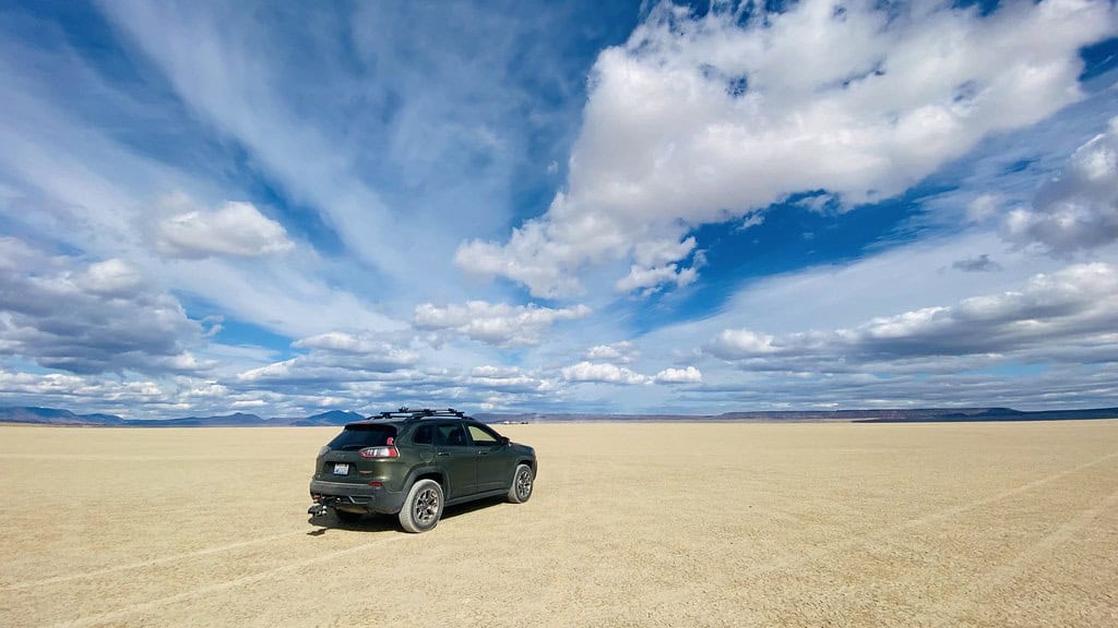
On the east side of Steens Mountain, the Alvord Desert trades ridgelines for a giant pale lakebed that seems to stretch forever. The playa measures roughly six miles wide and eleven miles long, and when conditions are right it is an unforgettable place to watch the light change, stargaze, and appreciate just how quiet a landscape can be. Nearby Alvord Hot Springs is a privately operated stop, not a public amenity included with access to the desert.
Here’s the important part: never drive onto the playa if the surface is wet or even looks damp. Fine clay can trap a vehicle remarkably fast, and rescue services are a long way away. The Bureau of Land Management says the surface is most often dry enough for vehicle travel from June into November, but weather always wins. Bring drinking water, shade, a paper or offline map, and a full fuel tank. There are no conventional hotels at the playa, and Fields is the nearest small community for limited services.
Lakeview – Oregon’s Tallest Town
©"Welcome to Lakeview, Oregon" by Ken Lund is licensed under BY-SA 2.0. - Original / License
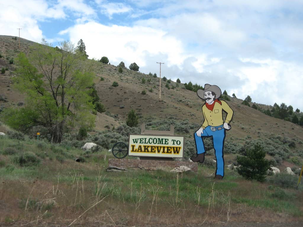
Lakeview sits at roughly 4,800 feet above sea level, giving it the well-earned nickname of Oregon’s tallest town. Surrounded by the Warner Mountains and big stretches of ranch country, it’s a useful base for exploring the Oregon Outback Scenic Byway. Wildlife watchers can consider the more distant Hart Mountain National Antelope Refuge, and the area’s open roads and dramatic scenery appeal to people who would rather take their time than rush between tourist stops.
Unlike some of the smaller settlements on this route, Lakeview offers a practical selection of motels, RV facilities, dining, and fuel. It’s a good overnight option while traveling through the southern high desert, especially if you’re heading toward or away from the Christmas Valley region. Summer and early fall usually make for easier road trips, but even warm days can turn into chilly nights at this elevation. Check road conditions in winter and don’t count on isolated attractions operating every day.
Fort Rock – A Volcano Shaped by an Ancient Lake
©"Day 38- Old Fort Rock, Oregon (8452501435)" by Loren Kerns from Tigard, Oregon, USA is licensed under BY 2.0. - Original / License
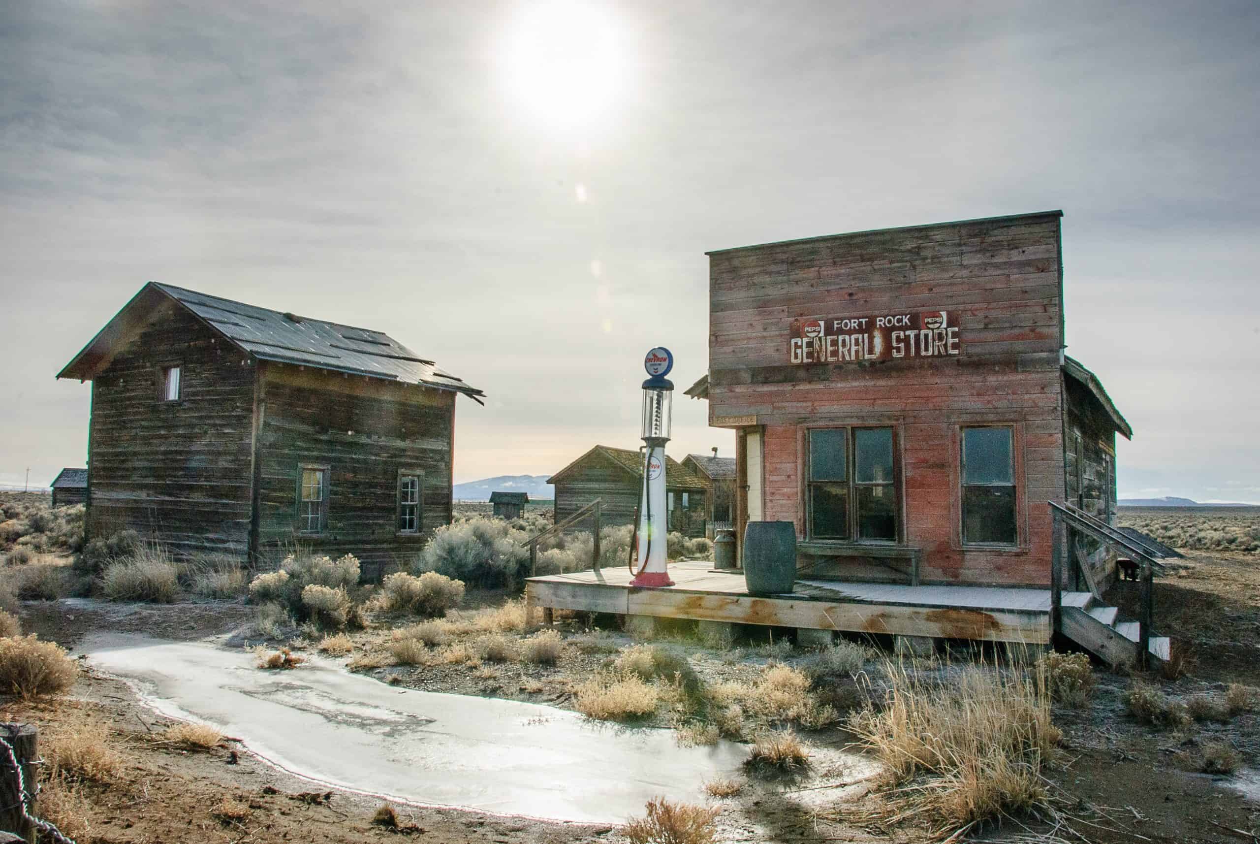
Fort Rock rises out of a flat basin like the remains of a gigantic stone fortress. The striking formation is a volcanic tuff ring created when hot magma interacted with water long ago. A walk at Fort Rock State Natural Area lets you appreciate the sheer scale of its walls and the open country surrounding them. Nearby Fort Rock Cave is also archaeologically important, but access to the cave is by guided tour only, not an unplanned wander off the main trail.
Spring and fall are comfortable seasons to explore, although the scenery is memorable year-round when weather allows. The historic buildings associated with the Fort Rock Homestead Village are a separate attraction; don’t assume they’re part of the natural-area loop trail. Lodging is limited in the immediate area, with basic options around Christmas Valley and additional choices farther away. Oregon State Parks has also posted a temporary drone prohibition at Fort Rock, so check current site rules before visiting.
Crack in the Ground – Walk Into a Volcanic Fissure
©"Imaginary Creature in a Rock Formation in Crack-in-the-Ground, Oregon" by Jssphoto (Joel Simpson) is licensed under BY-SA 4.0. - Original / License
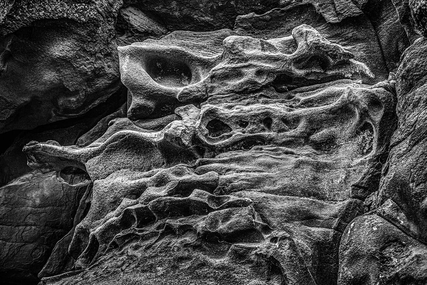
Crack in the Ground sounds like an understatement until you see it. Near Christmas Valley, this ancient volcanic fissure extends more than two miles and reaches depths of up to 70 feet. An established trail follows the bottom of the formation, where the air can be as much as 20 degrees cooler than the surrounding surface. That makes for a memorable hike, although loose rock, uneven footing, and the remote setting mean this is not a casual stroll in flip-flops.
The Bureau of Land Management lists the site as open year-round, but access roads can be rugged or impassable; four-wheel drive is recommended. There is no drinking water, and cell reception should never be taken for granted. Christmas Valley is the nearest service community, while Green Mountain Campground has a handful of primitive sites nearby. Spring and fall are usually easiest for a trip, but the cooler interior can be appealing in summer as long as you’re prepared for the desert heat outside.
Hotels and Inns – Where to Sleep Between Adventures
©"Frenchglen Hotel - Frenchglen Oregon" by Ian Poellet is licensed under BY-SA 4.0. - Original / License
The single best lodging decision in Oregon’s high desert is figuring out which part of it you actually plan to explore. Bend has the broadest hotel and rental selection for Central Oregon. Prineville and John Day are useful bases along the route east. Burns and Hines are practical for Malheur and the Harney Basin, while Lakeview makes sense in the southern Outback. Mitchell offers limited small-town lodging close to the Painted Hills, and Frenchglen has a memorable historic hotel for Steens Mountain trips.
You don’t need to move hotels every night, but you also shouldn’t expect one base to make every attraction a quick day trip. Distances are substantial, and a mountain or dirt road can turn an apparently short stretch on the map into a much longer outing. Reserve small properties early, confirm seasonal opening dates, and check whether meals are included or even available nearby. In remote Oregon, knowing where dinner is coming from is part of having a good plan.
Camping – From Riverside Sites to Desert Nights
©Prapat Aowsakorn/Shutterstock.com
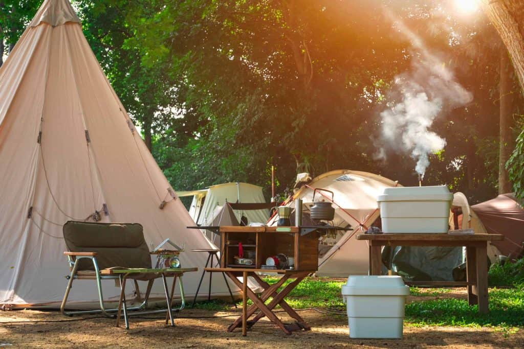
Camping is one of the best ways to experience the high desert after the daytime crowds have disappeared. Page Springs Campground near Frenchglen is open year-round and serves as a convenient base for the lower Steens area. South Steens Campground is generally seasonal, while Smith Rock has first-come, first-served camping during its posted season. Near Christmas Valley, Green Mountain offers a small number of basic sites. More isolated camping is possible on some public lands, but the rules vary with the land manager and exact location.
Don’t confuse dispersed camping with permission to pitch a tent anywhere. Camping is prohibited inside all three units of John Day Fossil Beds National Monument, for example, and sensitive wildlife areas have their own restrictions. Check current fire rules, pack out trash, and carry extra water and weather-appropriate gear. The Alvord playa deserves special caution: wind and wet clay can cause serious problems. Whether you want a riverside campground or a sky full of stars, a little homework makes for a much better night outdoors.

