
The Pacific Northwest makes it remarkably easy to fall in love with hiking. Mountains rise practically out of the backyard, waterfalls hide just beyond the highway, and some of the country’s wildest landscapes are only a few hours from Seattle.
But beautiful scenery can hide very real hazards. A trail can be manageable in perfect weather and become an entirely different experience when clouds roll in, temperatures spike, snow lingers, or a stream suddenly rises.
From Mount Rainier’s deceptive Muir Snowfield to the chains of Angels Landing and the isolated canyons of Utah, these are 17 beautiful American hiking destinations that demand serious respect. Some are physically punishing. Others become dangerous because of weather, wildlife, water, exposure, or the simple fact that help may be hours away.
Camp Muir: Washington’s Snowfield Test
©"Mt. Rainier from Just Under Camp Muir" by Andrew E. Larsen is licensed under BY-ND 2.0. - Original / License
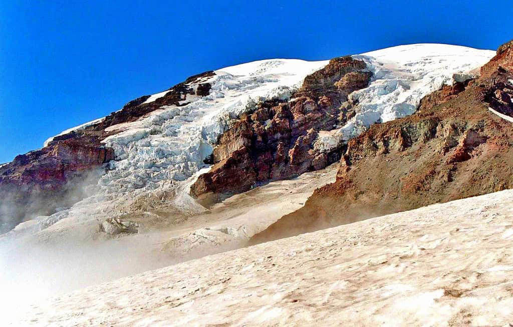
It makes sense to start close to home. The climb from Paradise toward Camp Muir on Mount Rainier takes hikers onto the Muir Snowfield, a permanent expanse of snow, ice, and exposed rock that stretches into elevations near 10,000 feet. On a clear summer day, the views can make the route look almost inviting. The trouble starts when Rainier reminds visitors that it creates its own weather. Clouds, fog, wind, and cold can arrive quickly, turning a straightforward climb into a navigation problem in a remarkably short amount of time.
Camp Muir: When the Trail Disappears
©"<div class='fn'> Camp Muir Mount Rainier National Park Washington</div>" by David Geeraerts is licensed under BY 3.0. - Original / License
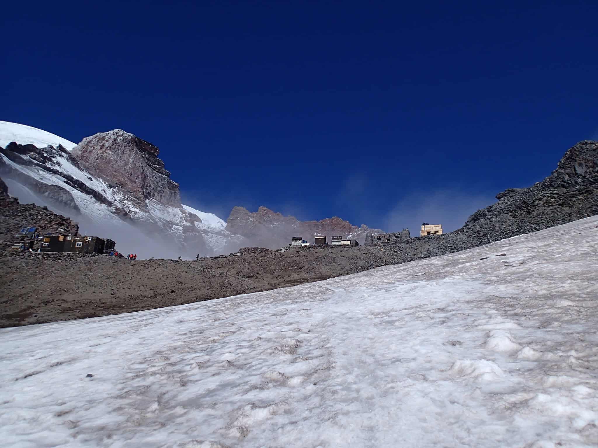
There is another problem with calling the route to Camp Muir a “trail.” Once hikers are on the snowfield, there may be very little resembling one. The National Park Service warns that navigating back toward Paradise during a whiteout can be extremely difficult without the proper map, compass, and navigation skills. Late in the season, melting snow can also expose hard glacier ice and crevasses. This is one of those hikes where turning around because conditions look questionable is not admitting defeat. It is making the right call.
Kalalau Trail: Paradise With No Easy Exit
©"Kalalau Trail day hike to Hanakapiai Beach, Kauai, Hawaii" by Rick McCharles is licensed under BY 2.0. - Original / License
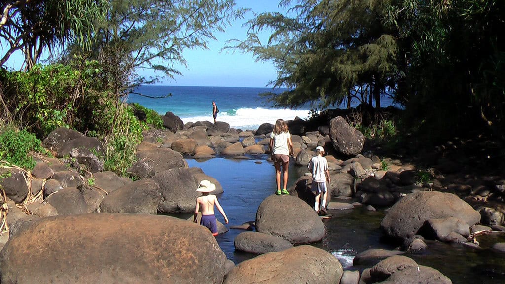
Kauai’s Kalalau Trail follows roughly 11 miles of spectacular Na Pali coastline each way, but the postcard scenery comes with plenty of fine print. Portions of the trail are narrow, muddy, uneven, and bordered by steep drop-offs. Heavy rain can rapidly raise streams, while falling rocks and slippery footing create additional hazards. Cell service is essentially nonexistent along the remote coast, meaning an emergency may not come with a quick rescue. Reservations or permits are also required depending on how far hikers plan to travel, making this one to research carefully long before arriving at the trailhead.
Angels Landing: The Chains Are the Warning
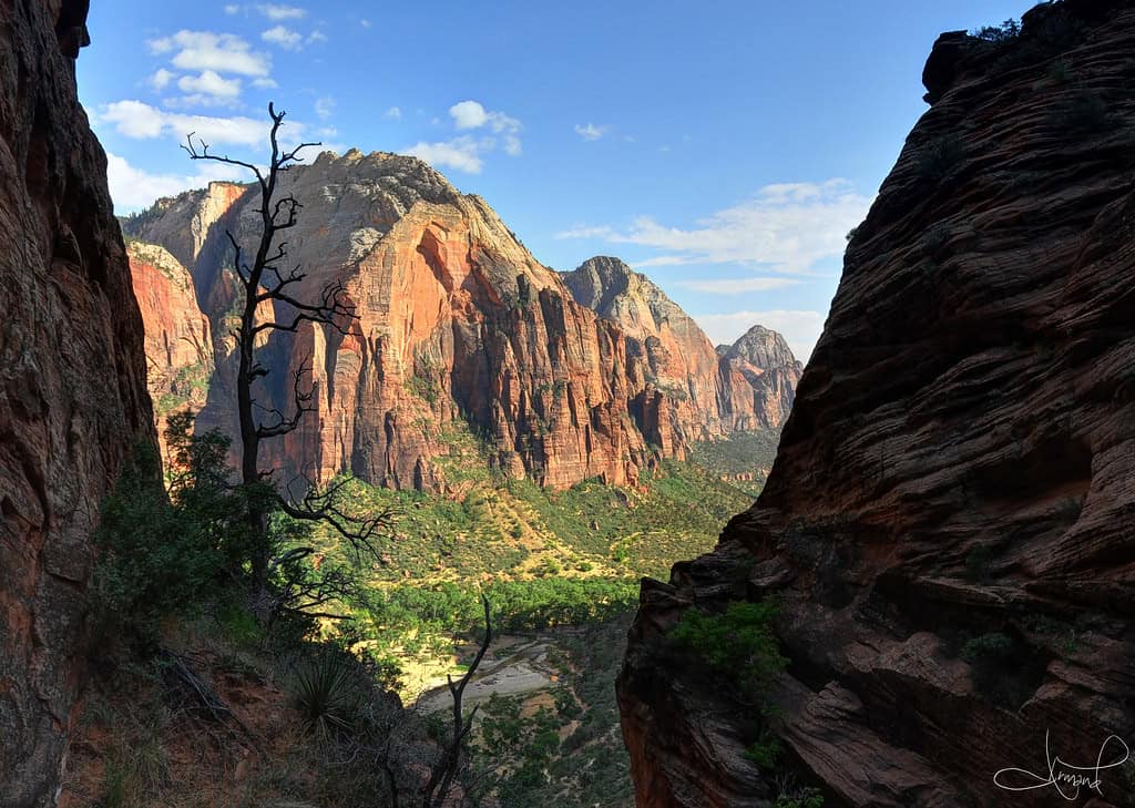
©"Descending Angel's Landing, Zion National Park, Utah" by tsaiproject is licensed under BY 2.0. - Original / License
Zion National Park does not exactly hide what makes Angels Landing intimidating. Near the end of the route, hikers follow a narrow ridge with enormous exposure on either side and use a metal chain for support. A permit is now required to continue beyond Scout Lookout onto the famous chains section. For hikers uncomfortable with heights, Scout Lookout is a perfectly respectable finish line. In fact, the National Park Service specifically suggests it as an alternative for visitors who decide the final ridge is more excitement than they signed up for.
Angels Landing: Wet Rock Changes Everything
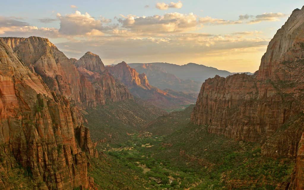
©"Zion Canyon - Angels Landing, Utah" by Trodel is licensed under BY-SA 2.0. - Original / License
The narrow ridge gets most of the attention, but weather can dramatically increase the risk. Zion warns hikers not to continue when the rock is wet or icy and notes that many accidents around the chains happen in wet conditions. Thunderstorms are another reason to turn around rather than trying to beat the weather to the summit. The views across Zion Canyon are spectacular, but there is no photograph waiting at the top that makes ignoring deteriorating conditions worth it.
Grinnell Glacier Trail: Bear Country Gets Real
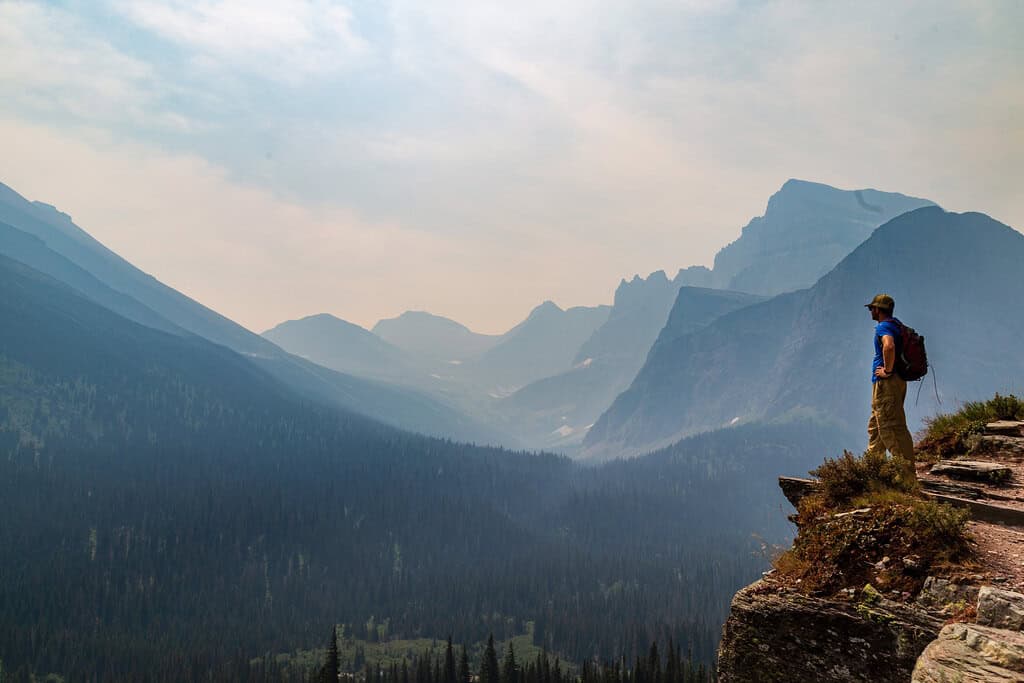
©"Overlook from Grinnell Trail in Glacier National Park" by aparlette is licensed under BY 2.0. - Original / License
Grinnell Glacier Trail delivers exactly the kind of scenery people travel to Glacier National Park hoping to see: towering mountains, turquoise water, waterfalls, snowfields, and wildlife. That final item deserves extra attention. This is active grizzly country. In May 2026, a hiker on the trail suffered a fractured arm during a surprise encounter with a grizzly on a snowfield. The park recommends carrying bear spray, making noise around blind corners and rushing water, and hiking in groups when possible.
Grinnell Glacier Trail: Snow Can Linger Into Summer
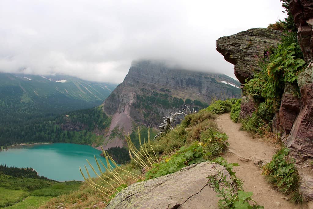
©"Grinnell Glacier lake and the trail" by daveynin is licensed under BY 2.0. - Original / License
Bears are not the only reason hikers need to pay attention here. Glacier’s higher-elevation trails can remain snow-covered well into summer, and conditions sometimes trigger temporary closures. Even after a trail officially opens, isolated snowfields can remain. The National Park Service recommends assessing each crossing individually and being willing to turn around. That advice may feel overly cautious while standing in sunshine, but a steep patch of hard snow is a lousy place to discover that your shoes have almost no traction.
Bright Angel Trail: The Canyon Makes Its Own Rules
©"Grand Canyon Arizona USA - 021 Bright Angel Trail" by WasifMalik is licensed under BY 2.0. - Original / License
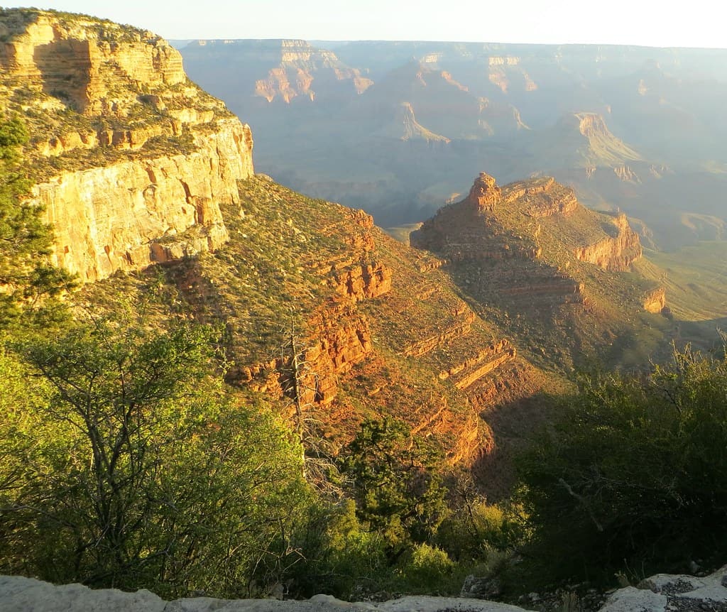
Bright Angel is one of the Grand Canyon’s classic trails, and that popularity can create a dangerous illusion that it is somehow easy. The trail begins with a long descent, which means hikers feel freshest during the part that requires the least effort. Every foot of elevation lost eventually has to be climbed again. Temperatures also increase dramatically as hikers descend into the canyon, making heat illness and dehydration major concerns during warmer months.
Bright Angel Trail: Going Down Is the Easy Part
©"Grand Canyon Arizona USA - 025 Bright Angel Trail" by WasifMalik is licensed under BY 2.0. - Original / License
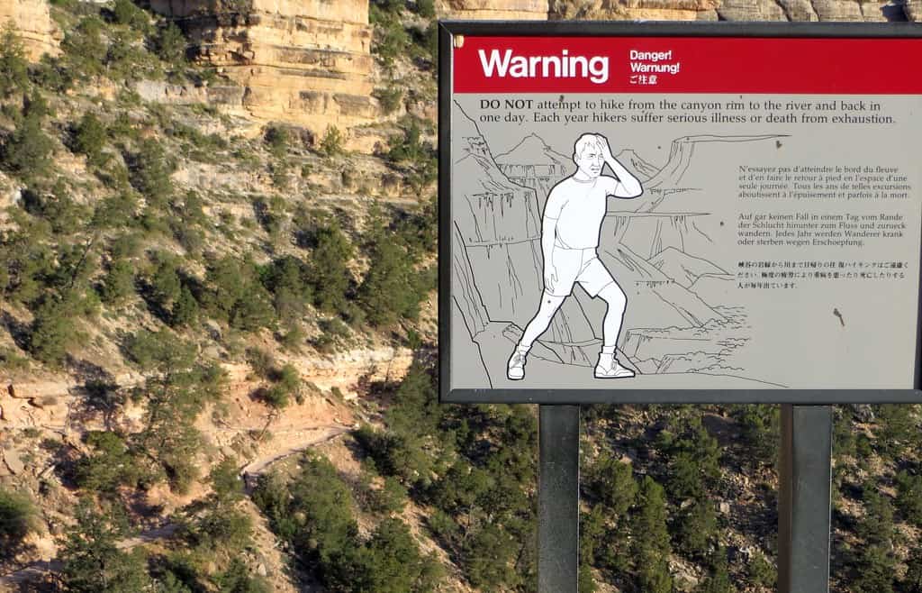
The National Park Service repeatedly warns visitors not to underestimate the climb back to the rim. A hike all the way to the Colorado River involves roughly 5,000 feet of elevation change, and the park does not recommend attempting the river and back as a summer day hike. Conditions and access in the inner canyon can also change after storms and flash floods. Before relying on an old itinerary, hikers should check the park’s current trail, water, and closure information.
Notch Trail: Short Does Not Mean Simple
©"Pinnacles from Notch and Door Trails, Badlands National Park, Wall, SD" by w_lemay is licensed under BY-SA 2.0. - Original / License
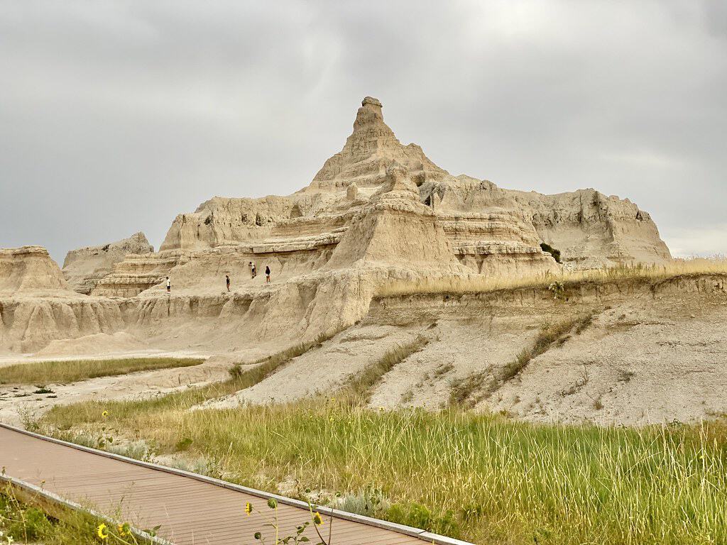
At roughly a mile and a half round trip, the Notch Trail in Badlands National Park does not look intimidating on paper. The terrain tells a different story. Hikers climb a steep log-and-cable ladder before following an exposed ledge through the Badlands formations. Loose gravel, drop-offs, and slippery conditions after rain make the route a poor choice for anyone uncomfortable with heights. In a landscape this exposed, summer heat can also become a problem much faster than the mileage suggests.
Notch Trail: Check the Closure Before You Go
©"side notch" by Christian Collins is licensed under BY-SA 2.0. - Original / License
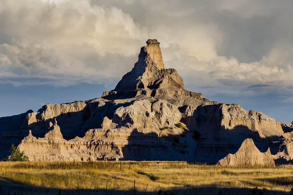
As of October 2026, there is another very good reason not to head onto the Notch Trail: it is closed. Badlands National Park shut the trail and the surrounding area in late August after the ladder became a safety concern, with repairs underway and the closure remaining in effect until further notice. It is a useful reminder for any trail on this list. Conditions can change after an article, guidebook, or social-media post is published, so checking the managing agency’s current alerts should always be part of the trip.
Buckskin Gulch: Flash Floods Are the Real Threat
©"#conservationlands15 Social Media Takeover, June 15th, Bucket List Location Buckskin Gulch" by mypubliclands is licensed under BY 2.0. - Original / License
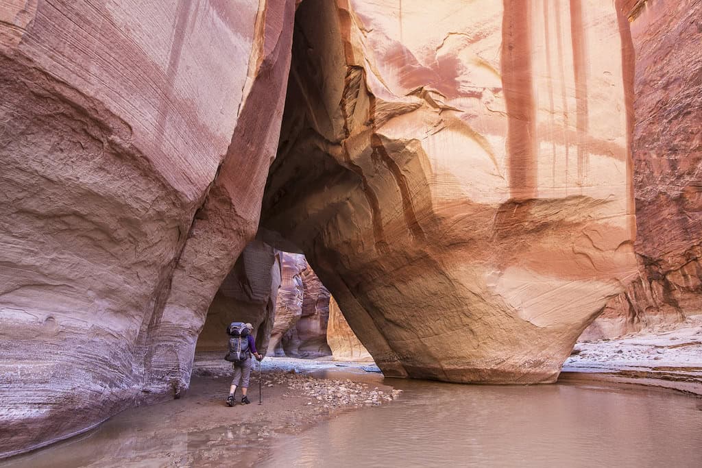
Buckskin Gulch is one of the world’s longest continuous slot canyons, with sandstone walls squeezing hikers into a spectacular corridor for mile after mile. Those same walls are exactly what make the route so unforgiving. Rain does not have to fall directly overhead for water to rush into a slot canyon from storms elsewhere in the watershed. Once a flash flood enters a narrow canyon, high ground may simply not exist.
Buckskin Gulch: There Is No Quick Way Out
©"#conservationlands15 Social Media Takeover, June 15th, Bucket List Location Buckskin Gulch" by mypubliclands is licensed under BY 2.0. - Original / License
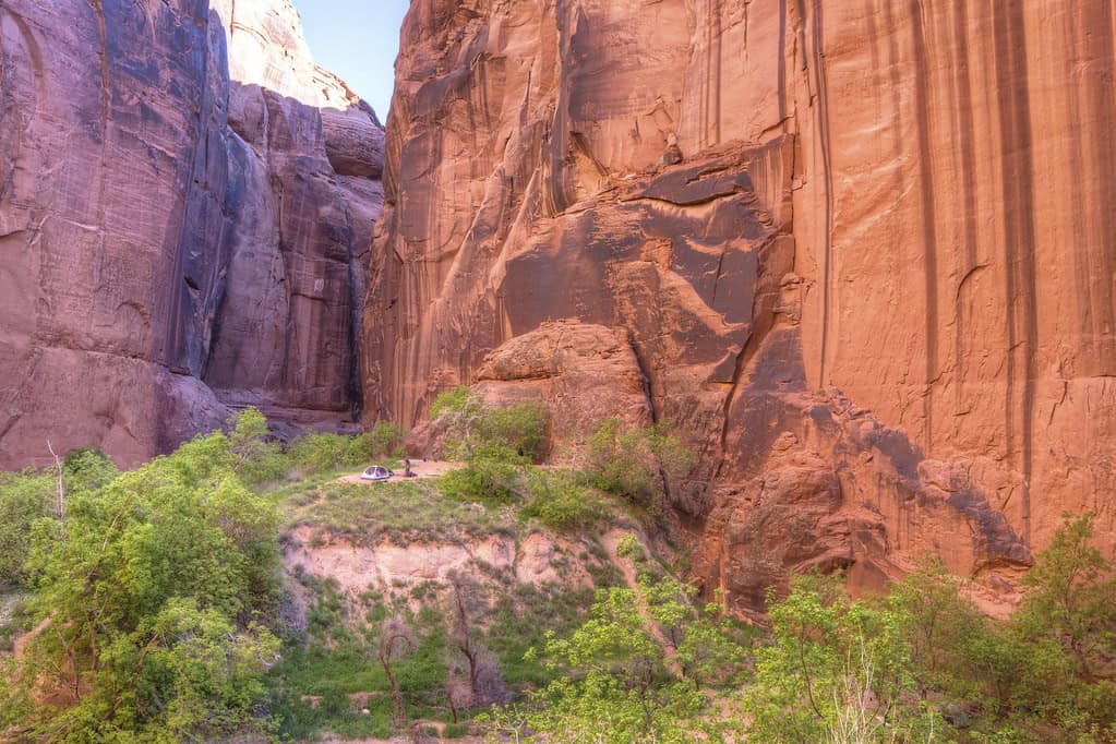
The canyon’s remoteness adds another layer to the challenge. Once hikers are deep inside, simply deciding to leave is not the same thing as walking back to a nearby parking lot. Water, mud, obstacles, navigation, and the sheer length of the canyon all need to be considered before entering. Permits are required for both day use and overnight travel. The scenery is remarkable, but this is the kind of place where checking the weather forecast is part of the safety equipment.
Huckleberry Lookout: Prime Grizzly Country
©"Huckleberry Lookout Trail" by GlacierNPS is licensed under PDM 1.0. - Original / License
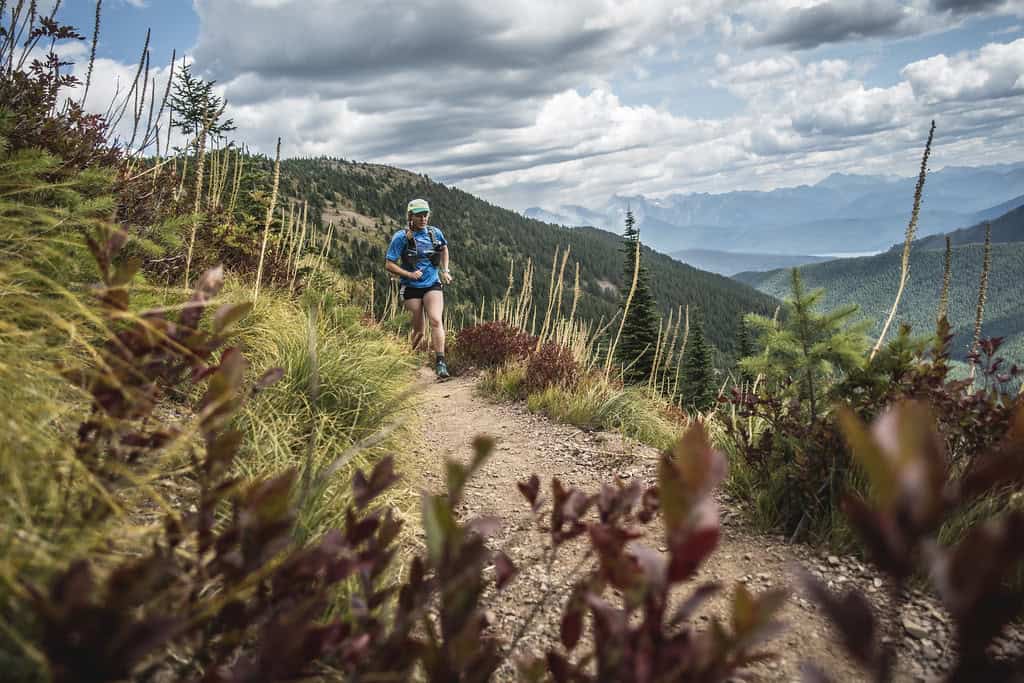
Huckleberry Mountain Lookout sits inside Glacier National Park, which means hikers are traveling through serious bear country. The trail’s name is another clue. Huckleberries are an important seasonal food source for grizzlies and black bears, and berry-covered slopes are exactly the sort of place where hikers need to make their presence known rather than quietly surprising an animal at close range.
Huckleberry Lookout: Bear Awareness Is Part of the Hike
©"Grizzly bear (Ursus arctos ssp.)" by Gregory 'Slobirdr' Smith is licensed under BY-SA 2.0. - Original / License
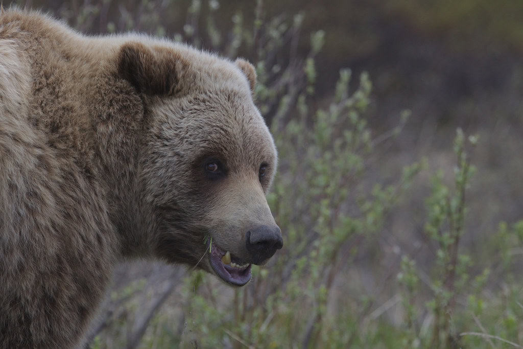
The lesson here is not that bears are lurking behind every tree waiting for hikers. Most encounters end without incident. The important part is behaving as though wildlife actually lives here, because it does. Carry accessible bear spray, make noise around blind corners and thick vegetation, avoid surprising animals, and know what to do if you encounter one. On trails like Huckleberry Lookout, wildlife preparation is every bit as important as bringing enough water.
Half Dome: The Cables Change Everything
©Tyler Meester/Shutterstock.com
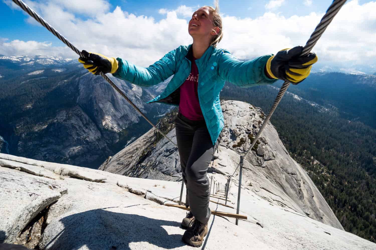
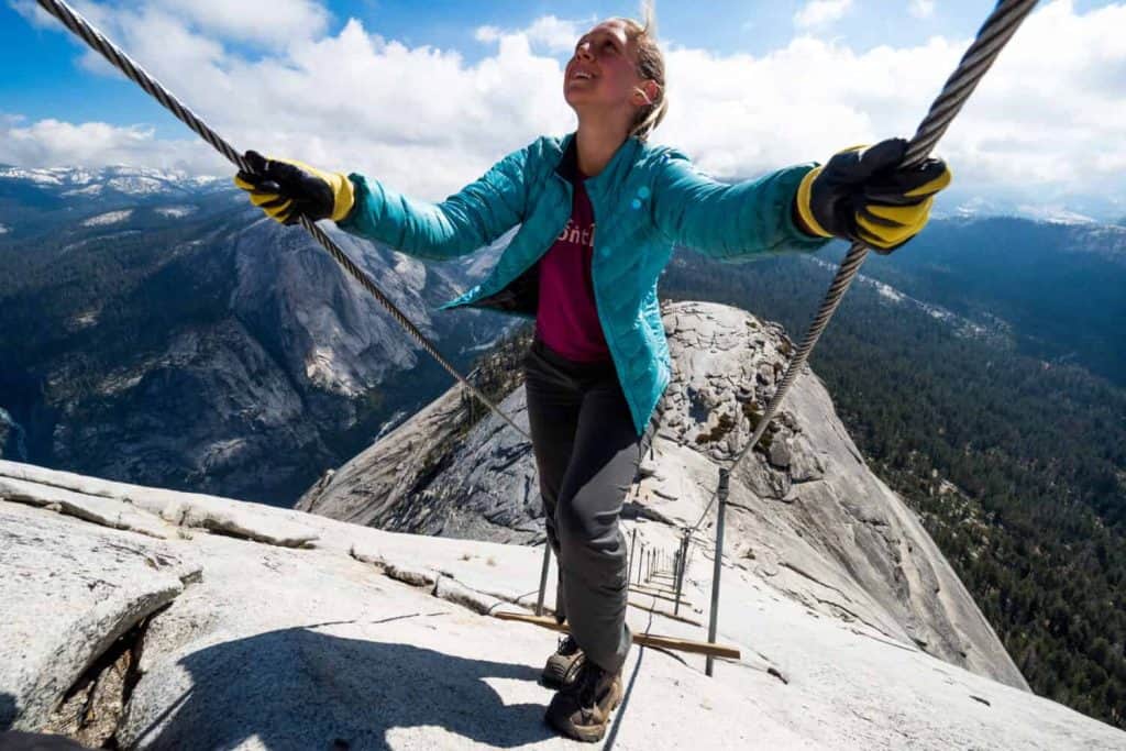
There are plenty of difficult miles before hikers reach Half Dome’s famous cables, but the final ascent is what turns a tough Yosemite hike into something completely different. When the cables are up, hikers pull themselves up a steep slab of granite using two metal cables supported by posts. Yosemite requires permits for this section and limits access beyond the base of the subdome to a maximum of 300 hikers per day, including day hikers and backpackers.
Half Dome: A Permit Does Not Make It Easy
©"Half Dome from Glacier Point, Yosemite NP - Diliff" by Diliff is licensed under BY-SA 3.0. - Original / License
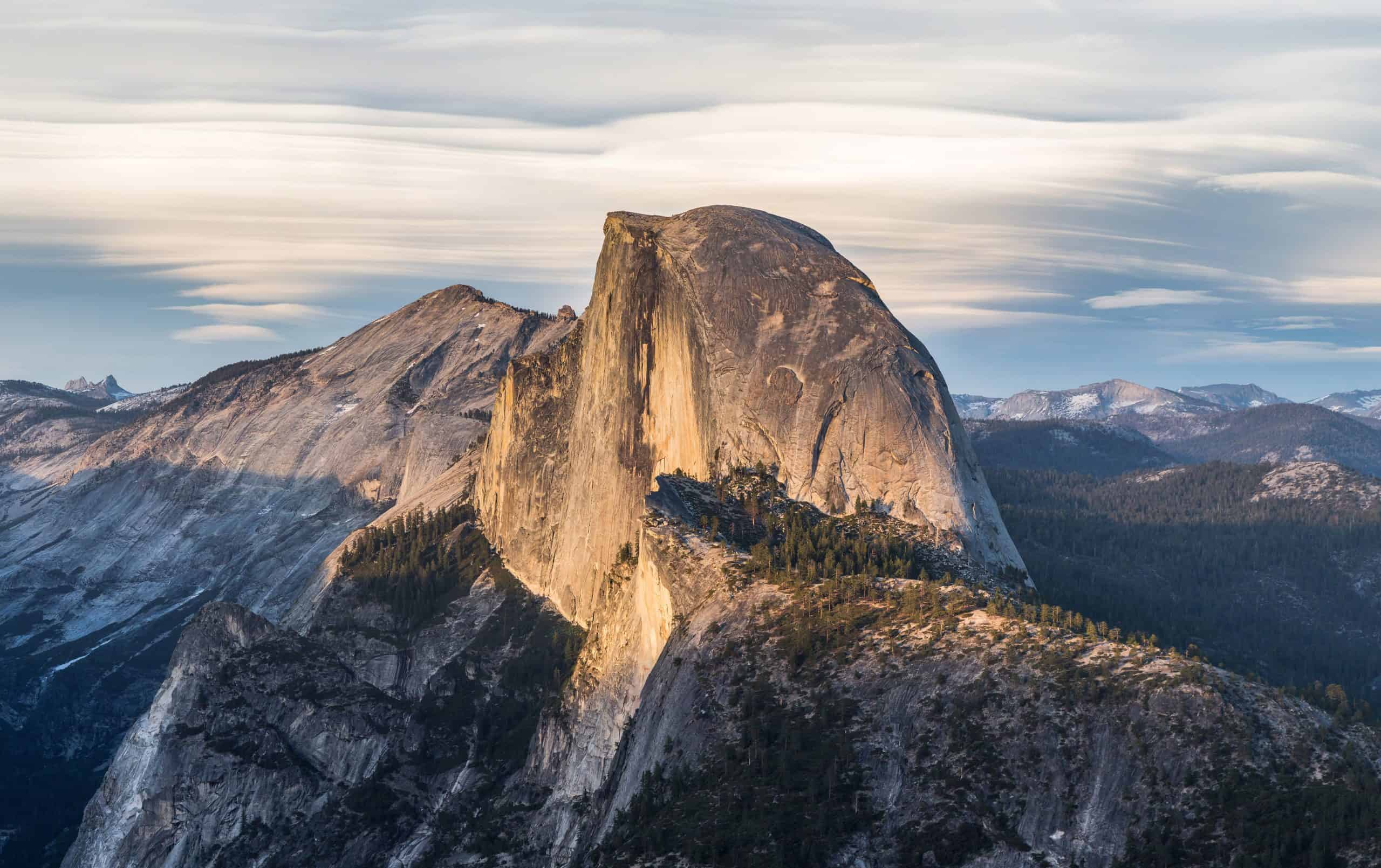
Winning a permit only gets a hiker permission to attempt Half Dome. It does not make the mountain safer or easier. The full outing from Yosemite Valley is long, strenuous, and exposed to heat, altitude, fatigue, and changing weather. Rain is especially concerning on the smooth granite around the cables. The smartest summit decision sometimes happens below the summit, when a hiker recognizes that conditions have moved from challenging to unnecessarily risky.
The Maze: Utah’s Backcountry Earns the Name
©"NL-4818431" by Bluriel's Postcards is licensed under PDM 1.0. - Original / License
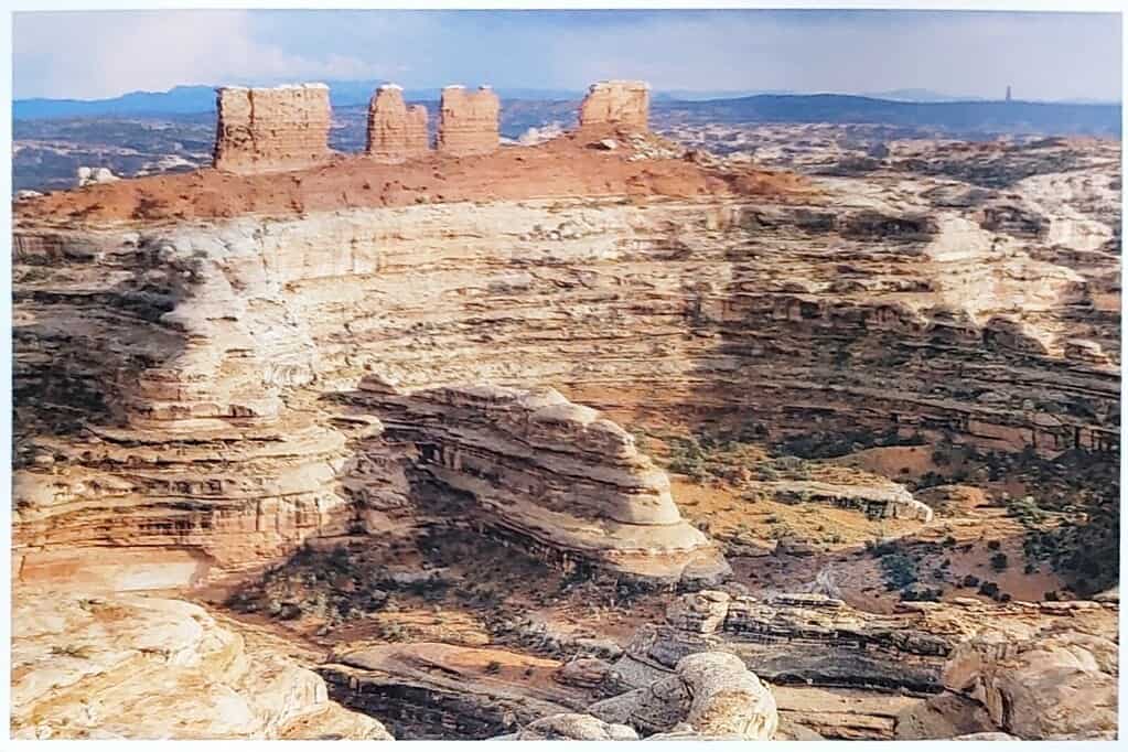
The Maze is not in Maryland, as the original version of this piece stated. It is the most remote district of Canyonlands National Park in Utah, and even reaching the backcountry can be an adventure. The ranger station sits dozens of miles down dirt roads, and roads inside the district require high-clearance four-wheel drive. Once hikers leave the vehicle, primitive routes wind through a landscape where one canyon can look an awful lot like the next.
The Maze: Self-Rescue Is Part of the Plan
©"Maze District from Chesler Park, Needles District Canyonlands National Park." by Ranger Robb is licensed under PDM 1.0. - Original / License
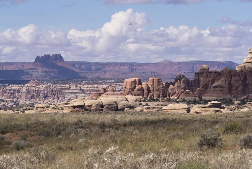
Canyonlands describes The Maze as its least accessible district and warns that backpackers need strong navigation skills and enough equipment to be self-sufficient. That is a very different kind of danger than a narrow ridge with an obvious drop. A sprained ankle, wrong turn, vehicle problem, or shortage of water can become far more serious when reaching help requires hours of travel through remote desert terrain.
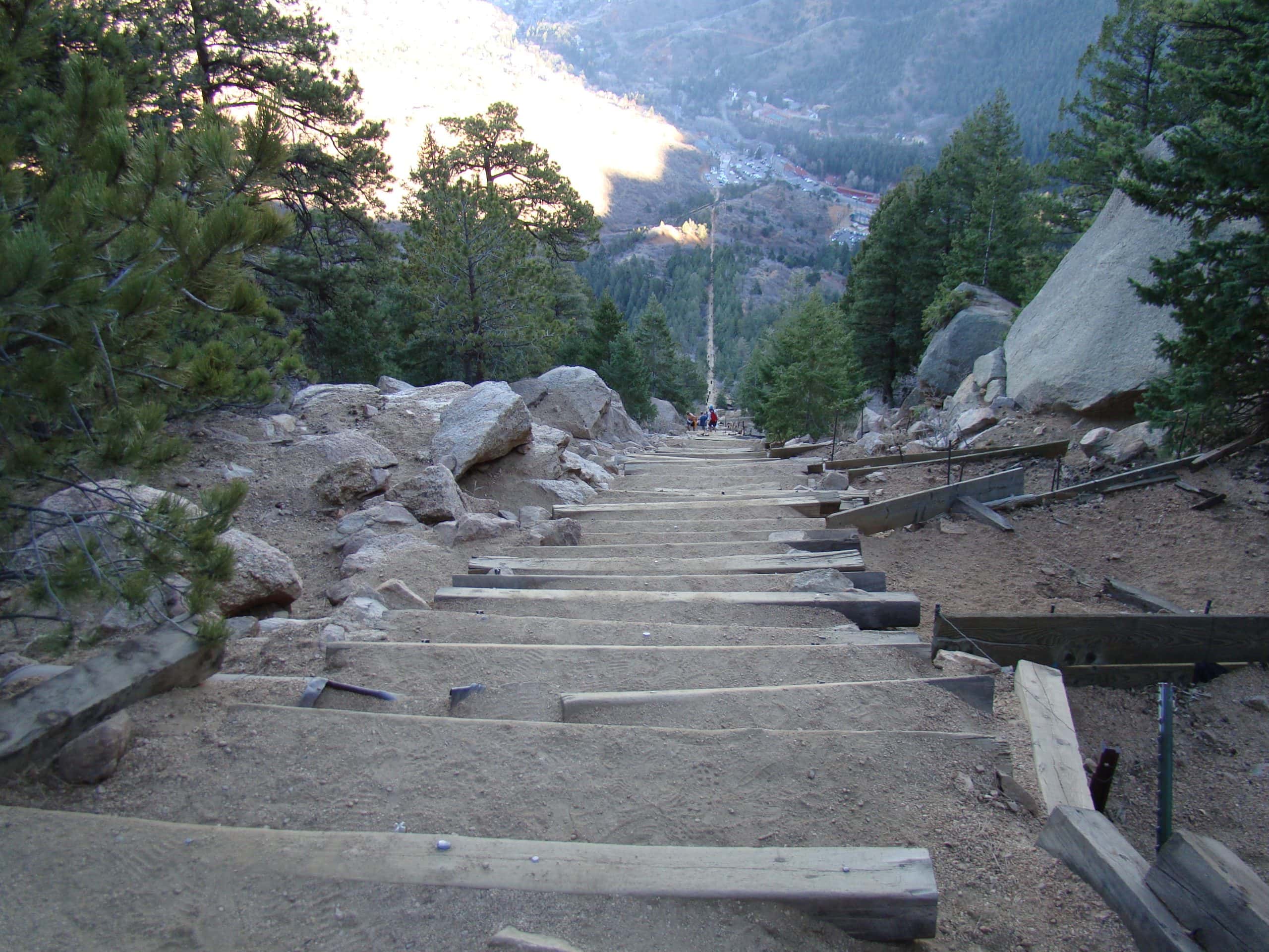
Manitou Incline: 2,768 Steps Straight Up
©"File:The Manitou Incline just before the false summit 21 Nov 12.jpg" by Ahodges7 is licensed under BY-SA 3.0. - Original / License
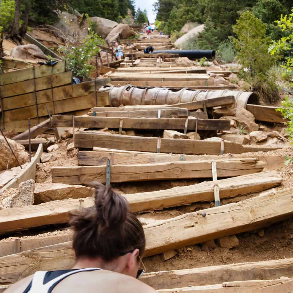
The Manitou Incline near Colorado Springs is proof that mileage can be wildly misleading. The route gains nearly 2,000 vertical feet in less than a mile using 2,768 steps built along the path of an old railway. Sections approach a 68 percent grade. Add Colorado’s elevation to that kind of climb and visitors coming from sea level can discover very quickly that their legs and lungs were not consulted when the vacation itinerary was created.
Manitou Incline: The Downhill Matters Too
©"Climbing the Incline" by ken_kangogo is licensed under BY 2.0. - Original / License
Reaching the final step does not teleport anyone back to the parking lot. Most hikers return using a connecting route to Barr Trail rather than descending the steep stairs themselves. A free timed reservation and waiver are currently required to use the Incline. Weather, ice, dehydration, overexertion, and altitude can all complicate what initially looks like one very large outdoor staircase.
Abrams Falls: The Water Is the Danger
©"Abram Falls - Smokey Mountains" by tsmartin is licensed under BY 2.0. - Original / License
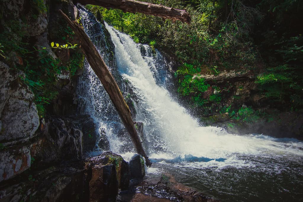
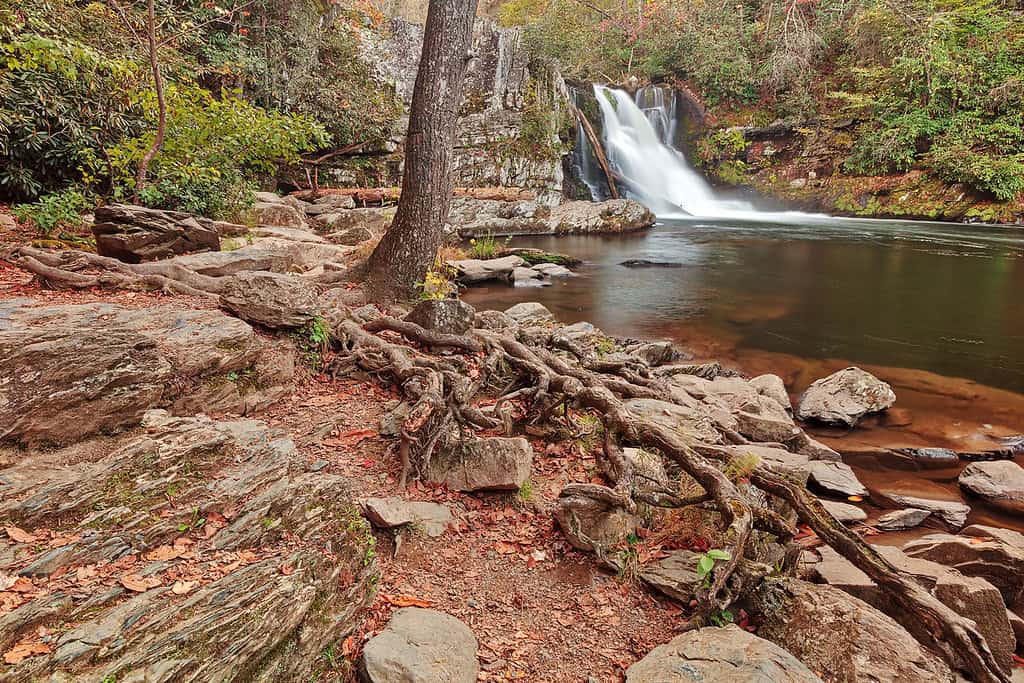
Abrams Falls in Great Smoky Mountains National Park is a good example of a hike where the biggest hazard waits at the destination. The trail itself is a roughly 5-mile round trip through forest to a beautiful 25-foot waterfall. The waterfall’s height is not especially dramatic, but the volume of water pouring into the pool below creates powerful currents that are far more dangerous than they may appear from shore.
Abrams Falls: Admire the Pool From Shore
©"Rugged Abrams Falls" by Bold Frontiers is licensed under BY 2.0. - Original / License
The National Park Service strongly discourages swimming at Abrams Falls because of the dangerous undertow and slippery rocks around the pool. That matters because calm-looking water beneath a waterfall can be deceptively inviting after a warm hike. This is one destination where the safest way to enjoy the payoff is also the easiest: find a good viewpoint, take the picture, and stay out of the water.
Presidential Traverse: Weather Can Win Fast
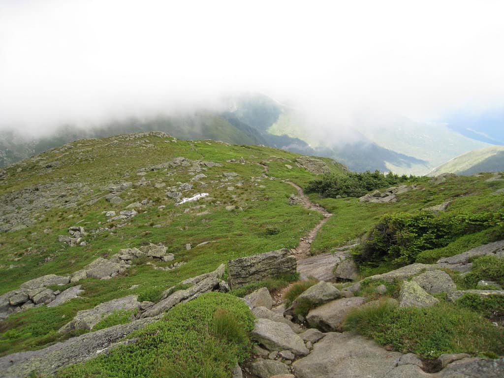
©"Presidential Traverse" by jfdervin is licensed under BY-SA 2.0. - Original / License
The Presidential Traverse in New Hampshire’s White Mountains can stretch roughly 20 miles or more depending on the exact route, with somewhere around 9,000 feet of cumulative climbing on common versions. That alone makes it a major endurance challenge. The bigger wildcard is weather. Much of the route travels above tree line through the Presidential Range, including the notoriously volatile area around Mount Washington. Sunshine at the trailhead should never be mistaken for a guarantee of pleasant conditions several thousand feet higher.
Rover’s Run: An Urban Trail in Bear Country
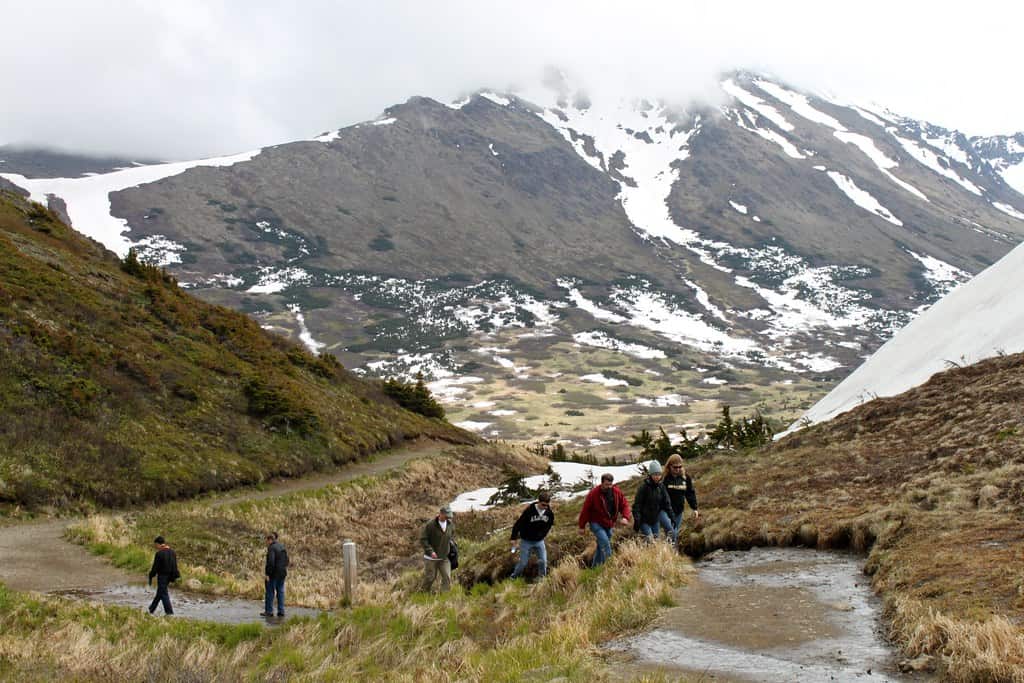
©"Anchorage: Hiking Around Flattop Mountain" by eliduke is licensed under BY-SA 2.0. - Original / License
Rover’s Run provides a very Alaskan reminder that a trail does not need to be hundreds of miles from civilization to intersect with serious wildlife. Located within Anchorage’s Far North Bicentennial Park system, the route runs near Campbell Creek, an area used by bears. Previous bear encounters along the creek became concerning enough that officials pursued changes to the route and have periodically restricted access. Anyone using trails in this area should pay attention to current bear notices instead of assuming that being inside Anchorage makes it ordinary city-park hiking.
Devil’s Path: The Catskills Do Not Go Easy
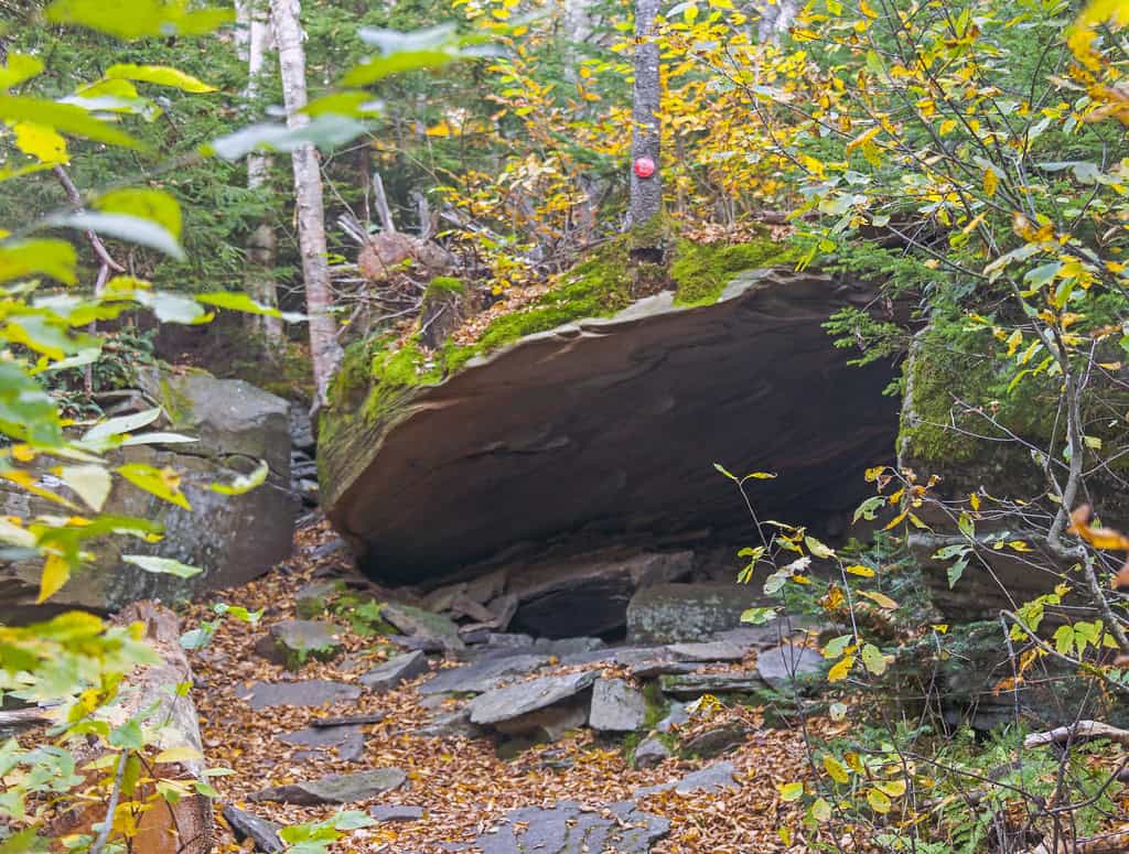
©"Cave on Devil's Path, West Kill Mountain, Spruceton, NY" by Daniel Case is licensed under BY-SA 2.0. - Original / License
The Catskills may not have the elevations of the Rockies or Cascades, but Devil’s Path demonstrates why elevation alone is a terrible way to judge a hike. The full traverse stretches for more than 20 miles and repeatedly sends hikers steeply up and down the mountains instead of politely routing around them. Rock scrambles, ledges, roots, mud, and wet stone can make progress far slower than the mileage suggests.
Devil’s Path: Relentless Climbs Add Up
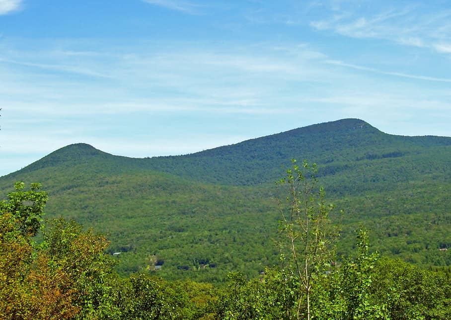
©"Kaaterskill High Peak" by Daniel Case is licensed under BY-SA 3.0. - Original / License
What makes Devil’s Path particularly punishing is the repetition. A hiker can finish one steep descent only to look up and realize the route immediately starts climbing again. Completing the whole thing in a day demands serious fitness, while wet weather can turn rock slabs and roots into a completely different challenge. There is a reason experienced Northeastern hikers tend to talk about this trail with equal parts affection and mild trauma.
Barr Trail: Pikes Peak the Hard Way
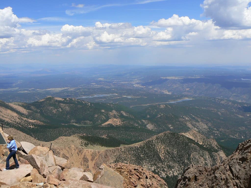
©"View from the top pikes pike's peak colorado springs manitou springs co usa looking towards Kansas" by Tim Pearce, Los Gatos is licensed under BY 2.0. - Original / License
Barr Trail gives hikers the long way to the summit of Pikes Peak. From Manitou Springs to the top, the route covers about 12.6 miles one way while gaining roughly 7,500 feet of elevation. That means hikers who start in relatively comfortable foothill conditions can end up above 14,000 feet in a much colder and more exposed environment. The distance, altitude, afternoon storms, and enormous elevation gain make this a route that rewards conservative pacing and an early start.
Denali: This Is Mountaineering, Not a Hike
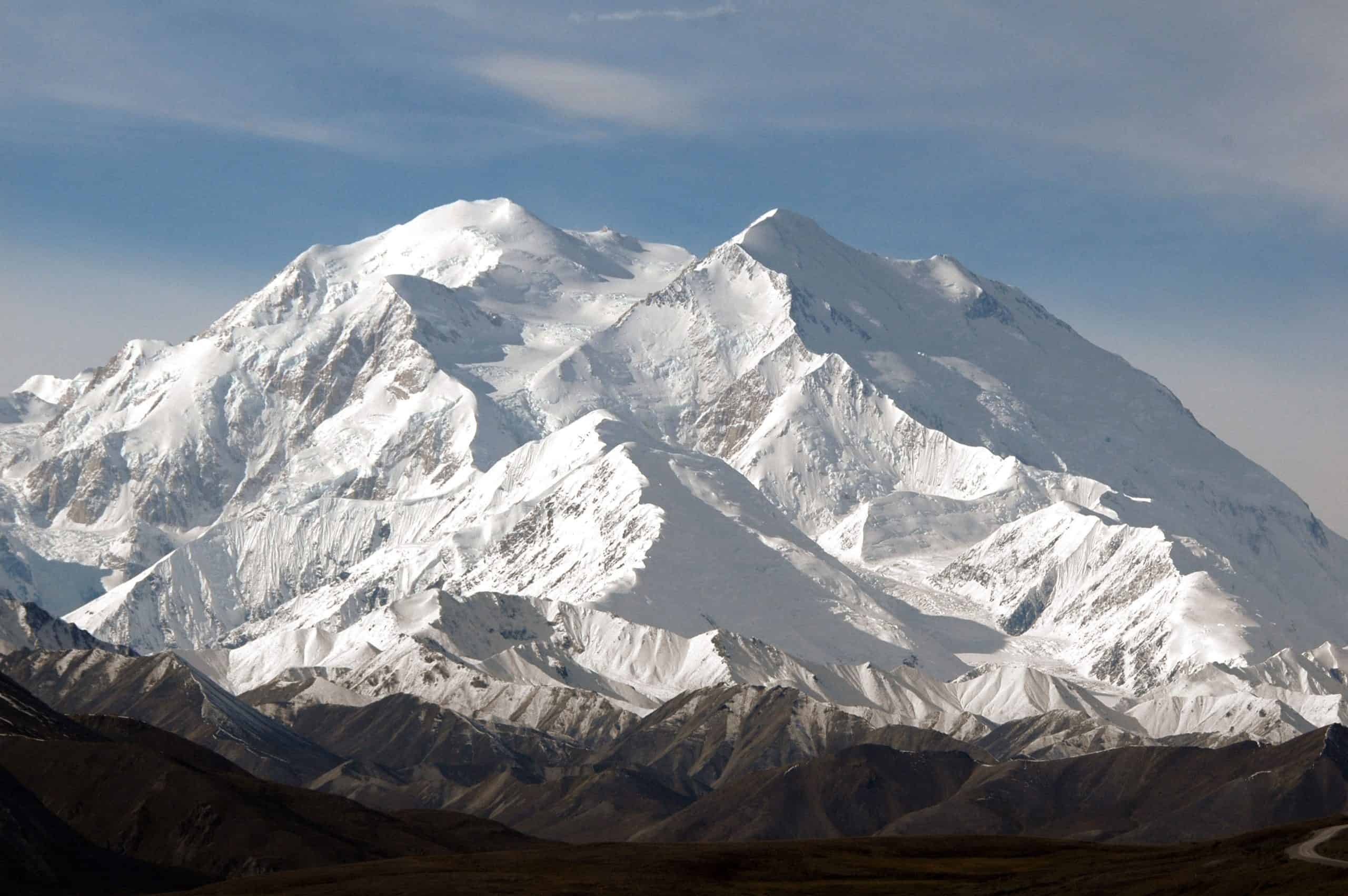
©"Mount Mc Kinley 6193 m (Denali = Indian for 'the Great') from the Denali Visitors Center in August 2006 by my son Bas on his second trip to Alaska - panoramio" by Henk Monster is licensed under BY 3.0. - Original / License
Denali belongs at the extreme end of this list with one important clarification: attempting the summit is a mountaineering expedition, not an ordinary hiking trip. The mountain rises to more than 20,000 feet and exposes climbers to glaciers, crevasses, avalanches, extreme cold, severe weather, falls, and high-altitude illness. Search-and-rescue missions remain a regular part of climbing seasons here, and multiple climbers lost their lives during the 2026 West Buttress season alone. It is magnificent, but this is not a place where determination can substitute for experience, equipment, acclimatization, and judgment.

