
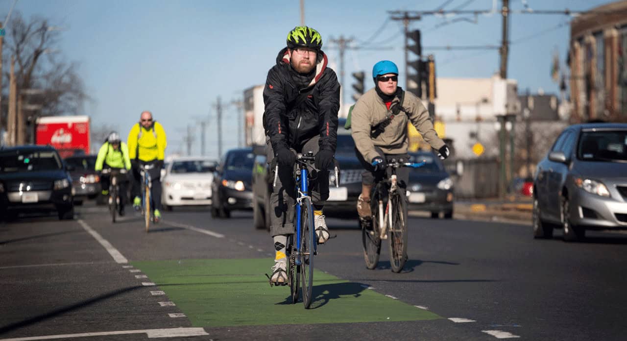
The Pacific Northwest has some incredible places to explore on two wheels. Unfortunately, not every road is particularly welcoming to cyclists. Between winding coastal highways, narrow bridges, steep mountain roads, and busy city streets, some routes leave very little room for mistakes.
And while a beautiful stretch of highway might look perfect for an afternoon ride, the reality can change quickly when traffic picks up or the shoulder disappears altogether.
From Washington and Oregon to Idaho, we’re examining 12 roads and road segments with documented safety concerns, including routes identified by transportation officials as high-crash corridors. These aren’t ranked by cyclist fatalities, but each presents hazards worth understanding before heading out.
Rainier Avenue South (Seattle, Washington)
©"Seattle hills" by chrisostermann is licensed under BY 2.0. - Original / License
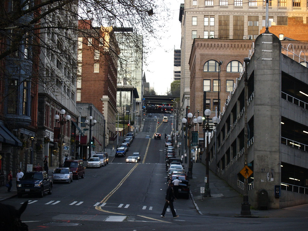
Rainier Avenue South is one of Seattle’s main routes through the Rainier Valley, carrying buses, deliveries, commuters, and people trying to get around by bike. It also has a troubling crash history. The Seattle Department of Transportation says the corridor recorded nearly 3,600 collisions from 2005 through 2014, a figure covering all road users. Some stretches have since been redesigned, but the safety concerns did not simply disappear. In a 2026 project update, SDOT reported 136 crashes between 2021 and 2025 on the Rainier Beach segment from South Henderson Street to Ithaca Place South, including six serious injuries. That figure is not a cyclist-only count. The street remains a demanding mix of turning traffic, intersections, transit stops, and limited space. SDOT says bike lanes are not currently planned along its Rainier Avenue South bus-priority corridor. If you are mapping a ride through the neighborhood, a quieter parallel connection may be worth a few extra blocks.
Aurora Avenue North (Seattle, Washington)
©"2017-06-13 10 11 06 View north along Virginia State Route 99 (Main Street) at Newbern Road in Pulaski, Pulaski County, Virginia" by Famartin is licensed under BY-SA 4.0. - Original / License
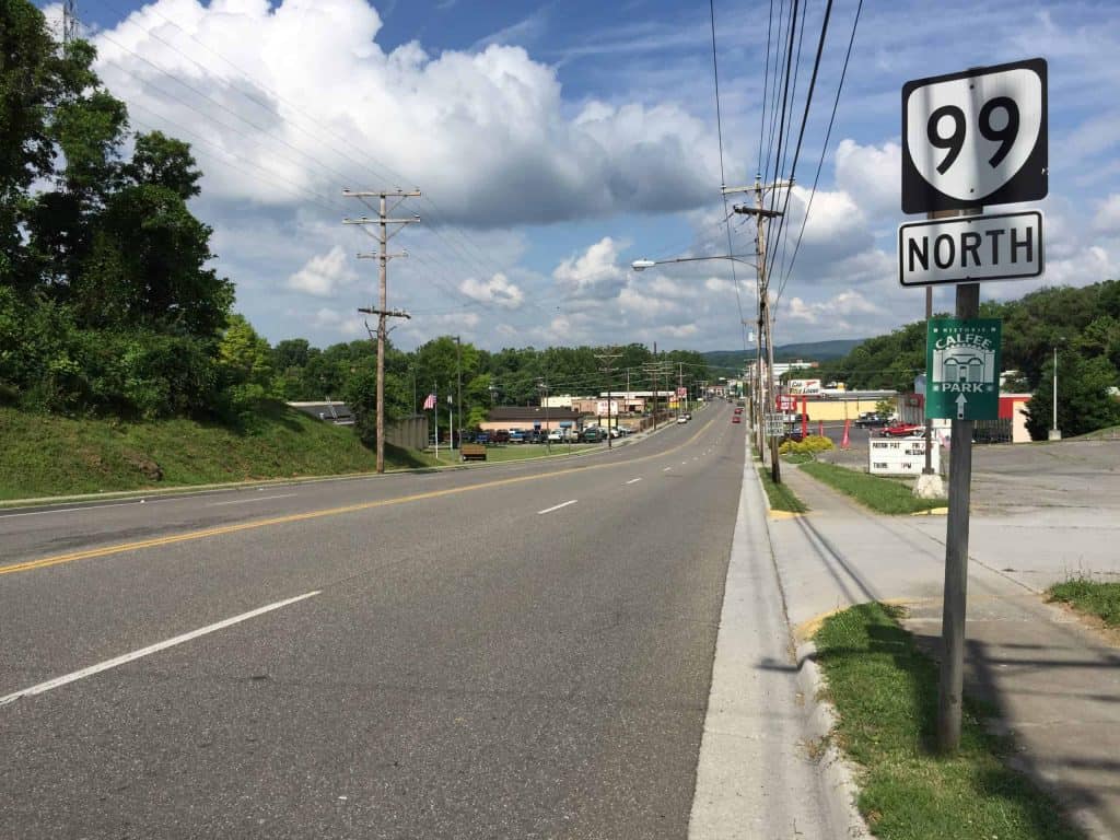
Aurora Avenue North, also known as State Route 99, is not the kind of road that invites a leisurely spin. It is a major Seattle route for vehicles, freight, and the RapidRide E Line, and people on bicycles still need to reach businesses and cross it. In an October 2026 update, SDOT described Aurora as a top safety priority because of its high rates of fatal and serious crashes, particularly those involving people walking. That does not establish a cyclist-specific danger ranking, but it does explain the attention the corridor receives. The challenge for a rider is the combination of busy traffic, major intersections, access to roadside businesses, and gaps in comfortable connections. Seattle is studying where dedicated bicycle facilities belong on Aurora and where parallel routes with safe crossings make more sense. That is an important distinction: the city is still working through the options rather than claiming the corridor already has a seamless bike route. For cyclists, crossing Aurora thoughtfully may be as important as deciding whether to ride along it.
South Jackson Street (Seattle, Washington)
©"King Street Station & the Jackson St. Band location of Seattle's Rock'n'Roll Marathon" by Gordon Werner is licensed under BY-SA 2.0. - Original / License
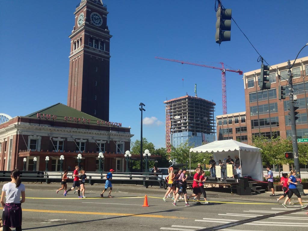
South Jackson Street runs through Pioneer Square, Chinatown-International District, and Little Saigon, three places that are a lot more enjoyable to visit when you are not thinking about your front tire. Seattle has identified the stretch between Alaskan Way and Rainier Avenue South as a Vision Zero safety corridor, citing a high number of crashes, including serious ones. The city began planning further safety treatments in 2026. There is also a complication you do not encounter on every busy street: sections of Jackson carry the First Hill Streetcar. Embedded rail grooves can catch a bicycle tire, especially when the tracks are crossed at a shallow angle, and wet rails can be slippery. Seattle’s streetcar safety guidance tells cyclists to cross tracks at a right angle, use bike facilities where available, and consider walking a bicycle across wet or icy tracks. Between turning vehicles, streetcar rails, and busy intersections, Jackson deserves a deliberate route choice rather than a casual shortcut.
Deception Pass Bridge, State Route 20 (Washington)
©"Deception Pass Bridge Washington State" by PatrickMcNallyMolokai is licensed under BY 2.0. - Original / License
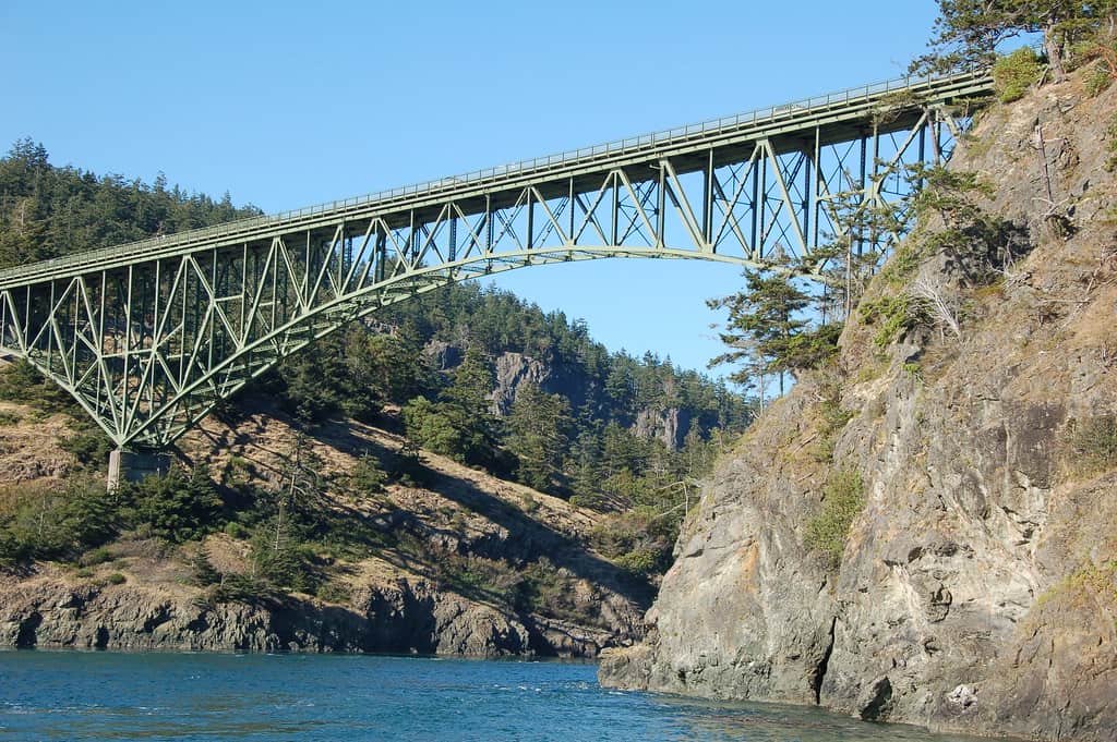
The view from Deception Pass Bridge is hard to beat. The space available to cyclists is another story. The State Route 20 crossing between Whidbey and Fidalgo islands has narrow traffic lanes and a confined pedestrian walkway. A Washington State Department of Transportation report describes 11-foot travel lanes beside a four-foot walkway, with no shoulder between them. Drivers and riders share a crossing where there is little room to improvise. That does not mean the bridge is structurally unsafe. WSDOT has said it is safe for motorists, pedestrians, and cyclists, while also urging travelers to account for wind, rain, and limited space. In 2026 reporting, cyclists described discomfort with close vehicle traffic on the bridge. The approach, the bridge itself, and the weather all deserve attention. If crossing on foot with your bicycle is the more comfortable option, be considerate of pedestrians on the narrow walkway and follow posted guidance.
North Division Street (Spokane, Washington)
©"Downtown Spokane WA" by SportSuburban is licensed under BY 2.0. - Original / License
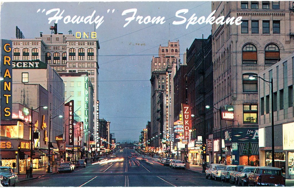
North Division Street gets people across Spokane, but its role as a major traffic artery creates real challenges for those outside a vehicle. The City of Spokane describes Division as one of its busiest corridors, with roughly 50,000 cars a day. A city existing-conditions report also documented 24 crashes involving people walking or biking that resulted in a death or serious injury along the corridor. That is a combined pedestrian-and-bicycle figure, not 24 cycling crashes. The danger is not limited to riding in the same direction as traffic. Crossing an expansive, vehicle-heavy road can be its own challenge. Spokane police reported a fatal collision in 2018 involving a person trying to cross North Division on a bicycle, prompting a traffic-enforcement effort. City planning now emphasizes better bike connections and safer crossings, but cyclists should still approach Division as a major arterial, not a neighborhood greenway. An extra block to a controlled crossing can be a sensible trade.
82nd Avenue (Portland, Oregon)
©"The Unipiper entertaining a crowd gathered in front of the Bagdad Theater in Portland, Oregon" by Sarah Kidd is licensed under BY-SA 4.0. - Original / License
Portland’s 82nd Avenue is proof that a street can be an essential neighborhood connection and still be difficult to navigate by bicycle. It carries cars, trucks, and buses past a long string of businesses and intersections. The Portland Bureau of Transportation identifies it as one of the city’s high-crash corridors, with multiple intersections appearing in the agency’s safety analysis. The concerns extend to people trying to bike across the street, not just riders traveling along it. Portland is not ignoring the problem. The Building a Better 82nd project was still delivering crossing, signal, paving, and bicycle safety upgrades in October 2026. The newer markings and crossings are meaningful progress, but work zones and changing traffic patterns require attention, too. For a cyclist, the big questions are where to cross, how turning drivers behave, and whether the next connection actually leads to a comfortable route. Familiarity with the area is helpful; assuming every intersection works the same way is not.
Southeast Powell Boulevard (Portland, Oregon)
©"Deadheading buses in I-5 traffic" by SounderBruce is licensed under BY-SA 2.0. - Original / License
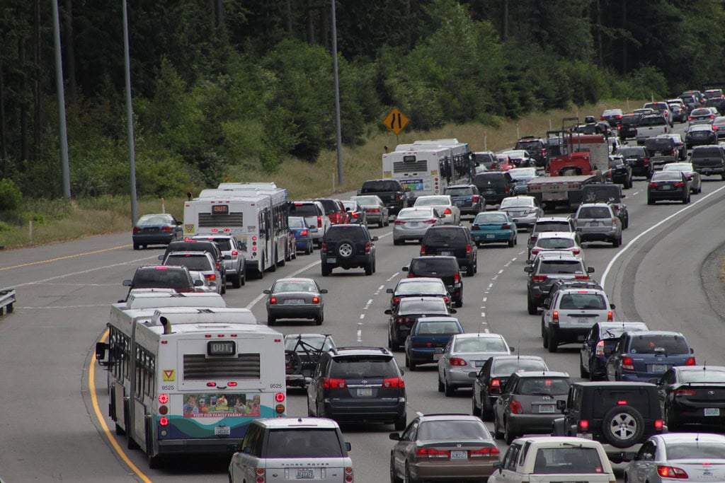
Southeast Powell Boulevard is also U.S. Route 26, a major east-west highway running through Portland neighborhoods. It is on the city’s High Crash Network for people biking as well as for other road users. PBOT’s analysis of 2020 through 2024 collisions placed Powell Boulevard and 92nd Avenue among its highest-concern bicycle intersections, recording four bike-involved crashes there during that period, including one serious injury. That is an intersection-specific figure, not a total for the boulevard. Powell is a useful example of why cycling risk is not only about a long stretch without a bike lane. Intersections, turning movements, crossings, and the speed of surrounding traffic can matter just as much. The Oregon Department of Transportation has been preparing targeted safety improvements near Southeast 67th Avenue and between 80th and 82nd avenues for people walking, biking, and rolling. Check current construction conditions before riding. Where a quieter street or designated bikeway gets you to the same destination, it may be the easier choice.
Southwest Barbur Boulevard (Portland, Oregon)
©"Northeast Portland homeless camp tents" by Graywalls is licensed under BY-SA 4.0. - Original / License
Southwest Barbur Boulevard, part of Oregon Route 99W, can feel like a different road from one section to the next. It connects Portland neighborhoods with heavier through traffic, and its wooded stretches and intersections are not automatically a relaxing bicycle route. Portland places Barbur on its High Crash Network for crashes involving cyclists. Earlier city planning also identified bicycle pinch points at the Vermont and Newberry viaducts, where riders had faced limited space alongside traffic. There have been improvements. In 2025, the city opened a protected bike connection into downtown from the northbound Barbur approach. Other parts of the corridor still warrant careful route planning, and ODOT has proposed additional crossing work near Southwest 26th Way. The practical lesson is to check the exact stretch, not just the street name. A comfortable downtown connection does not tell you what conditions will look like farther south, especially around ramps, intersections, and faster traffic.
122nd Avenue (Portland, Oregon)
©"Chicago - traffic on Michigan Ave" by ruffin_ready is licensed under BY 2.0. - Original / License
East Portland’s 122nd Avenue is a north-south arterial that has long been singled out in the city’s traffic safety work. According to PBOT, the entire corridor has been designated a high-crash street for people driving, walking, and biking. An older city crash study identified vehicle turning conflicts and driveways as recurring problems for cyclists. Those findings describe the crash patterns studied at the time; they are not a claim about the current annual collision rate. Bike lanes exist on parts of 122nd, but painted space alone does not remove every conflict at an intersection. A rider still needs to watch for vehicles turning across the bike lane and entering or leaving driveways. Portland has been improving the corridor, including work at Northeast 122nd and Halsey to separate right-turning vehicles from people walking and biking. That is good news. Until all the connections work together, though, choosing a safe place to cross or turn is just as important as having somewhere to pedal between intersections.
U.S. Highway 101 at Arch Cape Tunnel (Oregon)
©Bob Pool/Shutterstock.com
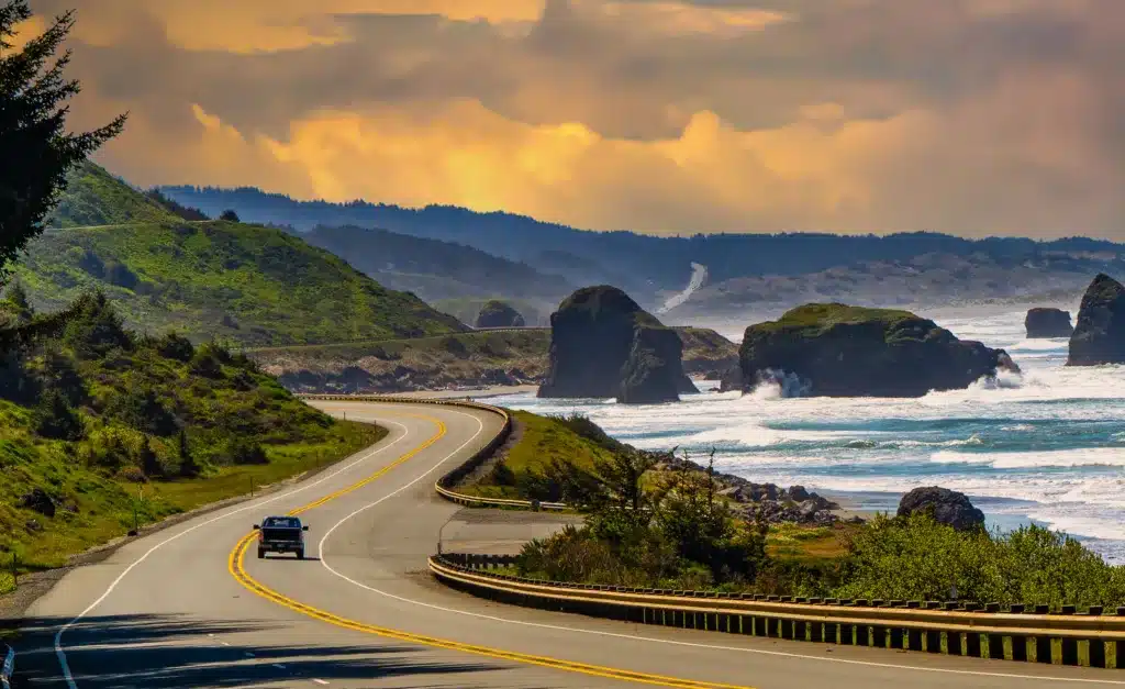
Riding the Oregon coast sounds ideal until the highway squeezes into a tunnel and the room around your handlebars suddenly feels a lot smaller. The Arch Cape Tunnel is on U.S. 101 near the northern Oregon coast, along the state’s official coast bicycle route. The Oregon Department of Transportation warns that portions of the route have narrow shoulders and that tunnels require special caution. That is why tunnel approaches have push-button bicycle warning lights to alert drivers that a rider is entering.On a clear day, this is memorable coastal cycling. In fog, heavy traffic, or poor visibility, the experience can be very different. Adventure Cycling specifically notes the Arch Cape tunnel beacon and cautions riders about tourist and truck traffic on U.S. 101. Activate the warning light before entering, confirm that it is operating, and plan around weather and traffic. The tunnel is a named pinch point, not a claim that every mile of the Oregon coast highway is equally hazardous.
U.S. Highway 101 at Yaquina Bay Bridge (Newport, Oregon)
©"Yaquina Bay Bridge, Newport, Oregon" by Bonnie Moreland (free images) is licensed under CC0 1.0. - Original / License
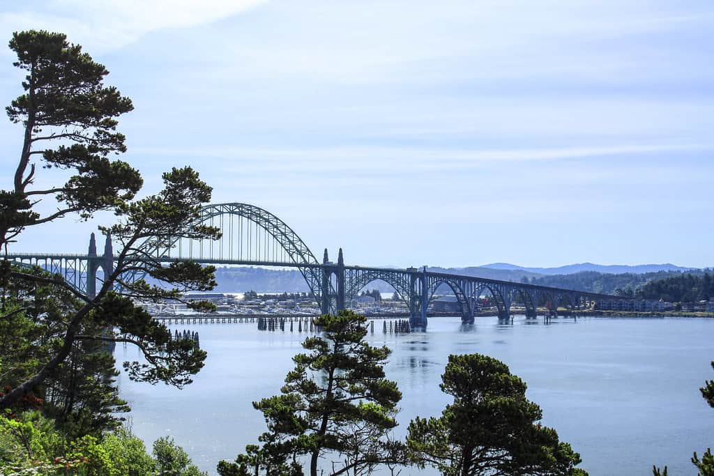
Another stretch of the Oregon Coast Bike Route deserves its own warning: the Yaquina Bay Bridge in Newport. It may be one of the coast’s most recognizable crossings, but cyclists do not get a roomy protected path across it. In its coast bike route planning materials, ODOT described a crossing with two traffic lanes and no roadway shoulder or bike lane for more than half a mile. Riders could use the travel lane or walk bicycles on a narrow sidewalk, according to that guidance.The state’s current coast bike route guidance also identifies a bicycle-activated warning light at the bridge, intended to alert drivers to riders crossing. Wind is another concern on exposed coastal bridges. This is not a reason to skip Newport, but it is a reason to decide how you will cross before reaching the bridge. Use the warning system as directed, account for pedestrian space, and resist the temptation to treat the views as more important than the traffic beside you.
State Highway 55 (Southwestern Idaho)
©Amehime/Shutterstock.com
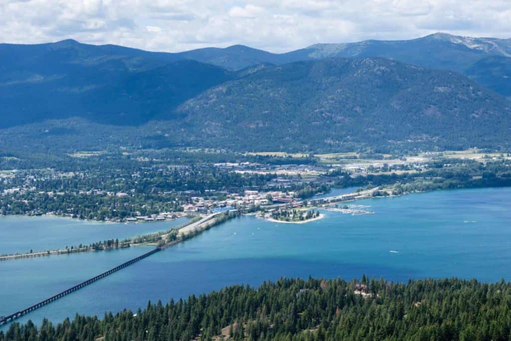
Idaho State Highway 55 passes through some beautiful country between the Boise area and McCall, including stretches of the Payette River canyon. For someone considering a bicycle ride, though, scenery is only half the equation. In a June 2025 warning, Idaho State Police described sharp curves, steep embankments, narrow shoulders, and limited passing opportunities. The agency also warned about increased summer traffic and serious vehicle crashes. It did not say those crashes were specifically bicycle collisions.Those road characteristics create an obvious concern for cyclists: a narrow shoulder and a blind bend leave little space when vehicles approach from behind. Add recreational traffic, large vehicles, and variable conditions, and this is not a route to select from a scenic photo alone. Idaho State Police also advised planning ahead for places with limited cell coverage. Anyone considering cycling part of Highway 55 should review the exact segment, traffic conditions, available shoulders, and possible alternatives before setting out. A highway can be breathtaking and still be a poor fit for a casual ride.

