
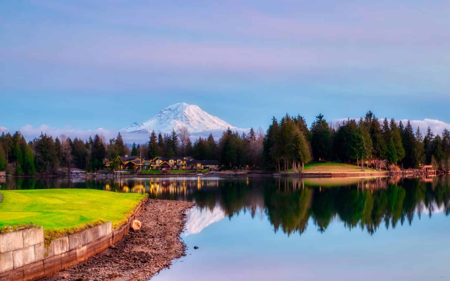
On Mount Rainier, the snow-capped volcanic peak announces itself from several miles away. It can be seen from Seattle and Portland when the weather is good, and the closer you get, the more imposing the mountain becomes.
There are several options for camping, from campgrounds with full facilities within walking distance of the popular trailheads to dispersed free camping around the national park and backcountry camps, where only the sounds the mountain itself makes can be heard. These are 10 of the best camping spots near Mount Rainier.
Cougar Rock Campground
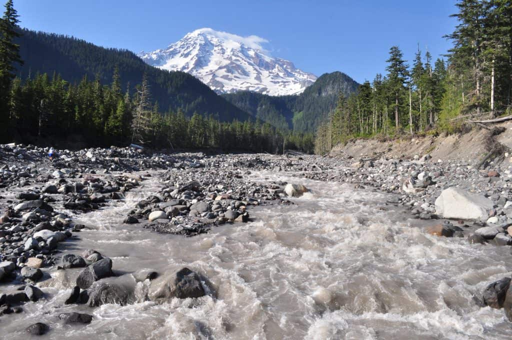
©"Nisqually River near Cougar Rock 01" by Joe Mabel. is licensed under BY-SA 3.0. - Original / License
Cougar Rock Campground lies between Longmire and Paradise on the park’s southwest side. It sits at an elevation of 3,180 feet in a Douglas fir forest with the Nisqually River running along the far side of the road. It’s the busiest campground in the park, with 173 individual sites located on six loops, making it a big enough place that you don’t need to have your neighbor right on top of you.
The trailhead access is hard to beat. Just up the hill is Paradise, with its famous wildflower meadows and high alpine loop hikes. The loop trail is considered the best day hike in all of Washington, and Cougar Rock gives you access before everyone else arrives for the day.
The campground has full facilities, including flush toilets and fire grates. Reservations open on a rolling six-month basis and fill quickly, so book the moment your window opens if you want a July or August site. RVs up to 35 feet are welcome and reservations start at $20 per night for a standard campsite.
Ohanapecosh Campground
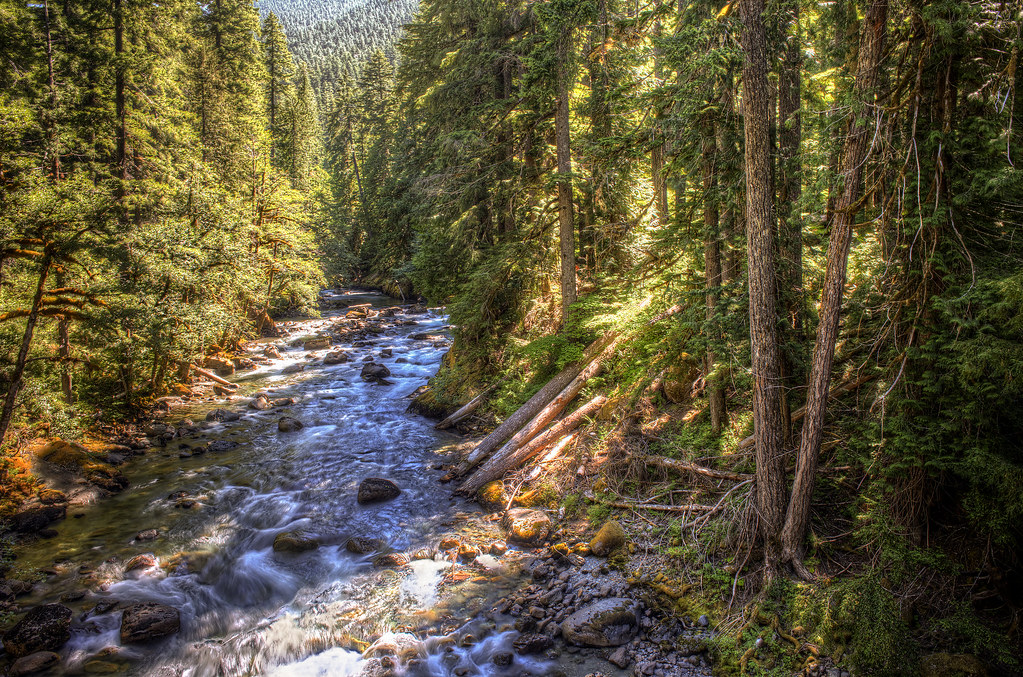
©"Ohanapecosh River [HDR]" by nick.mealey is licensed under BY 2.0. - Original / License
Ohanapecosh is the park’s biggest campground with 188 campsites located in the old-growth forest on the southeast side near the Stevens Canyon entrance. The Ohanapecosh River flows through the area, but the campground is notably drier than the west side. That detail matters more than people expect. Rainier’s western slopes catch most of the Pacific moisture, so the east side gets longer dry spells in summer.
The hiking right out of camp is what makes Ohanapecosh particularly good. The Grove of the Patriarchs trail winds through a stand of ancient Douglas firs and red cedars estimated to be up to 1,000 years old, and starts just minutes away. Silver Falls is another easy option from here.
If you want a camp that works as a destination rather than a transit spot before visiting Paradise, this is the one.
White River Campground

©"Mount Rainier, Washington State" by Harold Litwiler, Poppy is licensed under BY-ND 2.0. - Original / License
White River sits at 4,400 feet on the northeast side of the park. It’s the natural base for exploring Sunrise, the highest point in the park accessible via highway at 6,400 feet. The Sunrise area will take you above treeline. There, you’ll have access to open subalpine terrain and panoramic views of the north face of the mountain. And you can get to the trails without even moving the car.
The campground offers 112 sites divided into 4 loops, with flush toilets and potable water available. No hookups. RVs are restricted in size to 27 feet due to narrow roads.
White River is a traditional start for mountaineers who use the Emmons Glacier route to climb to the summit. During midsummer you might find the campground shared by rope teams planning 2 a.m. departures. That’s either atmosphere or a nuisance. Knowing which before you book is useful.
Mowich Lake Campground
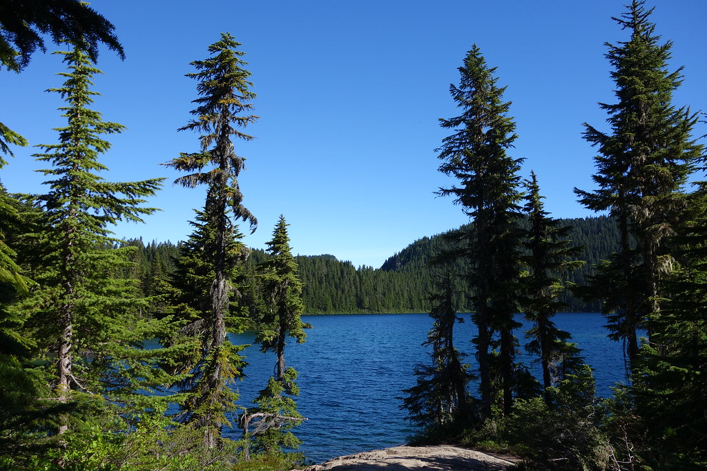
©"Mowich Lake" by Mount Rainier NPS is licensed under BY 2.0. - Original / License
Mowich Lake Campground is the furthest drive-in campground in the park. It sits at an elevation of 4,929 feet on the northwestern slope of the mountain. It has only 10 primitive tent campsites, which are free and run on a first-come, first-served basis.
The lake is surrounded by subalpine forests and direct views of the mountain with significantly fewer visitors than any other location along the south or east sides. The Wonderland Trail runs through here, and the trail up to Tolmie Peak with its fire lookout tower is nearby.
The Fairfax Bridge along SR 165 has been closed and may limit your access by vehicle to this campsite, so check with the park regarding road conditions before planning the trip.
La Wis Wis Campground
©"Ohanapecosch River at La Wis Wis Campground" by valeehill is licensed under BY-ND 2.0. - Original / License
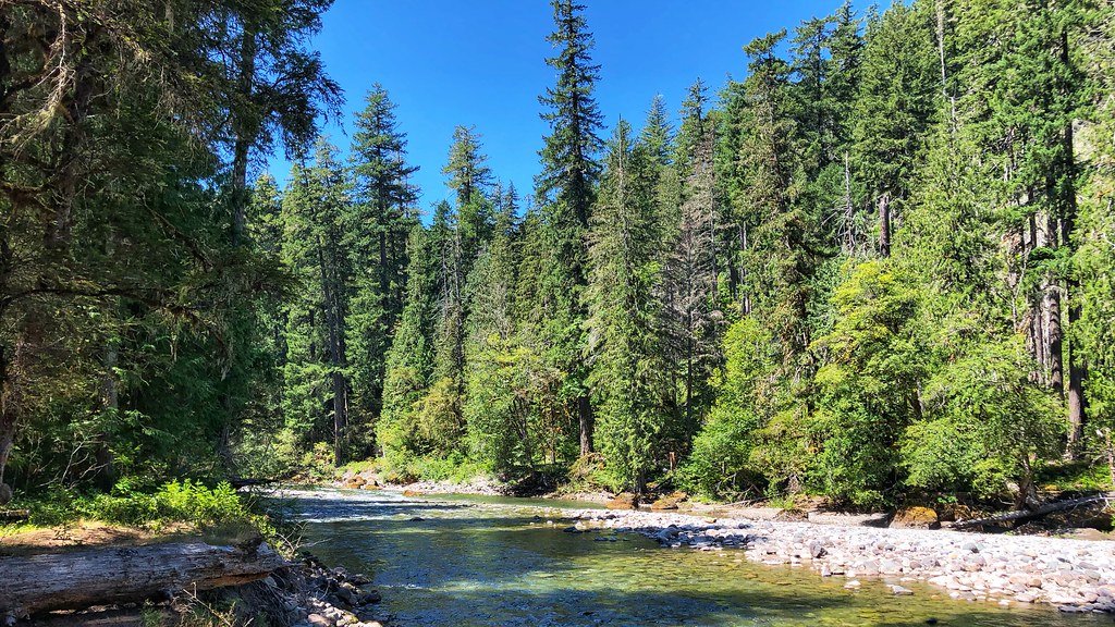
La Wis Wis lies within the Gifford Pinchot National Forest, about seven miles from the Stevens Canyon entrance off US Highway 12. It’s also at the confluence of the Ohanapecosh River, the Clear Fork of the Cowlitz, and Purcell Creek. Three rivers at one campground may seem too good to be true, but it isn’t. The sound of running water never ceases, the old-growth Douglas fir and red cedar trees are real, and the riverbank sites get enough sun to dry out wet gear.
There are 122 campsites, and almost all of them have enough privacy. Purcell Falls Trail and Blue Hole Trail (an excellent swimming spot in the Ohanapecosh, worth remembering for August) start from the campgrounds. Close enough to the park for easy day trips, far enough outside it that reservations are less of a bloodsport. The cost of the sites is $20 per night. RVs can use the Hatchery Loop but other roads are too narrow for big vehicles.
Skate Creek Road Dispersed Camping
©"Entrance to Gifford Pinchot National Forest-Gifford Pinchot" by Forest Service Pacific Northwest Region is licensed under PDM 1.0. - Original / License
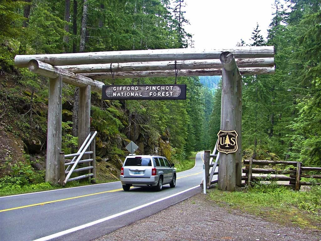
Forest Road 52 extends from Ashford east along the Gifford Pinchot National Forest, parallel to and south of the park boundary. Dispersed camping is free along the whole road, and the views of Rainier from some camp spots are something else.
The quality of the campsites varies widely. The US Forest Service has erected temporary latrines at some pull-outs because of the amount of trash, which speaks volumes for the use of this corridor during summer weekends. Come midweek or in shoulder season and Skate Creek Road is a different experience. If you come on a Friday afternoon in August, you should manage your expectations accordingly.
White River Dispersed Campsites
©"Mount Rainier" by tiffany98101 is licensed under BY 2.0. - Original / License
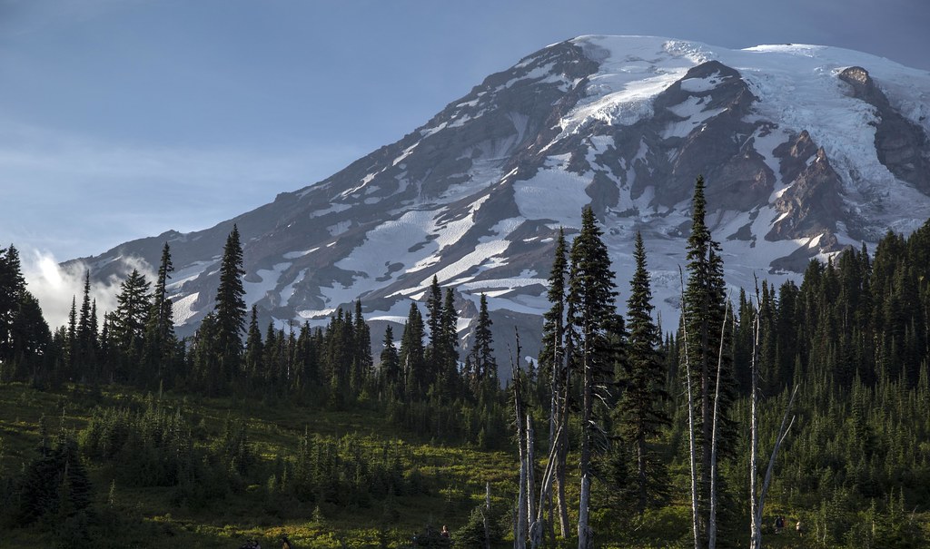
These dispersed sites on White River lie close to Highway 410 at the northeast entrance point, just outside the park boundary. They’re spread out along the forest roads leading to the highway. Some are located in clearings and others in the forest area. High-clearance vehicles will handle the roads better, but normal vehicles should be able to access the closer sites.
This is one of the better dispersed options if you intend to camp and hike around the Sunrise and northeast part of the park. The White River Campground within the park gets full during weekends in summer, with the highway sites acting as an unofficial overflow area. Same access to the same terrain at no cost and with more flexibility when it comes to the arrival time. The tradeoff is no amenities and no guaranteed site waiting for you.
Carbon River Backcountry
©"View from Carbon River suspension bridge" by brewbooks is licensed under BY-SA 2.0. - Original / License
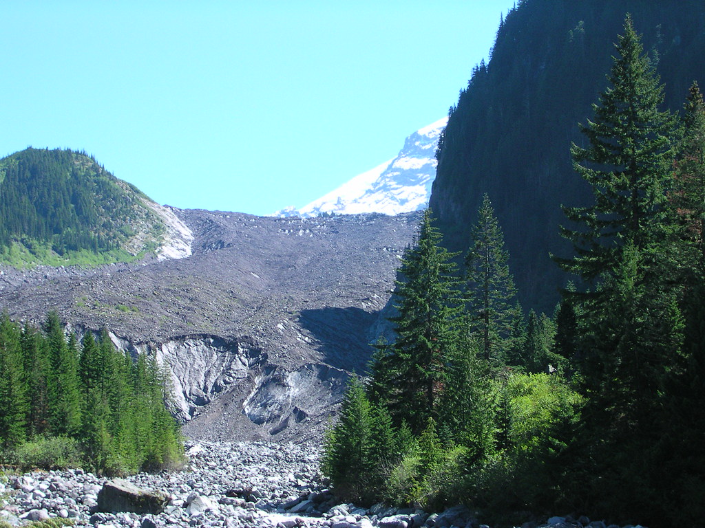
The Carbon River corridor in the park’s northwest corner is the odd one out among Rainier’s main zones. It’s a temperate rainforest, where the annual rainfall creates conditions unlike anywhere else in the park. There is a dense forest here that differs significantly from other areas of Rainier, being darker and having more ferns and mosses beneath and an older and thicker canopy above.
Backcountry camping here requires a wilderness permit and a valid park pass. The main attraction is the Carbon Glacier, which is the lowest elevation glacier in the contiguous United States and is accessible on foot for a day hike from a backcountry camp.
Bridge access to some parts of the Carbon River region has a history of being intermittently closed, so check current conditions with the park before finalizing plans. It’s the kind of place where a quick phone call saves a wasted four-hour drive.
Wonderland Trail Backcountry Sites
©"Wonderland Trail" by pixelgerm is licensed under BY-ND 2.0. - Original / License
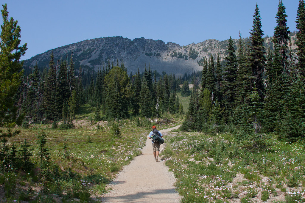
The Wonderland Trail is an epic 93-mile loop that encircles the whole mountain, featuring campsites located at regular intervals. While completing a full round takes about 10 to 14 days, the trail may be visited in sections, and some of its backcountry sites are the best camping options in the area.
The Summerland campsite is located to the east of the mountain at around 5,400 feet. The highest point on the Wonderland Trail, Panhandle Gap (6,750 feet), requires a wilderness permit for overnight camping. Both fill up during the summer season, and the permit reservation system through the NPS is competitive enough that you’ll want to move on it the moment the booking window opens in the spring. If you manage to secure one, you’ll get high-elevation camping in open terrain with views of the mountain that no drive-in campground can replicate. Bear boxes and water aren’t available at every site, so standard backcountry protocols apply.
Mounthaven Resort
©"Mount Rainier" by U.S. Geological Survey is licensed under BY 2.0. - Original / License
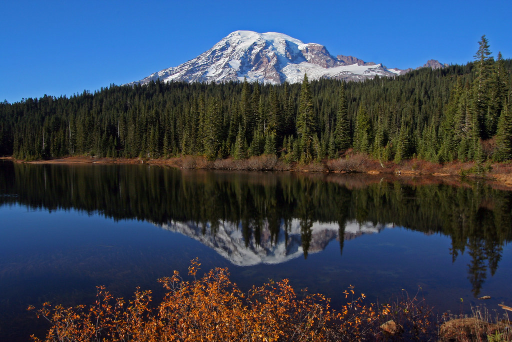
Not everyone in the group wants to sleep on the ground, and Mounthaven exists for that exact situation. It’s a private campground and cabin resort located in Ashford, just six miles away from the Nisqually entrance. It’s close to the Nisqually River and provides tent campsites, RV campsites, and cabin rentals.
The advantage is versatility. You can unite those who want to camp in tents and those who prefer cabins without dividing the group. Ashford is the final stop before entering the park from the west. Staying here positions you well for an early start into the park without an extra drive.
It’s a resort, so do not expect quietness, but as a base camp close to one of the most interesting mountain environments in the country, it’s a practical choice for groups with mixed camping appetites.

