
The Pacific Northwest is home to some of the most beautiful hiking trails in the country. But breathtaking scenery doesn’t always mean an easy hike. Some trails come with steep drop-offs, difficult river crossings, unstable terrain, and weather that can change in a hurry. And when you’re miles from the nearest road, even a relatively small mistake can turn into a serious problem.
Of course, the PNW isn’t alone. Across the United States, hikers encounter everything from exposed mountain ridges and rugged wilderness to desert heat and unpredictable conditions at higher elevations. Even experienced hikers can find themselves in trouble when they underestimate a trail or head out without the right preparation.
We’ve rounded up hiking trails in the Pacific Northwest and across the country that are known for their challenging conditions and potentially serious hazards. This isn’t a definitive ranking of America’s deadliest hikes. Instead, we’re looking at what makes each trail particularly demanding, the risks hikers should understand, and why a little preparation can make all the difference between a memorable adventure and one they’d rather forget.
1. Angel’s Landing — Utah
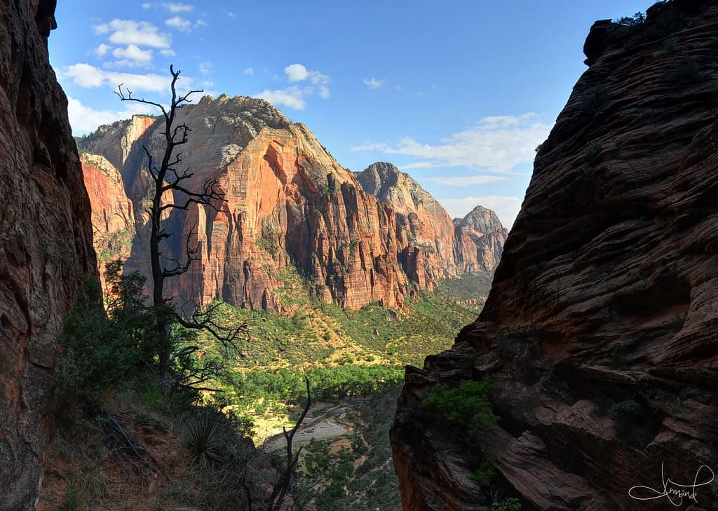
©"Descending Angel's Landing, Zion National Park, Utah" by tsaiproject is licensed under BY 2.0. - Original / License
The first of the most dangerous hikes in the U.S. is Angel’s Landing. This is part of Zion National Park in Utah.
1. Angel’s Landing — Utah
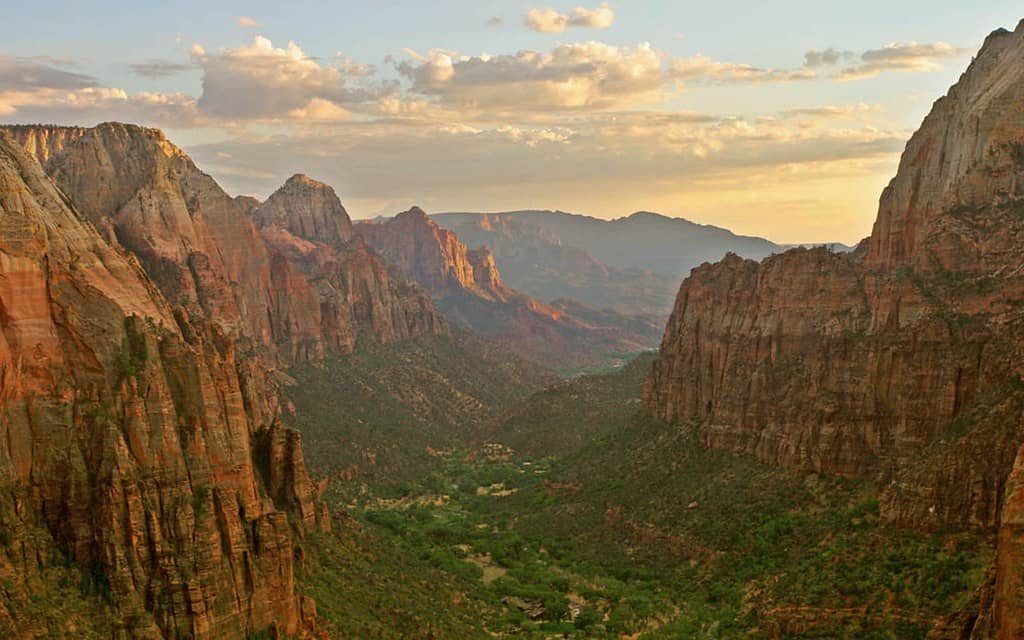
©"Zion Canyon - Angels Landing, Utah" by Trodel is licensed under BY-SA 2.0. - Original / License
There is an elevation change of 1,488 feet over the 5.4-mile-long trail. There are an estimated two deaths annually from hikers attempting to climb the steep cliffs.
2. Bright Angel Trail — Arizona
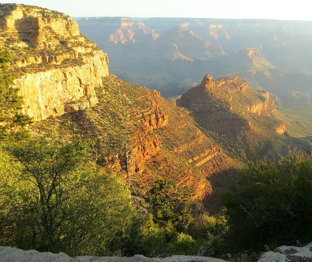
©"Grand Canyon Arizona USA - 021 Bright Angel Trail" by WasifMalik is licensed under BY 2.0. - Original / License
With a name like Bright Angel Trail, you’d expect this path in Grand Canyon National Park to be nothing but pure bliss. It may surprise you to learn that there are more emergency calls for rescues on this Arizona trail than any other in the state.
2. Bright Angel Trail — Arizona
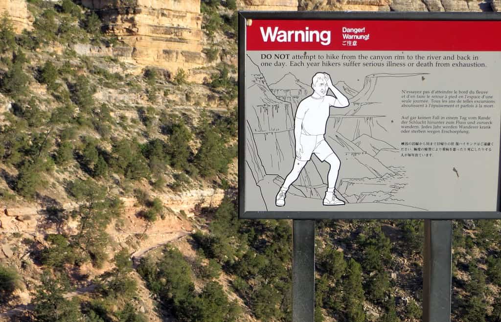
©"Grand Canyon Arizona USA - 025 Bright Angel Trail" by WasifMalik is licensed under BY 2.0. - Original / License
The hot weather is the main predator here, leading to things like heat stroke and dehydration.
3. Mist Trail and Half Dome Cables — California
©Tyler Meester/Shutterstock.com
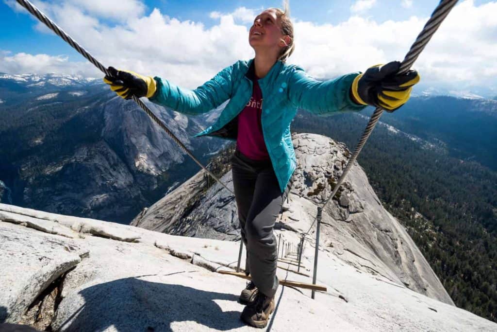
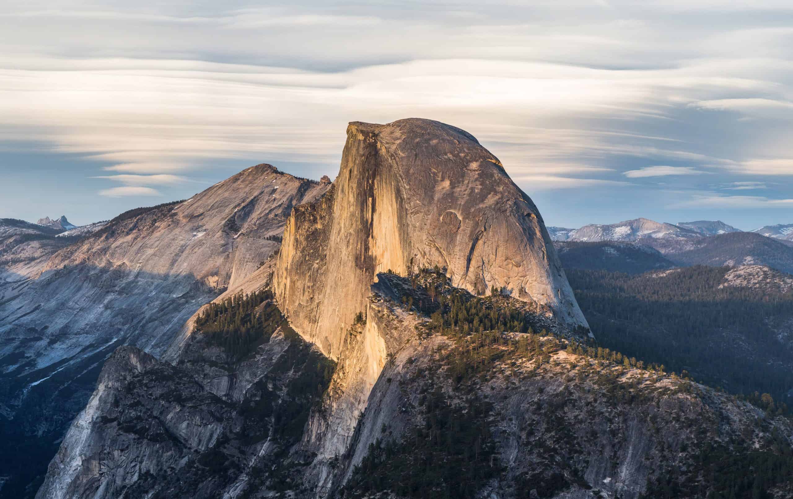
The Half Dome is one of the most popular hikes in Yosemite National Park. Because of how narrow and intense the route is, the park limits 300 visitors each day. Just 50 of these hikers are allowed to summit the granite natural wonder.
3. Mist Trail and Half Dome Cables — California
©"Half Dome from Glacier Point, Yosemite NP - Diliff" by Diliff is licensed under BY-SA 3.0. - Original / License
Everything from altitude sickness to dehydration can cause even the healthiest hiker to turn around.
4. Abrams Falls — Tennessee
©"Abram Falls - Smokey Mountains" by tsmartin is licensed under BY 2.0. - Original / License
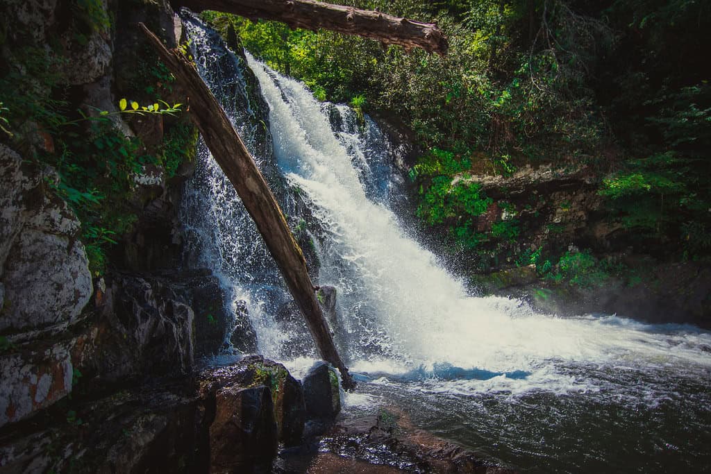
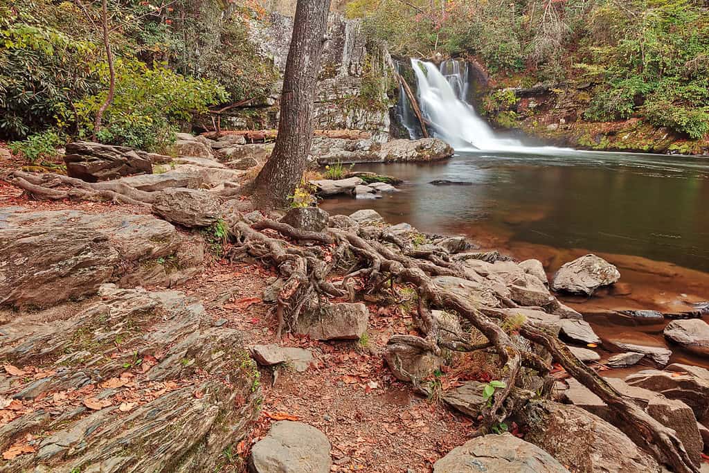
While the Abrams Falls Trail is a shorter trail, it’s still one of the most dangerous hikes in the U.S. Located within the Great Smoky Mountains, it is dangerous due to a rushing waterfall.
4. Abrams Falls — Tennessee
©"Rugged Abrams Falls" by Bold Frontiers is licensed under BY 2.0. - Original / License
The trail can get slick because of spraying water and there have been almost 60 drownings in the last 100 years.
5. Buckskin Gulch — Utah
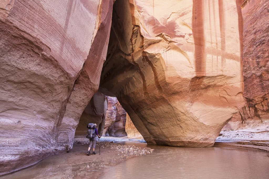
©"#conservationlands15 Social Media Takeover, June 15th, Bucket List Location Buckskin Gulch" by mypubliclands is licensed under BY 2.0. - Original / License
The twisting and curving slot canyons in Utah are mesmerizing to look at. Buckskin Gulch plunges deep into the Earth and is on the list of the most dangerous hikes in the U.S. due to the narrow passageways.
5. Buckskin Gulch — Utah
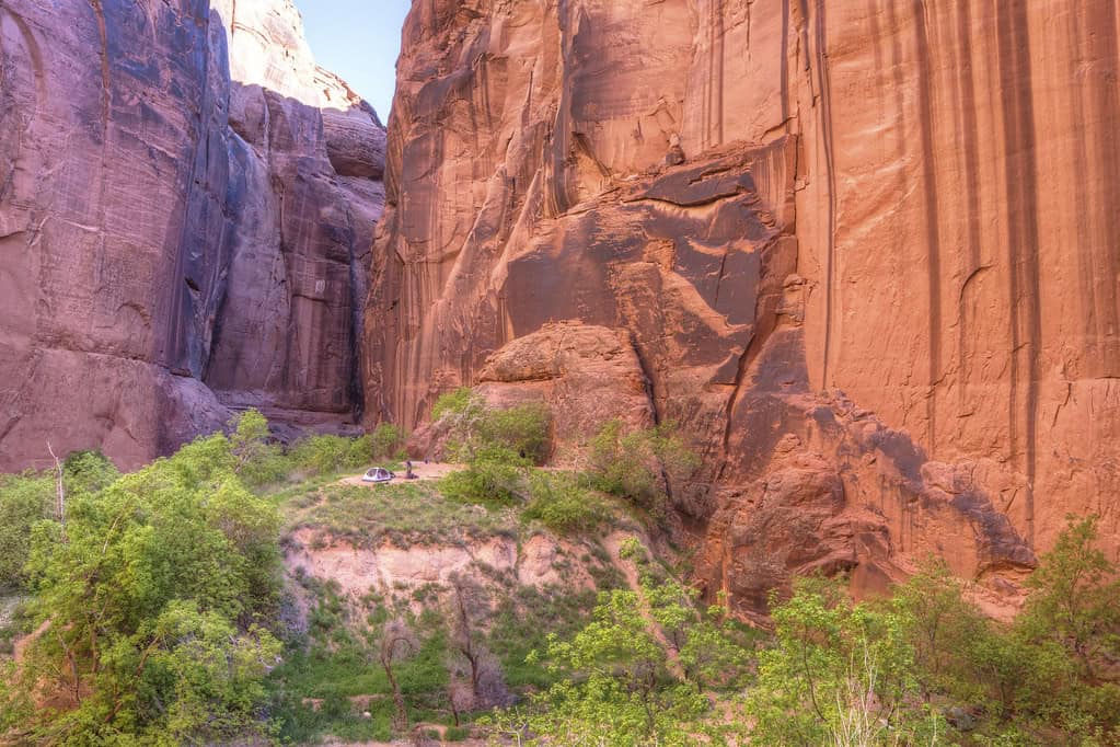
©"#conservationlands15 Social Media Takeover, June 15th, Bucket List Location Buckskin Gulch" by mypubliclands is licensed under BY 2.0. - Original / License
Although no one has died here at the time of writing this, it is not entirely uncommon for people to get stuck in these tight spaces.
6. Huckleberry Lookout — Montana
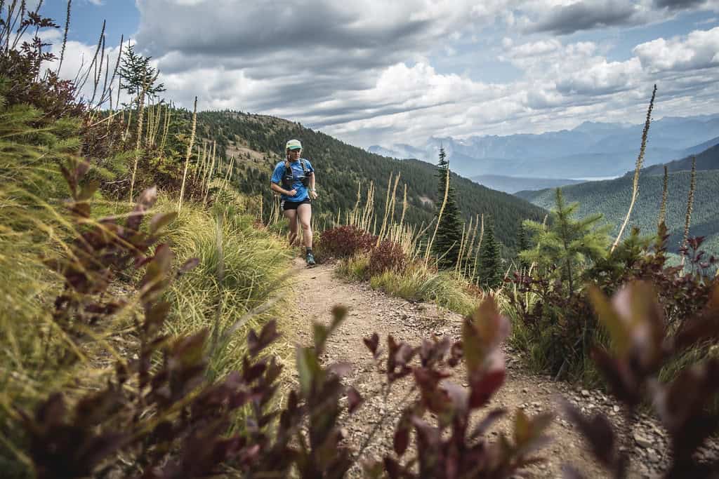
©"Huckleberry Lookout Trail" by GlacierNPS is licensed under PDM 1.0. - Original / License
Although the name Huckleberry Lookout may seem inviting, this is the region with the highest grizzly bear population in the lower 48 states.
6. Huckleberry Lookout — Montana
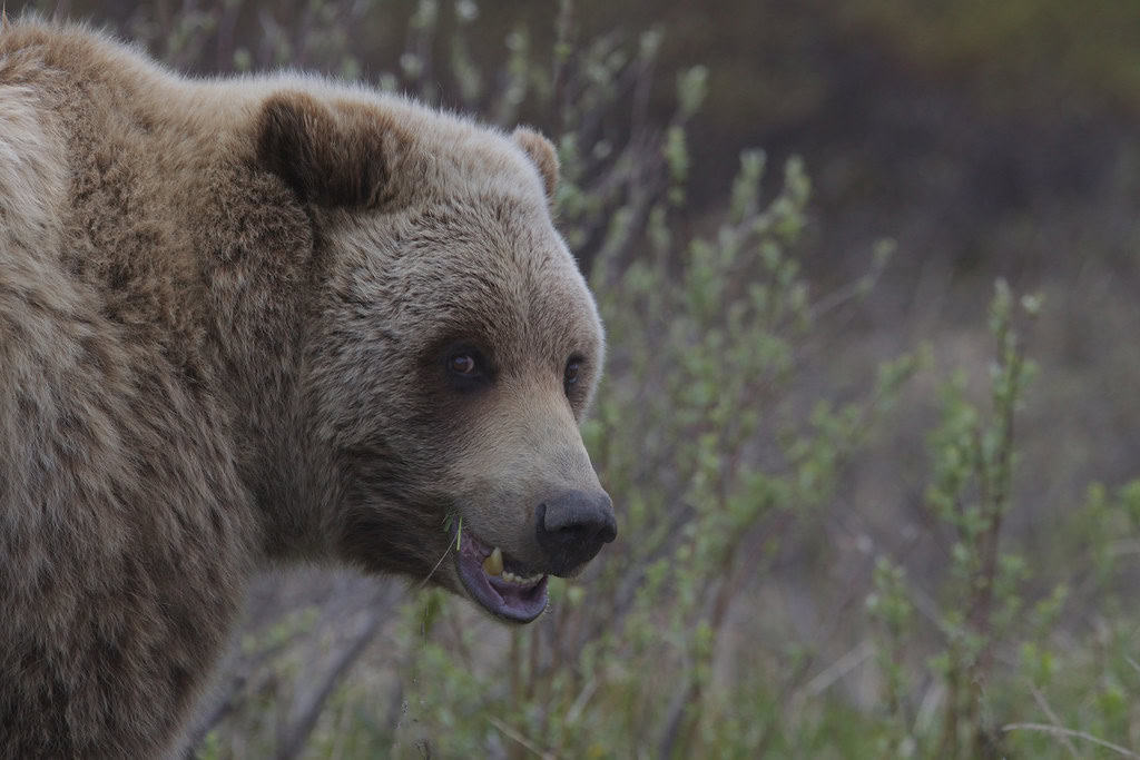
©"Grizzly bear (Ursus arctos ssp.)" by Gregory 'Slobirdr' Smith is licensed under BY-SA 2.0. - Original / License
These beautiful apex predators won’t shy away from the presence of humans when they are feeding on berries in the springtime. While the 11.6-mile hike may be hard, the bears are your biggest threat here.
7. Camp Muir — Washington
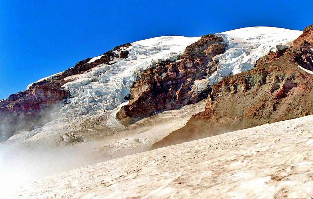
©"Mt. Rainier from Just Under Camp Muir" by Andrew E. Larsen is licensed under BY-ND 2.0. - Original / License
This trail on Mount Rainier requires hikers to pack certain items for their own safety. There is an elevation change of 4,640 feet throughout this nearly nine-mile-long path. 2,800 feet of this is nearly vertical.
7. Camp Muir — Washington
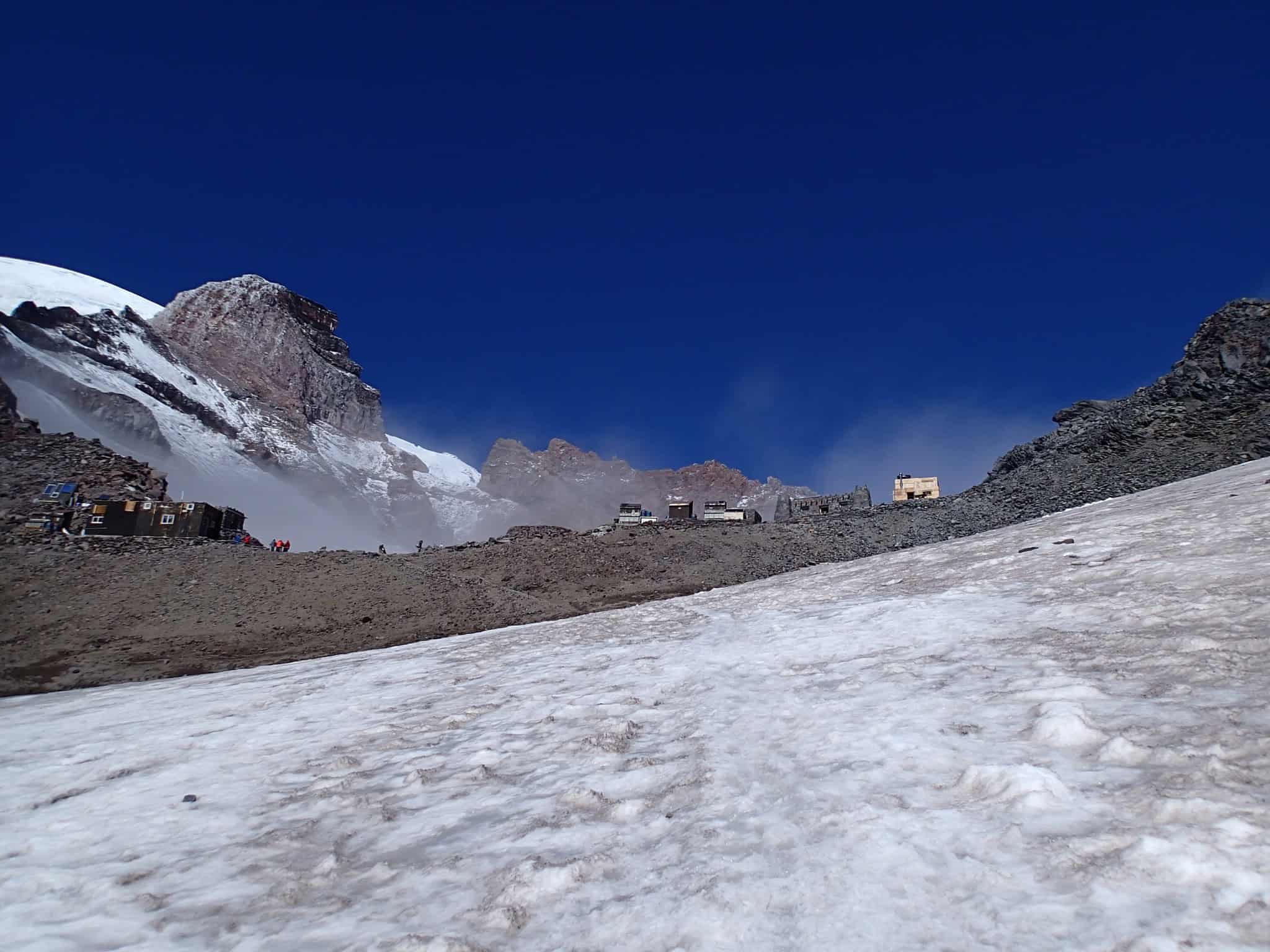
©"<div class='fn'> Camp Muir Mount Rainier National Park Washington</div>" by David Geeraerts is licensed under BY 3.0. - Original / License
People have died trying to reach the summit due to the steep elevation.
8. Kalalau Trail — Hawaii

©"Kalalau Trail day hike to Hanakapiai Beach, Kauai, Hawaii" by Rick McCharles is licensed under BY 2.0. - Original / License
Located on the Na Pali Coast in Kauai, the Kalalau Trail is the state’s most dangerous path. The 11-mile path consists of steep cliffs, jagged landscaping, and slick surfaces after it rains. While the views may be beautiful, the eroding cliffs and falling rocks can quickly lead to a dangerous situation.
9. Maze Overlook Trail — Maryland
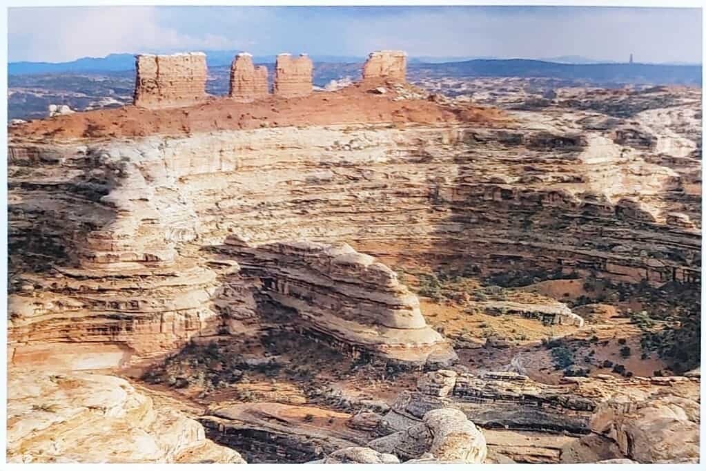
©"NL-4818431" by Bluriel's Postcards is licensed under PDM 1.0. - Original / License
Also known as The Maze, this area of Canyonlands National Park is one of the region’s most dangerous hikes. Experts suggest that travelers should pack self-rescue equipment due to how intense the terrain is.
9. Maze Overlook Trail — Maryland
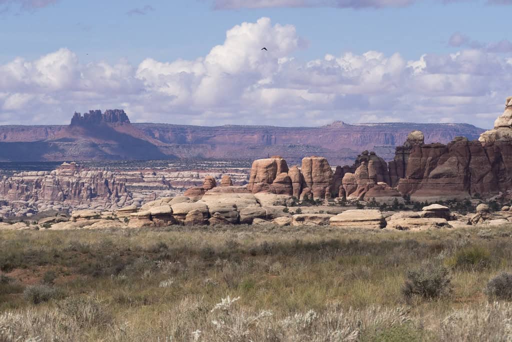
©"Maze District from Chesler Park, Needles District Canyonlands National Park." by Ranger Robb is licensed under PDM 1.0. - Original / License
The trail is about eight miles long and has an elevation gain of just under 1,000 feet. Something that makes this place dangerous is that hikers can get trapped and rescue can be risky.
10. Devil’s Path — New York
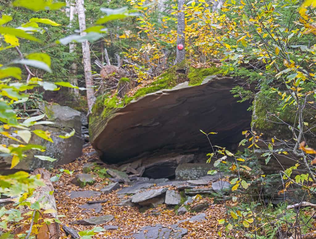
©"Cave on Devil's Path, West Kill Mountain, Spruceton, NY" by Daniel Case is licensed under BY-SA 2.0. - Original / License
When it comes to naming the most dangerous hikes in the U.S., Devil’s Path is as apt as it gets. There is no shortage of rescues because of the vertical climbs.
10. Devil’s Path — New York
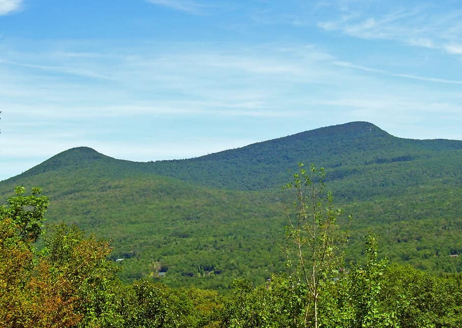
©"Kaaterskill High Peak" by Daniel Case is licensed under BY-SA 3.0. - Original / License
While some say the Devil’s Path Trail in the Catskills is underrated, there’s no shortage of hikers there. With an elevation change of over 8,000 feet, it may be a good thing that several people turn around before finishing the 22-mile journey.
11. Mount Denali — Alaska
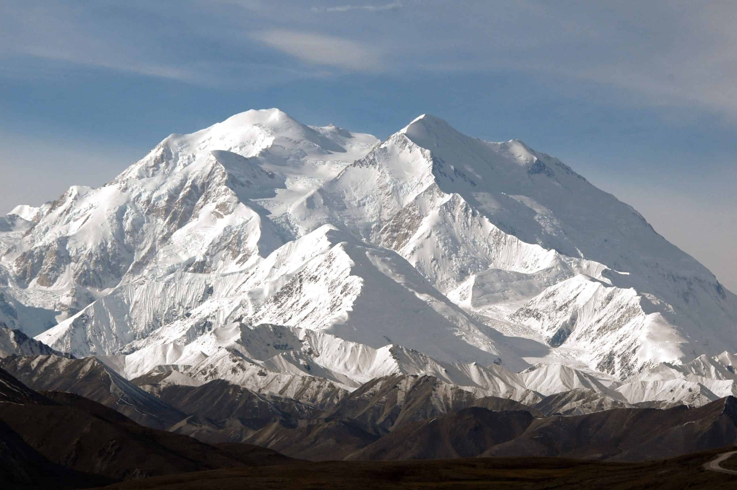
©"Mount Mc Kinley 6193 m (Denali = Indian for 'the Great') from the Denali Visitors Center in August 2006 by my son Bas on his second trip to Alaska - panoramio" by Henk Monster is licensed under BY 3.0. - Original / License
Mount Denali is the highest peak in the United States at just over 20,000 feet. The landscape is rugged, and even the most seasoned hikers can be intimidated here. The two main dangers are exposure to natural elements and the potential to fall off steep cliffs. There have been nearly 130 deaths here in the last 100 years.
12. Barr Trail — Colorado
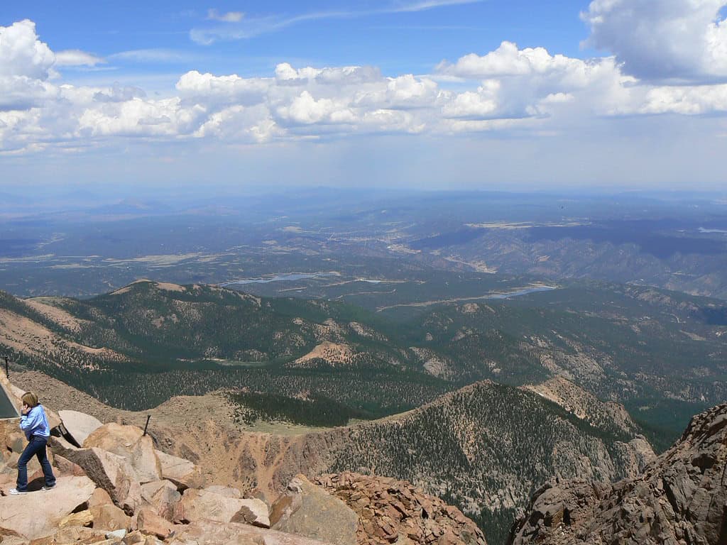
©"View from the top pikes pike's peak colorado springs manitou springs co usa looking towards Kansas" by Tim Pearce, Los Gatos is licensed under BY 2.0. - Original / License
One of the most dangerous hikes in the U.S. is the Barr Trail. While the view of Manitou Springs can make the trek worth it, this isn’t for the novice hiker. There is an elevation change of nearly 7,500 feet on this 12-mile trail. It takes skilled hikers roughly 10 hours to complete this portion of Pikes Peak.
13. Presidential Traverse — New Hampshire
©"Presidential Traverse" by jfdervin is licensed under BY-SA 2.0. - Original / License
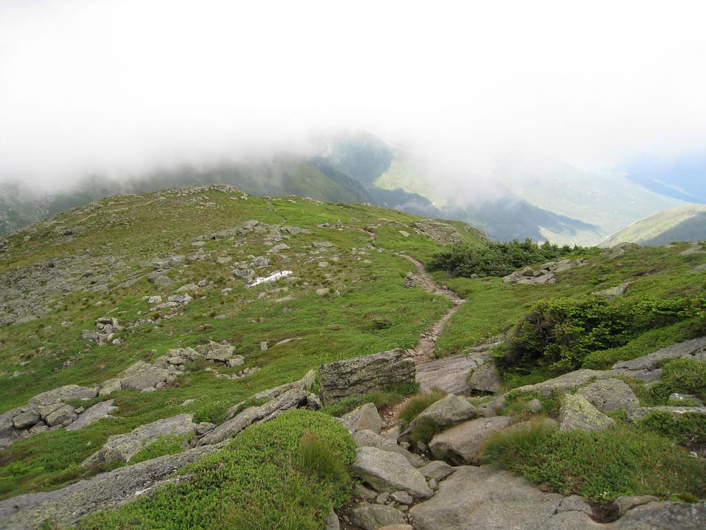
White Mountain National Forest is one of the most visited national forests in the country. An 18-mile-long hike on the Presidential Traverse has an elevation gain of 18,000 feet. The most dangerous part of this trail is how quickly the weather can change. Unless a hiker is prepared for anything from snow to rain, things can turn grim rather quickly.
14. Rover’s Run — Alaska
©"Anchorage: Hiking Around Flattop Mountain" by eliduke is licensed under BY-SA 2.0. - Original / License
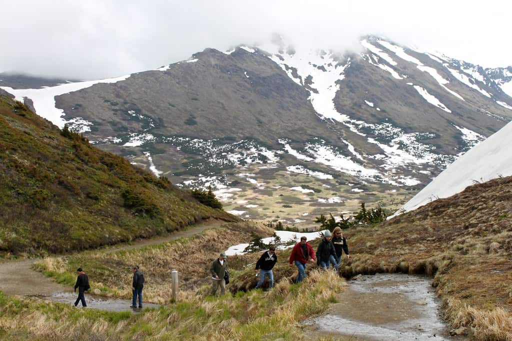
Located in Anchorage, Rover’s Run was originally a game trail and was home to several brown bears. Everything from the elements to fatigue to wildlife can put hikers at risk here. Due to the amount of non-fatal brown bear attacks, many locals have voted to close the trail for good. To this day, Rover’s Run remains open.
15. The Incline — Colorado
©"File:The Manitou Incline just before the false summit 21 Nov 12.jpg" by Ahodges7 is licensed under BY-SA 3.0. - Original / License
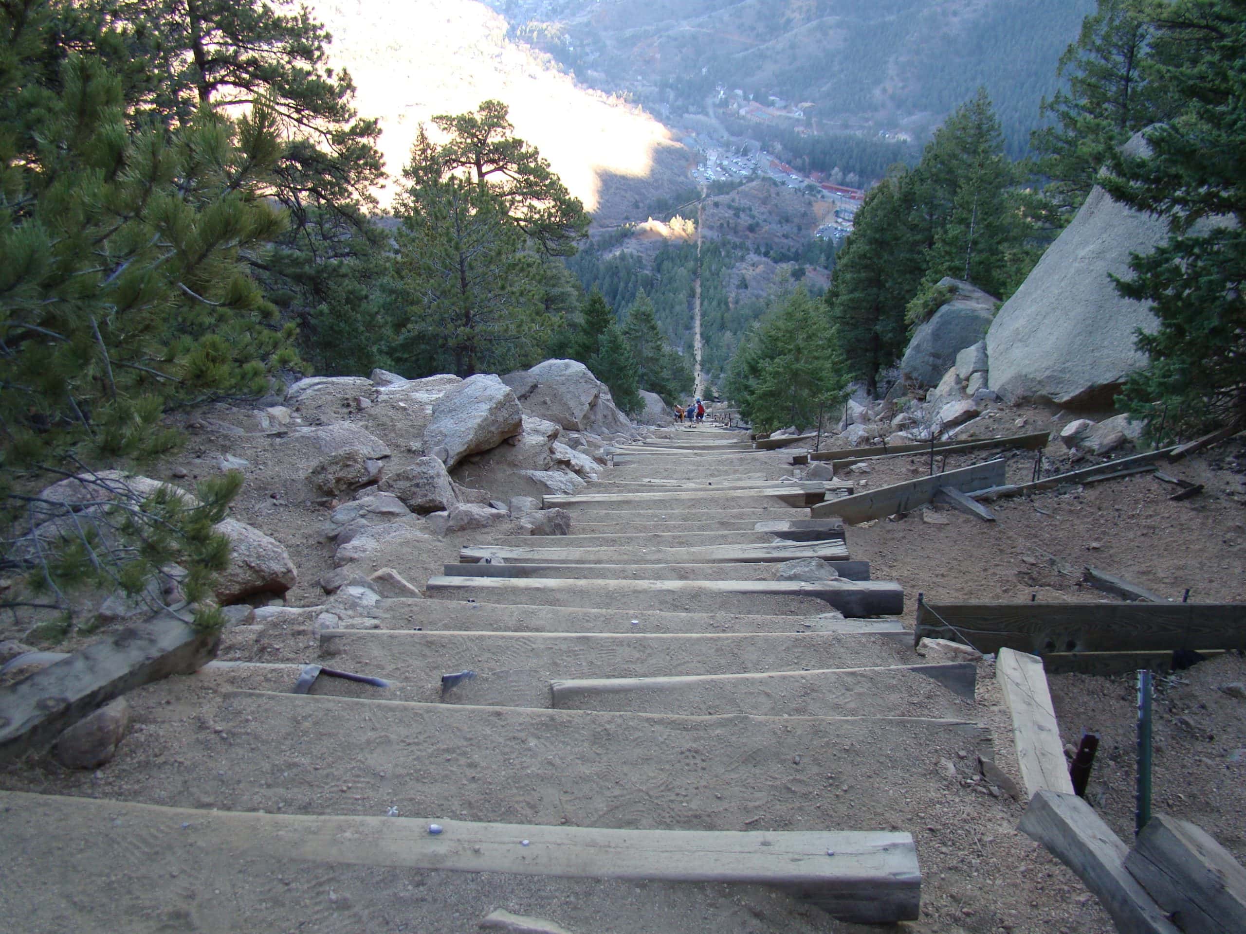
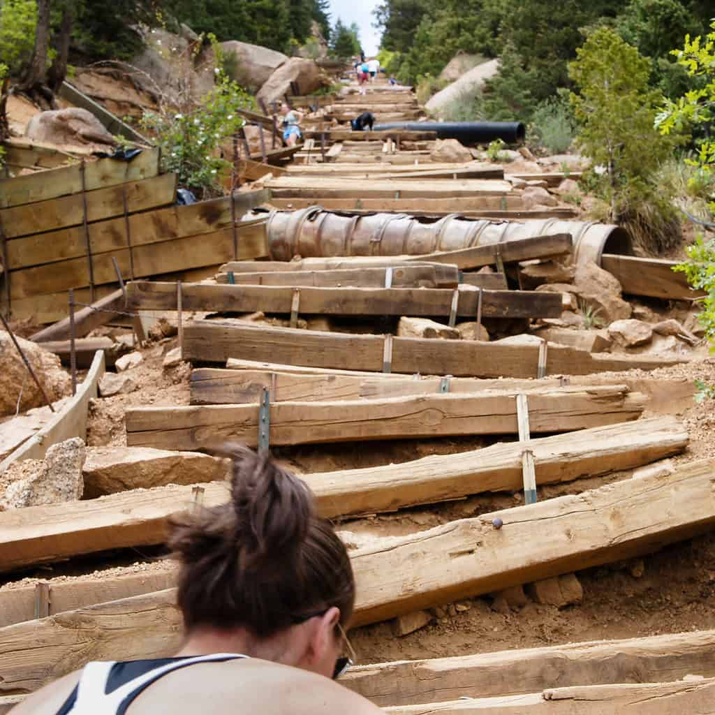
Even though The Incline is just shy of four miles long, this three-hour-long hike is quite deceiving. The main attraction is the 2,700 stairs that many people attempt to climb. Although the steep incline brings danger, the altitude sickness that often comes with it is the main cause of concern.
15. The Incline — Colorado
©"Climbing the Incline" by ken_kangogo is licensed under BY 2.0. - Original / License
It is best to travel on The Incline during the summer months, as snow can make the path even more treacherous.
16. Grinnell Glacier Trail — Montana
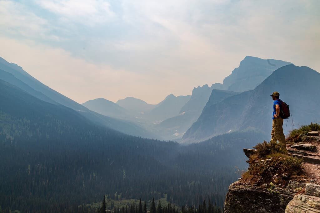
©"Overlook from Grinnell Trail in Glacier National Park" by aparlette is licensed under BY 2.0. - Original / License
Glacier National Park is one of the most scenic areas in the country. There are 153 trails in the park and Grinnell Glacier Trail is one of the most dangerous hikes in the U.S. The entire route roundtrip is 10 miles and takes the average hiker roughly five hours to complete.
16. Grinnell Glacier Trail — Montana
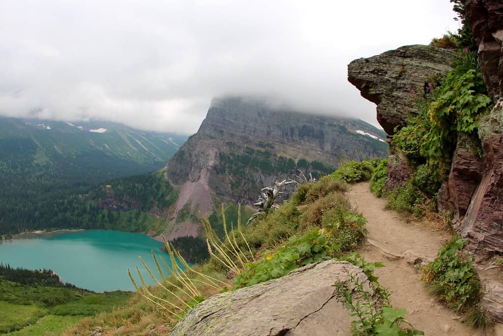
©"Grinnell Glacier lake and the trail" by daveynin is licensed under BY 2.0. - Original / License
The dangers presented to you here are steep, vertical climbs, slippery landscapes, and plenty of wildlife.
17. The Notch Trail — South Dakota
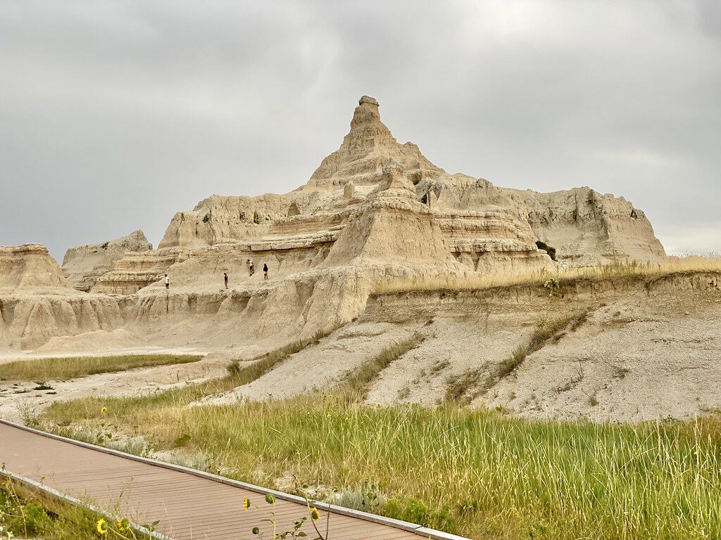
©"Pinnacles from Notch and Door Trails, Badlands National Park, Wall, SD" by w_lemay is licensed under BY-SA 2.0. - Original / License
South Dakota is an incredibly underrated state, especially in terms of the stunning outdoor environment. Badlands National Park is a popular tourist attraction and the Notch Trail is one of the most popular hikes.
17. The Notch Trail — South Dakota
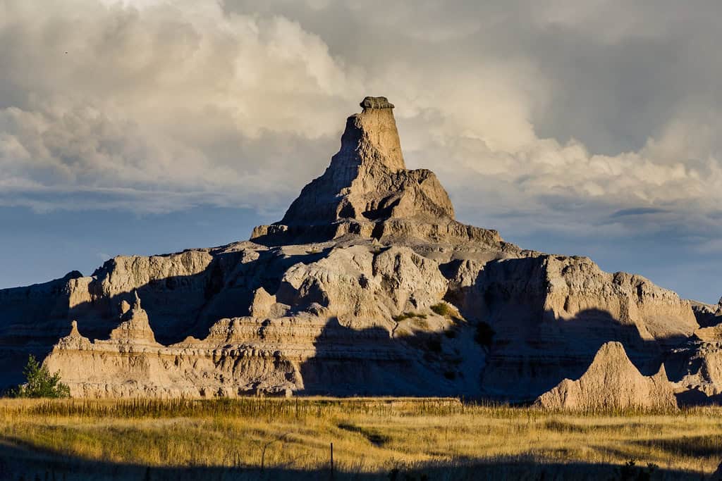
©"side notch" by Christian Collins is licensed under BY-SA 2.0. - Original / License
The trail is 1.5 miles long, yet still packs quite a punch. Hiking on Notch Trail during the summer can easily lead to heat stroke or dehydration if precautions aren’t followed. There is no tree coverage or shade along the route, making hikers completely exposed to the elements.
In the winter, the path can become icy and can lead experienced outdoor enthusiasts to slip and break a bone.

