
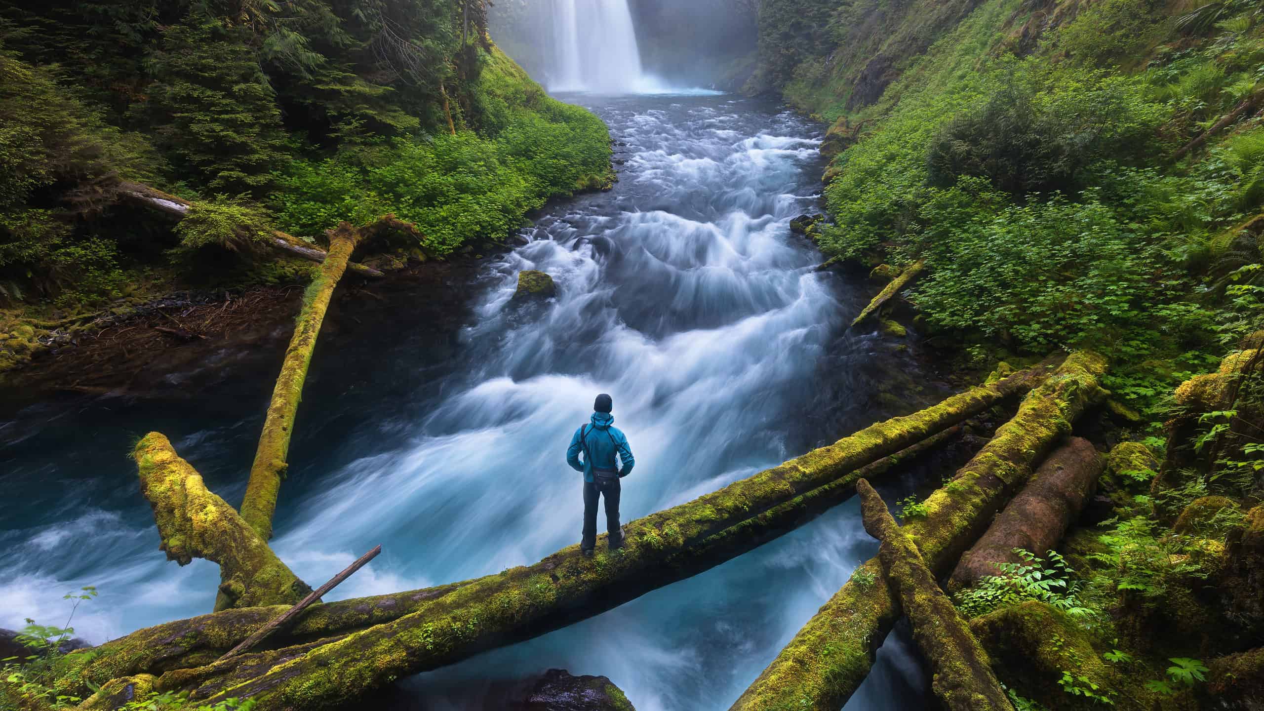
Hiking alone can be one of the best ways to experience the Pacific Northwest. You set the pace, stop when the view deserves it, and enjoy a little quiet without negotiating every mile. But the best solo hike is not necessarily the most dramatic one, and a crowded trail is no guarantee of safety.
These Washington and Oregon routes range from approachable city and waterfall walks to demanding alpine adventures. Some are better suited to experienced hikers, and one popular destination remains affected by access restrictions. Distances are approximate round trips and can change with trailhead choice or seasonal road closures. Before heading out, check official alerts, recent trail reports, weather, and any required passes. Share your plan with someone, carry offline navigation and the essentials, and be willing to turn around.
Multnomah-Wahkeena Loop
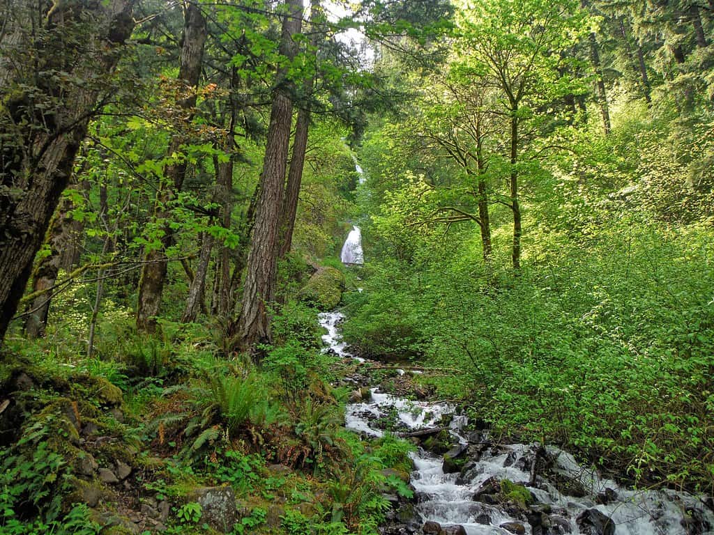
©"Wahkeena Falls" by Kirt Edblom is licensed under BY-SA 2.0. - Original / License
- Location: Columbia River Gorge
- Distance: About 5 miles
This Gorge classic packs two famous waterfalls, mossy forest, and a substantial climb into one outing. It is popular, but that does not make the steep, sometimes slick trail foolproof. Check for trail closures and winter ice before leaving, and give yourself enough daylight for the entire loop.
Rattlesnake Ledge
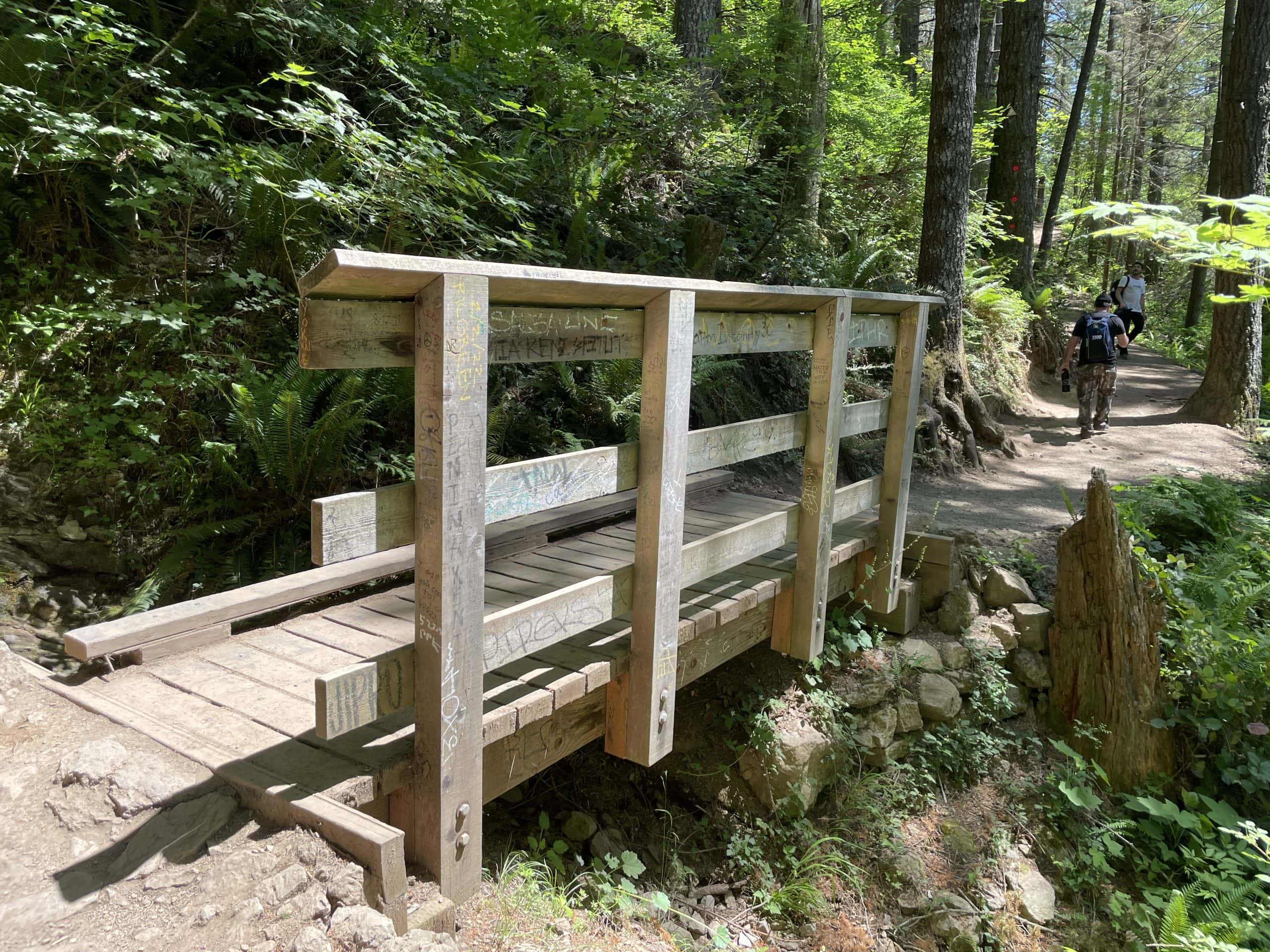
©"2023-06-06, Rattlesnake Ledge Trail, 025" by Steven Pavlov is licensed under BY-SA 4.0. - Original / License
- Location: North Bend
- Distance: About 4 miles
The climb above Rattlesnake Lake is straightforward to follow and rewards you with a sweeping view of the Snoqualmie Valley. The catch is the ledge itself: the drop-offs are serious, and crowds can make the viewpoint hectic. Stay well back from the edge, especially when rocks are wet.
Tamolitch Blue Pool
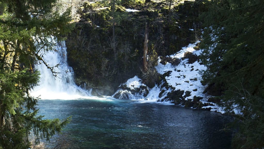
©"Tamolitch Falls and the Blue Pool, Oregon" by Bonnie Moreland (free images) is licensed under CC0 1.0. - Original / License
- Location: McKenzie River
- Distance: About 4 miles
Few Oregon hikes deliver a color quite like the startling blue water at Tamolitch Pool. The trail crosses uneven lava rock and roots, so it is not quite the casual stroll the mileage suggests. Admire the pool from a safe viewpoint; its extremely cold water and steep rocky banks make swimming and jumping dangerous.
Lake 22
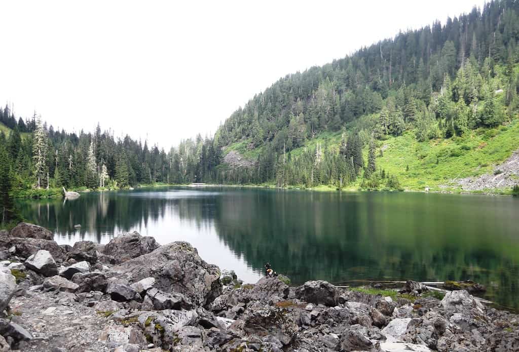
©"Lake 22" by brewbooks is licensed under BY-SA 2.0. - Original / License
- Location: Mountain Loop Highway near Granite Falls
- Distance: About 5.4 miles
Lake 22 serves up old-growth forest, waterfalls, and an alpine basin framed by cliffs. It is a popular summer hike, but snow, avalanche exposure, and slick boardwalks can change the equation dramatically. For a solo trip, aim for snow-free conditions and check current reports before heading up.
Cape Lookout Trail
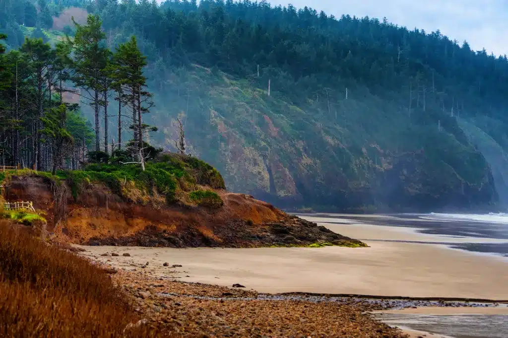
©Dee Browning/Shutterstock.com
- Location: Tillamook Coast
- Distance: About 5 miles
This forested headland stretches into the Pacific, with occasional windows onto the ocean and a memorable view near the tip. Mud and exposed coastal drop-offs are the main concerns. Keep to the established trail, allow extra time after rain, and do not count on cell service along the route.
Twin Falls Trail
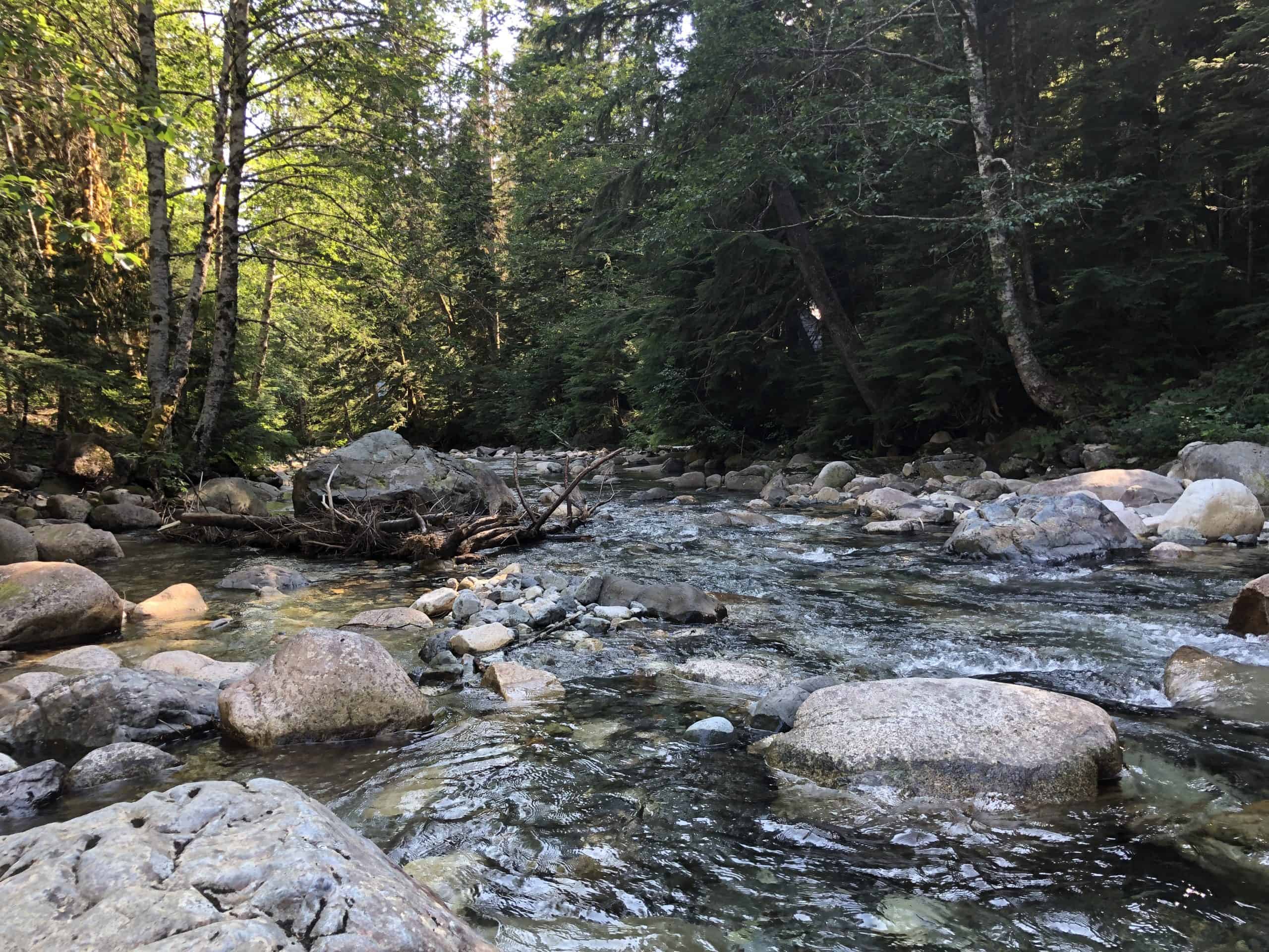
©"2022-08-01, South Fork Snoqualmie River, 01" by Steven Pavlov is licensed under BY-SA 4.0. - Original / License
- Location: Near North Bend
- Distance: About 3 miles, depending on turnaround
Follow the South Fork Snoqualmie River through thick forest to overlooks of Twin Falls. It is a good choice for someone building confidence on solo day hikes, with a defined route and a rewarding destination. Expect muddy stretches and stairs, and stay behind barriers at the viewpoints.
Ramona Falls
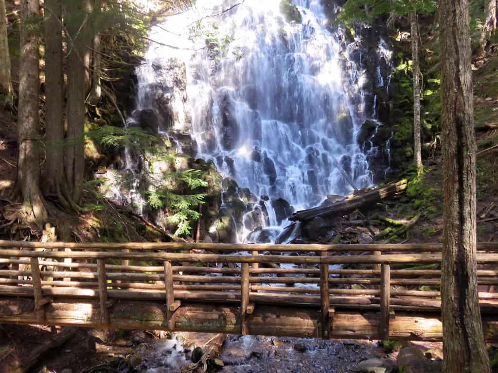
©"Ramona Falls Hike at Mt. Hood Wilderness in Oregon" by Landscapes in The West is licensed under PDM 1.0. - Original / License
- Location: Mount Hood National Forest
- Distance: About 7 miles
Ramona Falls is beautiful, but it is not a beginner-friendly solo recommendation. Reaching the falls requires crossing the glacial Sandy River, where there is no maintained bridge and water levels can rise quickly. Experienced hikers should check Forest Service guidance and turn around if the crossing is unsafe. Going with a partner is the smarter call.
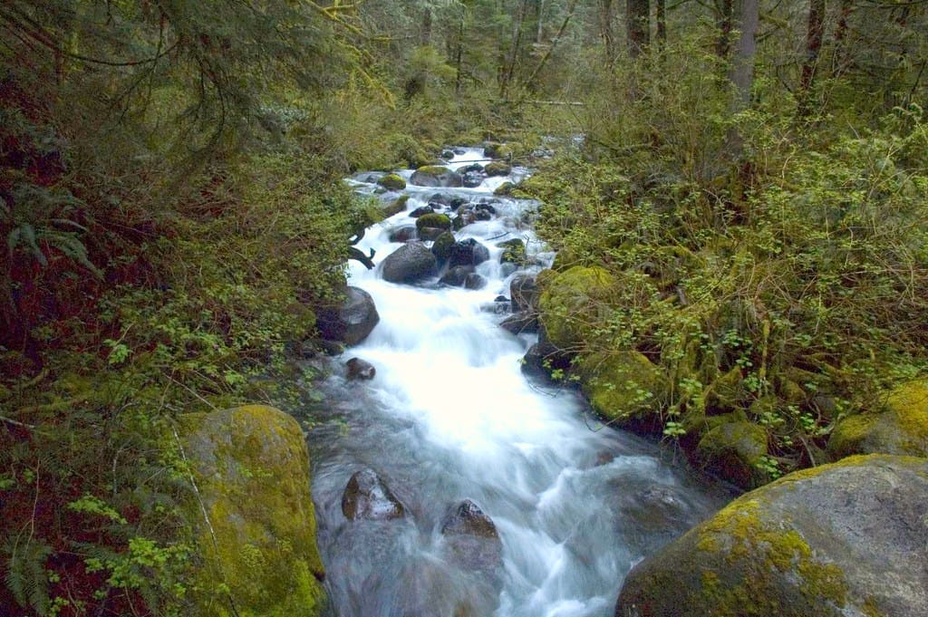
Wallace Falls
©"Wallace Falls (7)" by ChefMattRock is licensed under BY 2.0. - Original / License
- Location: Gold Bar
- Distance: About 5.6 miles to the upper falls and back
Wallace Falls State Park has a well-established trail and several worthwhile turnaround points. The middle falls viewpoint is a fine destination if you want a shorter outing, while continuing uphill adds a tougher climb. Mud, steep sections, and wet roots still demand attention, particularly after heavy rain.
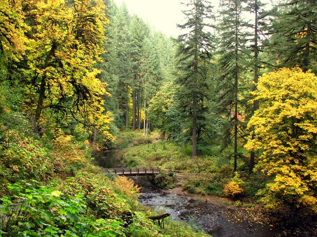
Trail of Ten Falls
©"Canyon Trail, Silver Falls State Park, Oregon" by DBerry2006 is licensed under BY 2.0. - Original / License
- Location: Silver Falls State Park
- Distance: About 7 to 8 miles for the full loop
Silver Falls is one of Oregon’s best waterfall hikes, with a network of trails that takes you behind several cascades. The park’s established routes make navigation more manageable, but wet rock steps and slippery surfaces deserve respect. Choose a shorter loop if the full circuit is more than you want to tackle alone.
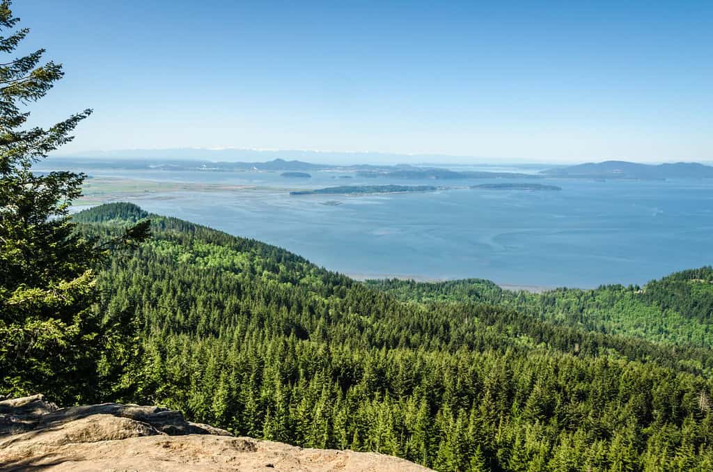
Oyster Dome
©"Oyster Dome" by Michael.Camilleri is licensed under BY 2.0. - Original / License
- Location: Chuckanut Mountains near Bellingham
- Distance: About 5 to 6.5 miles, depending on trailhead
The climb to Oyster Dome earns its keep with a broad view over Samish Bay and the San Juan Islands. Trailhead choice changes the distance, and some approaches involve roadside parking and steep switchbacks. Download your route before you go and keep clear of the exposed edges at the viewpoint.
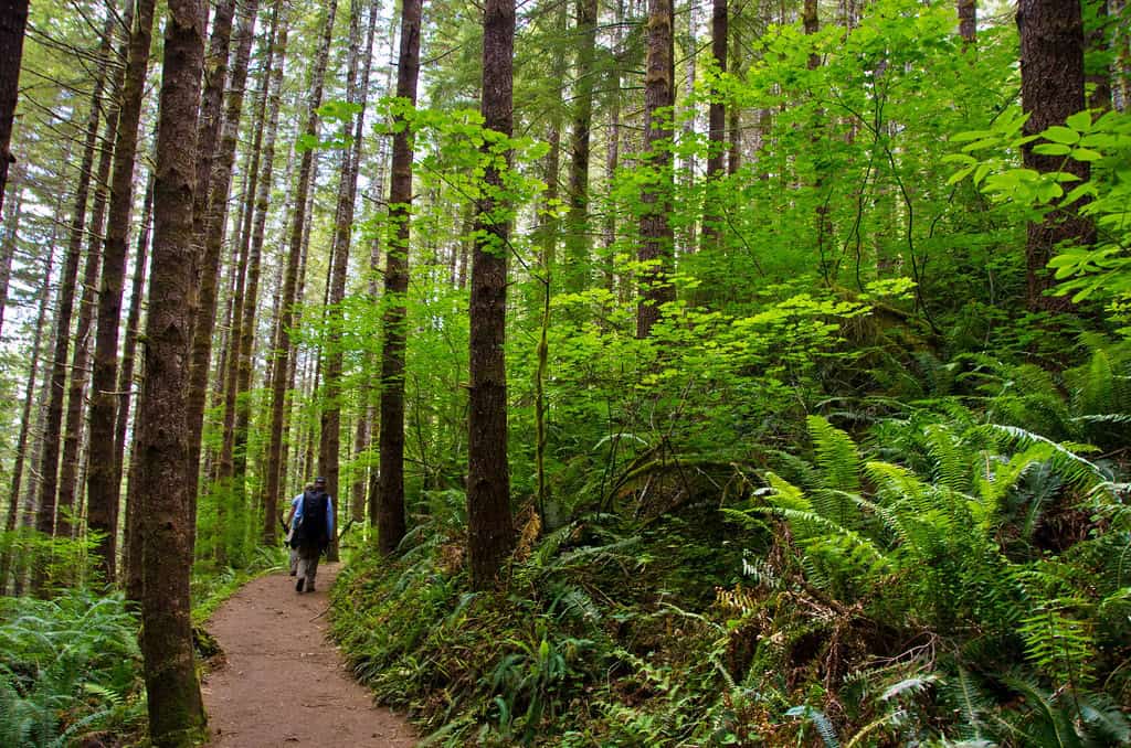
Drift Creek Falls
©"Drift Creek Falls Trail, Siuslaw National Forest" by Forest Service Pacific Northwest Region is licensed under PDM 1.0. - Original / License
- Location: Oregon Coast Range
- Distance: About 3 miles
A suspension bridge over a forested canyon makes Drift Creek Falls more memorable than its mileage suggests. The route is generally easy to follow, but the descent means climbing back out afterward. Wear shoes that handle mud, and check Forest Service notices for road access and trail conditions.
Franklin Falls
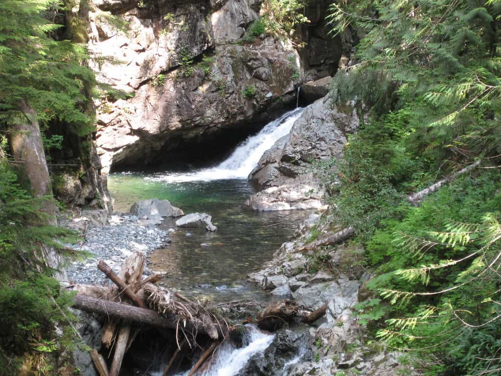
©"Franklin Falls hike" by Wildcat Dunny is licensed under BY 2.0. - Original / License
- Location: Snoqualmie Pass area
- Distance: About 2 miles in normal summer access conditions
Franklin Falls is a short summer hike to a powerful waterfall, but its mileage changes when winter road closures push parking farther away. Snow season also brings avalanche hazards, so do not treat this as an easy year-round solo outing. Even in summer, the final approach can be wet and slippery.
Mirror Lake
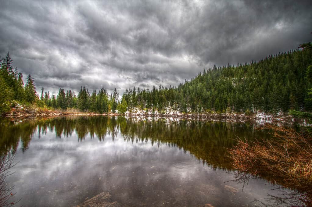
©"Mirror Lake, Oregon" by AleGranholm is licensed under BY 2.0. - Original / License
- Location: Mount Hood
- Distance: About 4 miles
Mirror Lake is popular for good reason: on a clear day, Mount Hood reflects in the water. The route is manageable in snow-free weather, though the climb is steady rather than flat. In winter and spring, snow can obscure the path, so check trail conditions and bring equipment appropriate to the season.
Kendall Katwalk
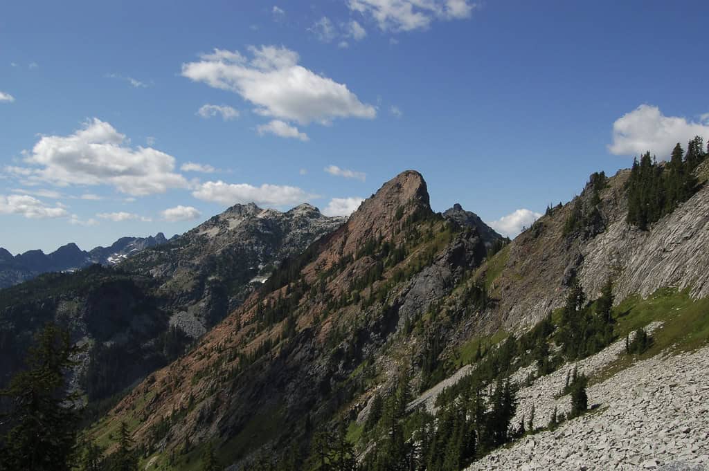
©"Kendall Katwalk" by kevin_oneill is licensed under BY-ND 2.0. - Original / License
- Location: Snoqualmie Pass
- Distance: About 11 to 12 miles
Kendall Katwalk is an ambitious Pacific Crest Trail day hike with big alpine scenery and a narrow blasted ledge. It is best reserved for experienced, well-prepared hikers in reliably snow-free conditions, not someone looking for an easy first solo outing. Snowfields, exposure, and the long return make turning around early a sensible option.
Smith Rock Misery Ridge Loop
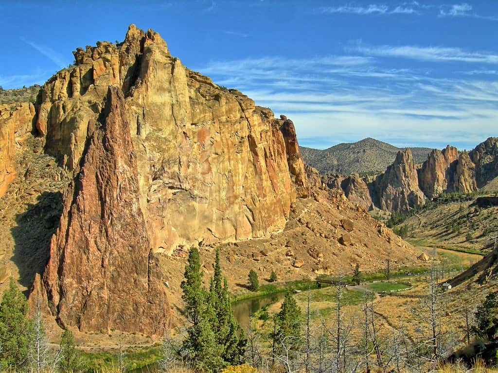
©"Smith Rock State Park Eastern Oregon" by Kirt Edblom is licensed under BY-SA 2.0. - Original / License
- Location: Terrebonne
- Distance: About 3.5 to 4 miles, depending on route
Misery Ridge lives up to its name on the way up, with steep switchbacks and little shade. The payoff is an unforgettable view of Smith Rock’s cliffs and the Crooked River. Start early in hot weather, carry more water than you think you need, and watch your footing on loose gravel.
Snow Lake
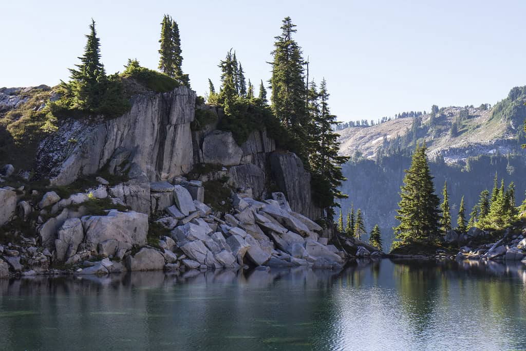
©"Lake and Cliff in the Alpine Lakes Wilderness, Mt Baker Snoqualmie National Forest" by Forest Service Pacific Northwest Region is licensed under PDM 1.0. - Original / License
- Location: Alpine Lakes Wilderness near Snoqualmie Pass
- Distance: About 7 miles
Snow Lake draws crowds in summer, but its approach crosses serious avalanche terrain when snow is present. It should never be sold as a safe winter solo hike simply because it is popular. Save this one for suitable snow-free conditions, check the forecast, and expect a sustained climb on the return.
Angel’s Rest
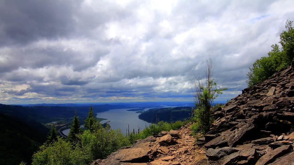
©"Angel's Rest Hike" by billautomata is licensed under BY 2.0. - Original / License
- Location: Columbia River Gorge
- Distance: About 4.5 to 5 miles
Angel’s Rest delivers a sweeping Gorge panorama after a steep climb through recovering forest. The summit area has exposed drop-offs, and the route can be slippery in rain or ice. For a solo hike, stick to daylight hours, bring layers for the wind, and resist the temptation to scramble toward the edge for a photo.
Heather Lake
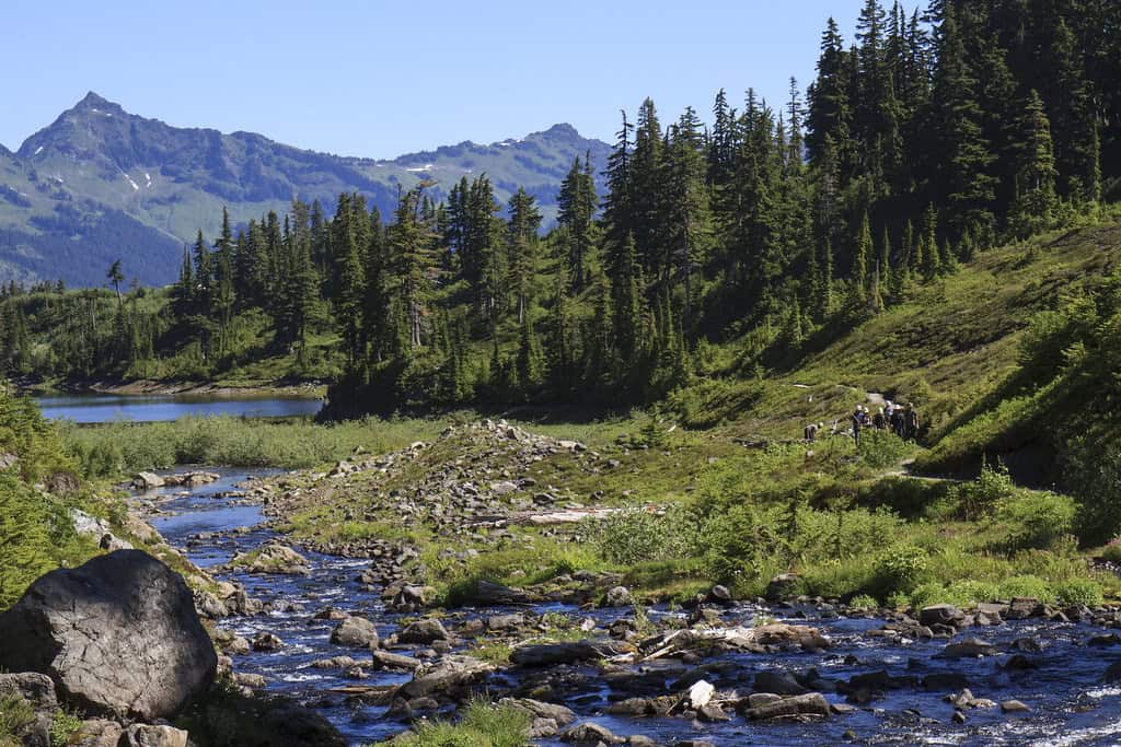
©"Volunteer Work Crew walking at Heather Lake, Mt Baker Snoqualmie National Forest" by Forest Service Pacific Northwest Region is licensed under PDM 1.0. - Original / License
- Location: Mountain Loop Highway near Granite Falls
- Distance: About 4.5 miles
Heather Lake combines a forest climb with an alpine basin tucked below rugged peaks. Roots, rocks, and wet boardwalks make the trail rougher than the mileage implies. Snow can linger well into the hiking season, so check recent reports and avoid entering steep snow terrain without the right experience.
Spencer Butte
- Location: Eugene
- Distance: About 2 to 3 miles, depending on route
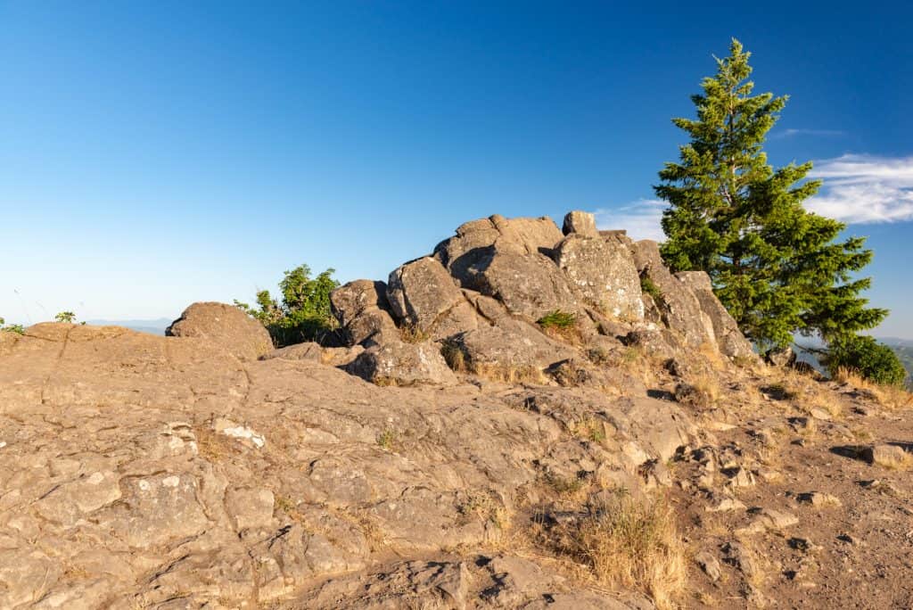
Spencer Butte is a convenient way to trade city streets for a summit view without spending an entire day on the trail. Several routes reach the top, and the upper steps can be steep and slippery. Pick a signed route suited to your fitness, and be prepared for wind and uneven rock at the summit.
Ebey’s Landing
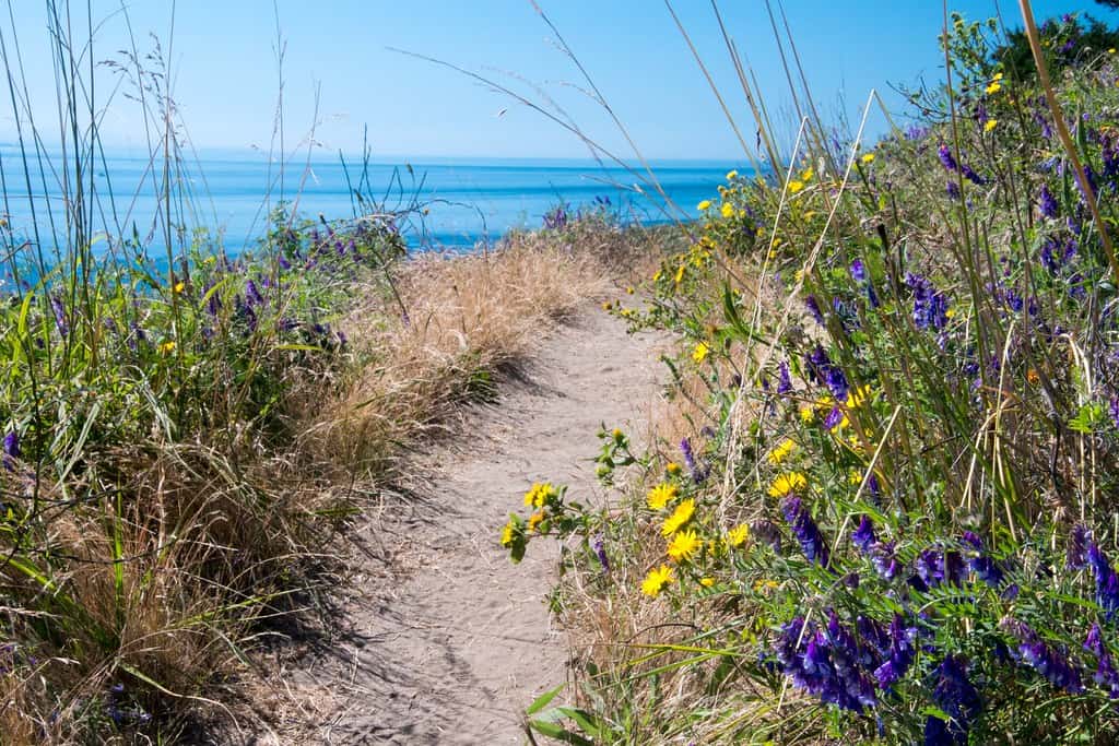
©"Summer flowers along the Pacific Northwest Trail on Ebeys Landing" by Forest Service Pacific Northwest Region is licensed under PDM 1.0. - Original / License
- Location: Whidbey Island
- Distance: About 5.5 miles for the bluff-and-beach loop
Ebey’s Landing pairs sweeping Salish Sea views with a walk along the beach below the bluff. It is scenic and relatively easy to navigate, but the beach portion depends on tide and surf conditions. Check tide tables first, and stay away from unstable bluff edges.
Opal Creek Trail — access restricted
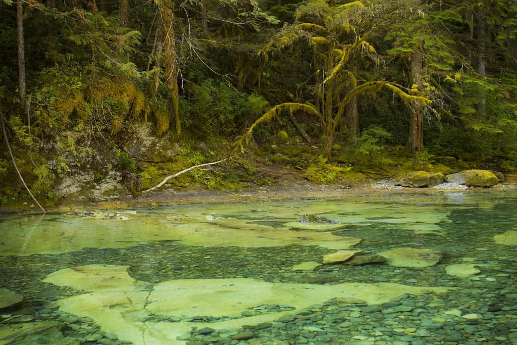
©"Three Pools in the Opal Creek Wilderness area, Oregon" by Bonnie Moreland (free images) is licensed under PDM 1.0. - Original / License
- Location: Willamette National Forest
- Distance: Original route about 6 miles; not currently a standard hike
Opal Creek is known for old-growth forest and clear pools, but wildfire damage and ongoing access restrictions make this a poor choice for a current solo-hiking itinerary. The access road and trail have not fully reopened as of 2026, with reopening anticipated in 2027. Keep this on a future-trip list and consult the Forest Service before planning a visit.
Discovery Park Loop
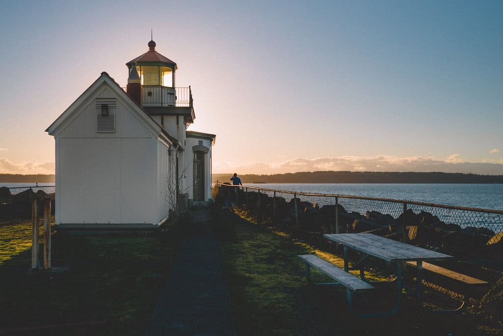
©"West Point Lighthouse" by Ari He is licensed under BY-SA 2.0. - Original / License
- Location: Seattle
- Distance: About 2.8 miles for the loop
Discovery Park is a good starting point for a solo walk, with forest, meadows, and bluff views inside Seattle city limits. The main loop does not itself reach the beach or West Point Lighthouse; getting there requires an additional descent and return climb. Follow posted park guidance and give the bluff edges plenty of room.

