
It’s basically just walking. What could go wrong, right? Some routes look entirely manageable on paper. A well-worn path, crowds of other hikers, views that make the effort seem straightforward. That familiarity can hide serious terrain.
The hazards on these hiking destinations and mountain routes include exposed ridgelines, lightning above treeline, flash floods in narrow canyons, swift water, rockfall, and fast-changing weather. Several have long histories of fatal accidents, and all have documented hazards that can become life-threatening depending on the route, season, conditions, and a hiker’s preparation.
Angels Landing, Zion National Park
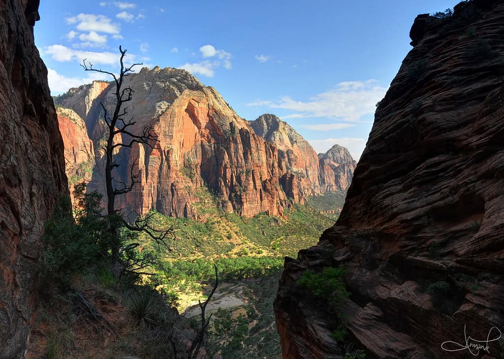
©"Descending Angel's Landing, Zion National Park, Utah" by tsaiproject is licensed under BY 2.0. - Original / License
Angels Landing is one of the most popular destinations in Zion National Park. The final portion beyond Scout Lookout is narrow and exposed, with some sections less than three feet wide and steep drop-offs. Fatal falls have occurred on the route over the years.
The last segment of the journey to the summit follows a narrow sandstone ridge with chains installed to assist hikers. The National Park Service implemented a permit program in 2022 after growing visitation and safety concerns on the exposed section. On April 17, 2026, Gilberto Ramos, 68, of Laredo, Texas, died after falling from the chained section at about 2 p.m. Rescuers located him on the north side of Angels Landing near Big Bend, and the National Park Service and Washington County Sheriff’s Office investigated the incident.
Half Dome, Yosemite National Park
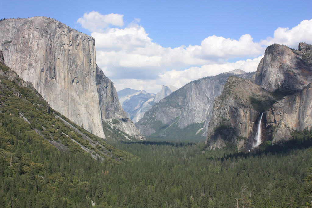
©"Yosemite National Park, El Capitan, Half Dome, and Bridalveil Fall, from Tunnel View" by Arian Zwegers is licensed under BY 2.0. - Original / License
The two metal cables on Half Dome help hikers climb the final 400 feet to the summit without rock-climbing equipment. The National Park Service says relatively few people have fallen and died on the cables since 1919, but nearly all fatal falls from the cable route have occurred when the rock was wet. Wet granite and the cables can become very slick, and the park tells hikers not to attempt the ascent when the ground is wet or storm clouds are nearby.
Lightning is another real danger. In July 1985, lightning on Half Dome killed two people and injured three others. Yosemite warns that thunderstorms are most common in the afternoon and that the summit is a dangerous place during a lightning storm.
Kalalau Trail, Nāpali Coast
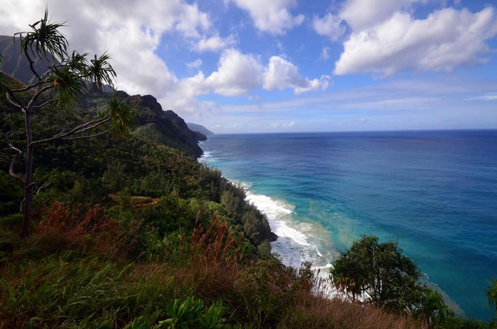
©"Kalalau Trail" by Geordie Mott is licensed under BY-ND 2.0. - Original / License
The Kalalau Trail stretches 11 miles along Kauaʻi’s dramatic Nāpali Coast. The first two miles reach Hanakāpīʻai, where Hawaiʻi’s Division of State Parks warns that swimming or wading at Hanakāpīʻai Beach can be dangerous because the surf and rip currents are variable and often extremely treacherous. The agency says drownings occur there regularly, and a 2020 Hawaiʻi Department of Land and Natural Resources release said dozens of people had drowned in Hanakāpīʻai Valley over the years.
Stream crossings after heavy rain are also dangerous. The Hawaiʻi Department of Land and Natural Resources says flooded Hanakāpīʻai Stream has claimed numerous lives when people attempting to cross were swept toward the sea. On January 14, 2024, 30-year-old Matthew Wu of New York died after apparently falling from Hanakāpīʻai Falls Trail. Kauaʻi County said he was found about 30 feet below Hanakāpīʻai Falls. The postcard version and the post-rain version of this trail are completely different hikes.
Capitol Peak Knife Edge, Colorado
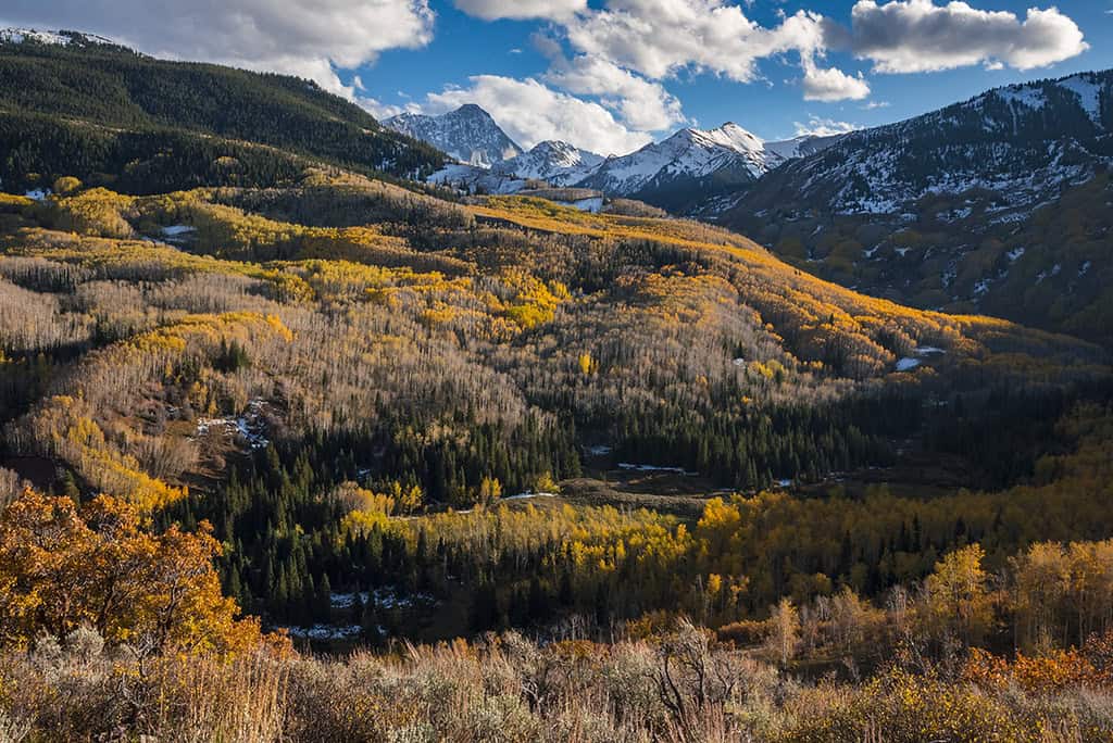
©"Capitol Peak and Creekway, Autumn (Fall Colors)" by Exeligmos Photography is licensed under BY-ND 2.0. - Original / License
Five people died on Capitol Peak within a six-week span in the summer of 2017. According to the American Alpine Club, the standard northeast-ridge route is a 17-mile round trip that finishes with exposed Class 4 terrain. The final approach crosses the Knife Edge and follows the East Ridge, where the Colorado Fourteeners Initiative warns of significant exposure and dangerous loose rock.
Capitol Peak is one of Colorado’s 14ers, and the Colorado Fourteeners Initiative describes it as one of the most difficult and demanding. Parts of the approach are marked, including the route toward the Daly-Capitol saddle, but the summit route still demands strong scrambling, route-finding, and mountaineering experience.
Mount Washington, New Hampshire
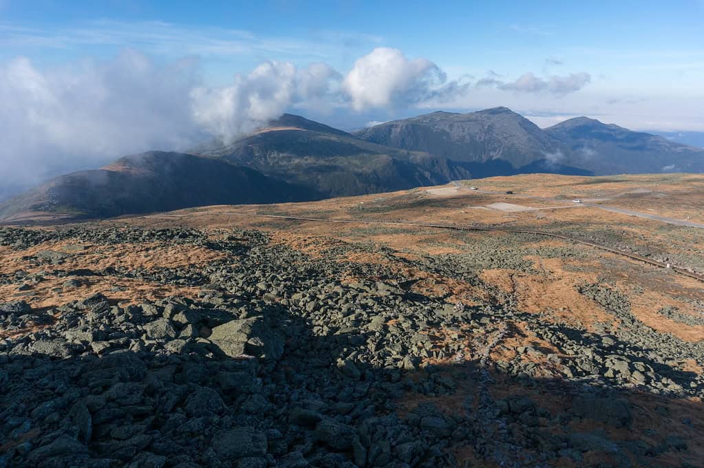
©"Mount Washington, New Hampshire" by rjshade is licensed under BY 2.0. - Original / License
The first recorded fatality associated with Mount Washington dates to 1849, when Frederick Strickland became lost while descending in a storm and died in Ammonoosuc Ravine. The mountain’s famous 231 mph wind gust was measured on April 12, 1934. A higher wind speed was later recorded in Australia, but Mount Washington Observatory says the 231 mph measurement remains the fastest wind speed ever recorded by a staffed weather station.
The problem compounds on the Presidential Traverse, a long route across several high peaks in the Presidential Range. Hikers can spend hours in exposed alpine terrain, where fog, high winds, cold, and fast-changing weather can turn a mild day at lower elevations into a much more serious outing.
North Cascades National Park, Washington
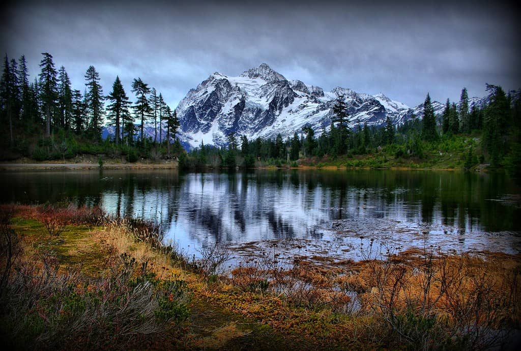
©"Shucksan in her Glory in the North Cascades" by Andrew E. Larsen is licensed under BY-ND 2.0. - Original / License
North Cascades National Park is defined by rugged, remote terrain and rapidly changing mountain conditions. The National Park Service warns visitors not to depend on cell service and notes that a rescue effort can take hours or days depending on the weather and terrain.
The park has more than 300 glaciers, and climbing routes can involve crevasses, rock and ice fall, avalanche terrain, icy streams, steep snow, difficult cross-country travel, and volatile weather. Those hazards, combined with limited communications and remote access, make preparation especially important.
Havasupai Trail, Arizona
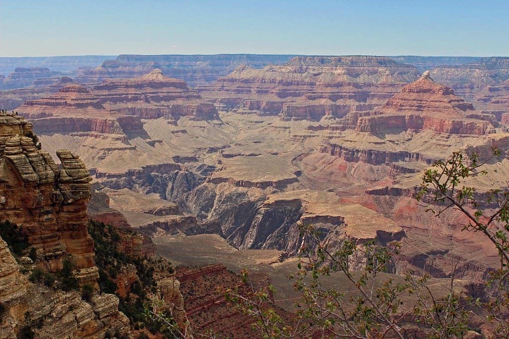
©"the grand canyon" by scott1346 is licensed under BY 2.0. - Original / License
The route into Havasu Canyon begins at Hualapai Hilltop. The National Park Service lists the hike as eight miles one way to Supai and another two miles to the campground. The Havasupai Tribe administers the land, which lies outside the boundary and jurisdiction of Grand Canyon National Park, and reservations are required for all hikers and campers. Havasu Canyon is subject to flash floods, with documented flood damage in 2018, 2019, 2022, and 2024.
On August 22, 2024, a flash flood struck Havasu Creek shortly before 1:30 p.m. Chenoa Nickerson, 33, of Gilbert, Arizona, was swept into the creek about half a mile above the Colorado River confluence. Her body was found on August 25 near river mile 176 in the Colorado River. Current 2026 guidance requires reservations for Havasu Canyon and warns that immediate closures are possible when conditions require them.
Mist Trail to Nevada Fall, Yosemite
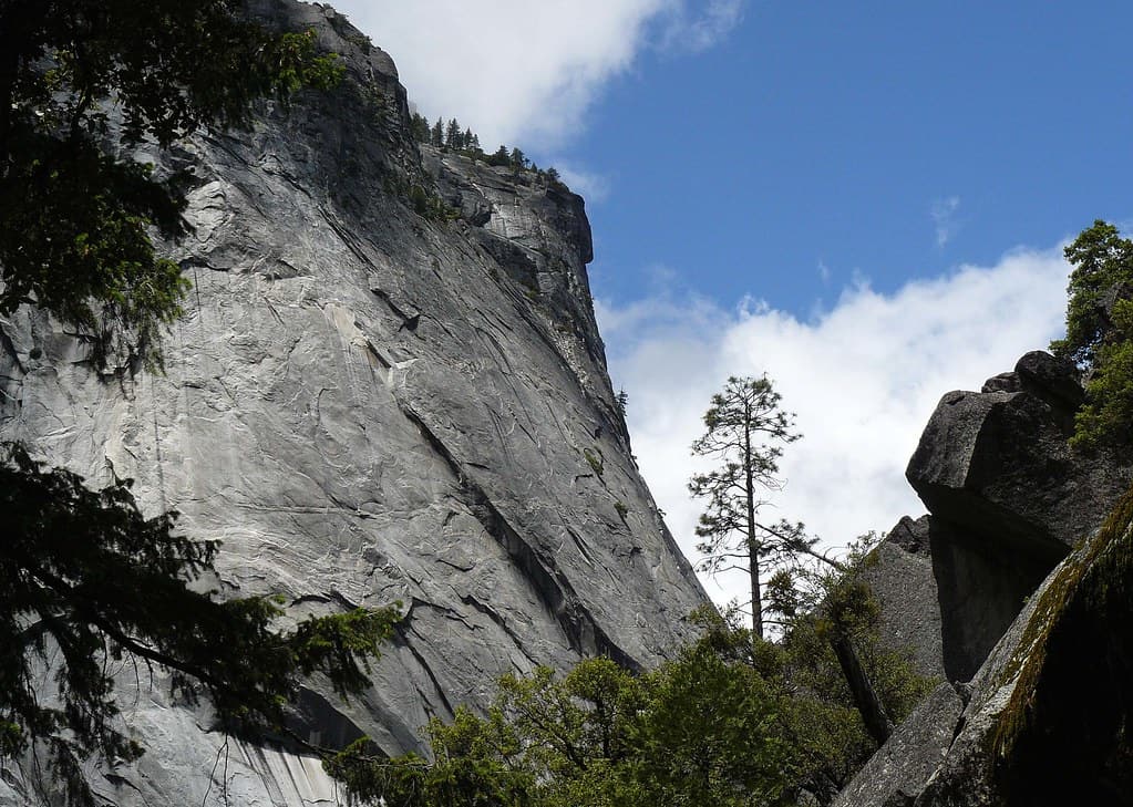
©"Yosemite Granite from Mist Trail" by docentjoyce is licensed under BY 2.0. - Original / License
The Mist Trail follows the Merced River past Vernal Fall and continues toward Nevada Fall. The water here has caused fatal accidents. In July 2011, three visitors were swept over the 317-foot Vernal Fall after crossing a metal guardrail into fast-moving water. Yosemite noted that the area was signed as dangerous.
The trail itself can be slick, too. The approach to Vernal Fall includes more than 600 steep granite steps that can be wet with waterfall spray, especially in spring and early summer. The National Park Service tells hikers to stay on the established trail, not swim or wade in the river, and observe warning signs and railings. Vernal Fall drops 317 feet, while Nevada Fall drops 594 feet.
Barr Trail, Pikes Peak, Colorado
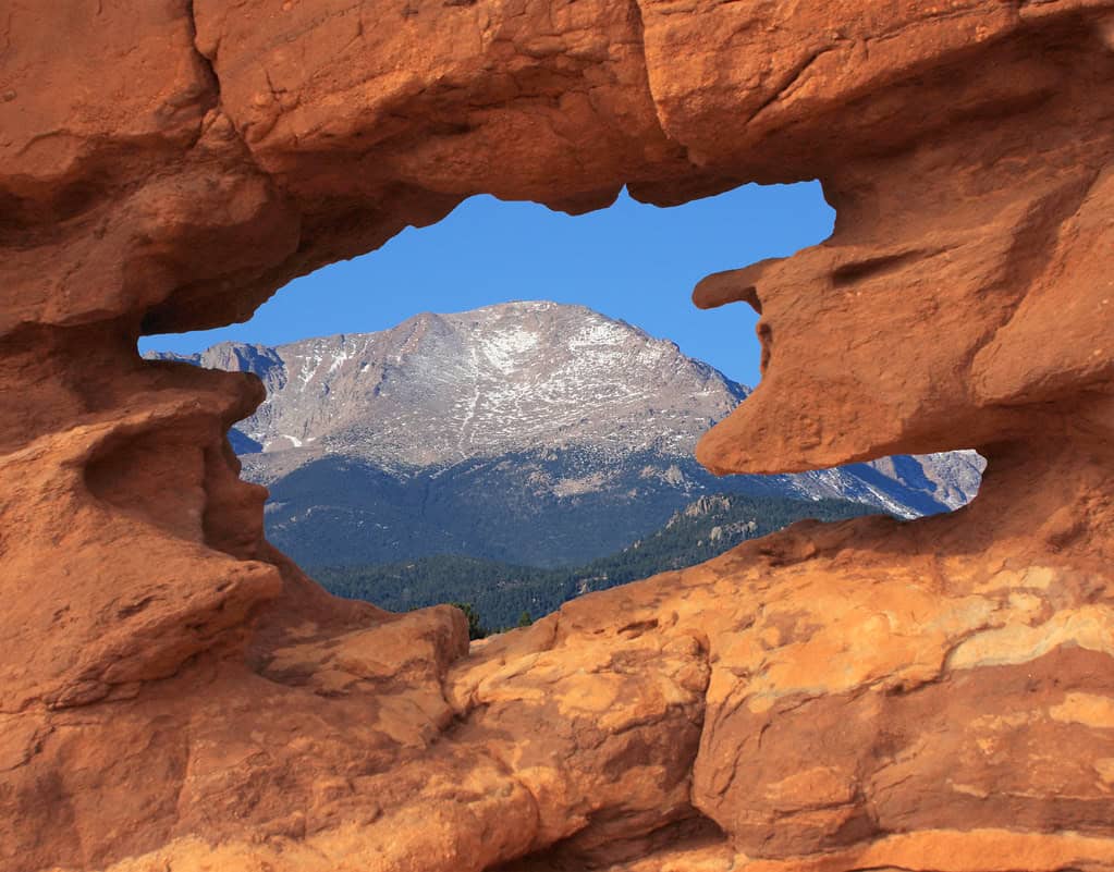
©"Pikes Peak Mountain" by Beverly & Pack is licensed under BY 2.0. - Original / License
The Barr Trail runs 13 miles one way from Manitou Springs to the summit of Pikes Peak and gains about 7,400 feet, according to the Colorado Fourteeners Initiative. It is a very long day hike, and the upper route takes hikers into exposed high-elevation terrain where conditions can change quickly.
Lightning is a serious Colorado hazard. National Weather Service data show that Colorado ranked third in the nation for lightning fatalities from 2006 through 2024, behind Texas and Florida, and El Paso County has recorded the most lightning casualties in the state since 1980. The National Weather Service says most lightning deaths and injuries in Colorado occur during the afternoon, which makes an early start especially important on exposed high-elevation routes.
Denali, Alaska
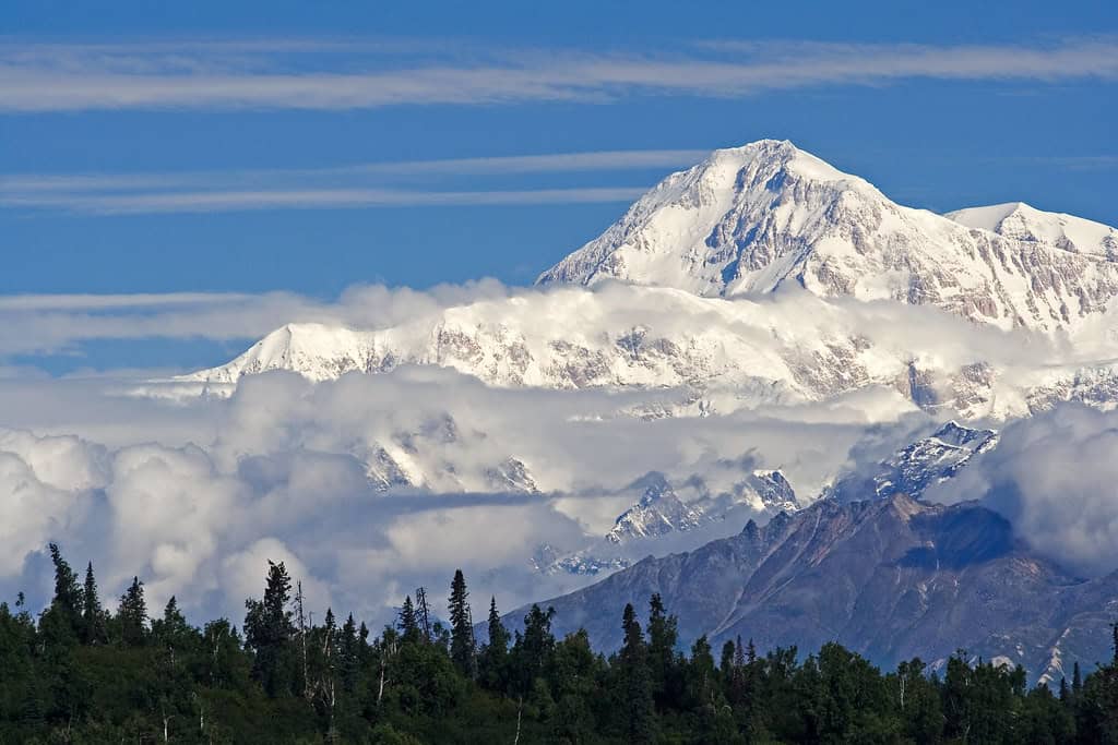
©"Denali from McKinley Princess Lodge, right" by Unhindered by Talent is licensed under BY-SA 2.0. - Original / License
The mountain is currently designated Mount McKinley for federal use and is also widely known as Denali. At 20,310 feet, it is the highest mountain in North America. The National Park Service reported in 2025 that more than 130 deaths had been recorded on the mountain in the history of the park. Summit success varies by year; preliminary National Park Service figures for 2026 showed 582 summits among 976 registered climbers, a 60% success rate.
All registered climbers on Mount McKinley and Mount Foraker are required to attend an orientation at the Walter Harper Talkeetna Ranger Station, and advance registration and a special-use permit are required. Search and rescue support is available, including high-altitude helicopter operations, but weather, terrain, and mountain conditions can delay or limit access. The 2026 season was particularly tragic, with five climbers losing their lives on the West Buttress.

