
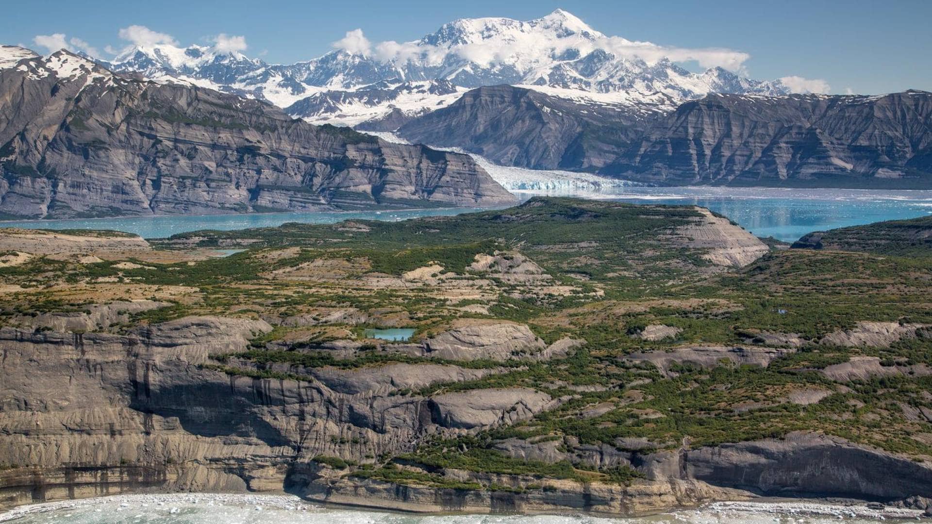
Americans are used to thinking big, but some places reach a point where “big” stops being a useful measurement. Denver International Airport covers 53 square miles. A single California county covers more ground than nine entire states. Mammoth Cave has more than 426 mapped miles underground. And up in Alaska, one national park is roughly the same size as Yellowstone, Yosemite, and Switzerland combined.
At a certain point, the numbers become so large that your brain basically files them under “a whole lot.” So we went looking for American places whose actual dimensions are stranger than they sound, from a Texas ranch covering 825,000 acres to a Hawaiian volcano measuring roughly 55,700 feet from its submerged base to its summit. These 10 places are not merely large. They operate on a scale that is genuinely difficult to picture until you start putting the numbers next to something familiar.
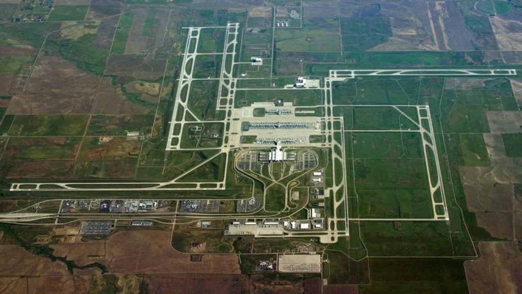
Denver International Airport Covers 53 Square Miles
©US Dept of Transportation
Denver International Airport does not feel like an airport so much as a small city that happens to have runways. DEN says its property covers 53 square miles, or about 34,000 acres, making it the largest airport site in North America. The airport notes that its land area is roughly twice the size of Manhattan and larger than the city boundaries of Miami or San Francisco. It also has about 300 lane miles of roads winding through the property. The terminal, concourses, parking lots, runways, maintenance areas, and undeveloped land all contribute to that enormous footprint. Most travelers only see a fraction of it on the way from security to the gate, which makes the full number even harder to picture. Fifty-three square miles is a lot of room to lose your rental car.
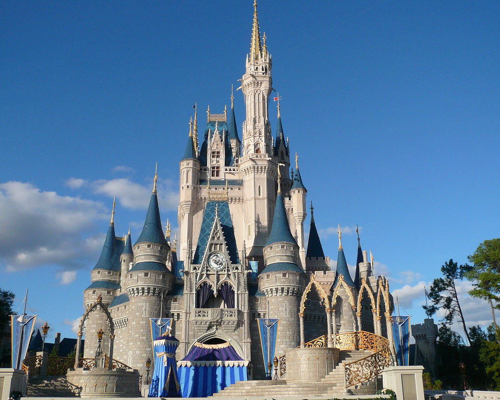
Walt Disney World Spans About 25,000 Acres
©"Early Morning at Cinderella Castle Magic Kingdom Walt Disney World 2008" by mrkathika is licensed under BY-SA 2.0. - Original / License
Walt Disney World is not just a collection of theme parks. It is a sprawling resort complex covering approximately 25,000 acres southwest of Orlando, according to The Walt Disney Company’s 2025 annual report. That works out to roughly 39 square miles. Inside that footprint are Magic Kingdom, EPCOT, Disney’s Hollywood Studios, Disney’s Animal Kingdom, resort hotels, vacation club properties, Disney Springs, campgrounds, golf courses, sports facilities, conference space, and two water parks. Disney originally purchased more than 27,000 acres for its Florida project in the 1960s, which helps explain why the resort still has so much breathing room between attractions. You can spend an entire vacation there and never come close to seeing the property as a whole. At that scale, calling it a theme park feels almost unfairly small.
King Ranch Covers 825,000 Acres of South Texas
©Texas Ranch Life
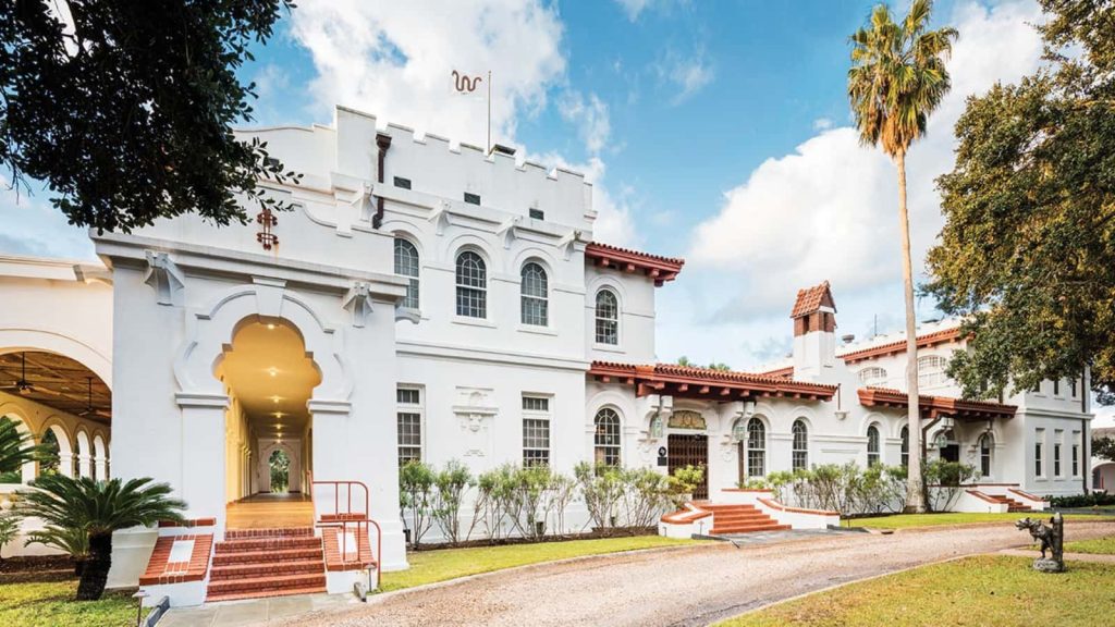
King Ranch started in 1853 with Captain Richard King’s purchase of a creek-fed property in South Texas. It did not stay small. Today, the ranch says it covers about 825,000 acres, which is roughly 1,290 square miles. That is an almost comical amount of land for one ranching operation. The property is spread across multiple divisions rather than sitting in one neat square, but the overall scale is what matters here. King Ranch remains a working agribusiness with cattle, horses, farming, wildlife habitat, and other operations tied to the land. The ranch itself says its acreage exceeds the land area of Rhode Island. Even if you have driven across Texas and think you understand what “big” means, 825,000 acres is the kind of number that makes a fence line feel theoretical.
Adirondack Park Encompasses About 6 Million Acres
©US Park Service
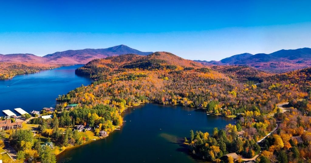
New York’s Adirondack Park is so large that the word “park” can be misleading. The Adirondack Park Agency says its boundary covers approximately 6 million acres, making it the largest publicly protected area in the contiguous United States. It is larger than Yellowstone, Everglades, Glacier, and Grand Canyon national parks combined. Unlike a traditional national park, though, the Adirondacks contain a patchwork of public and private land, including towns, homes, farms, forests, and businesses. Around 123,000 people live within its 101 towns and villages year-round. The landscape also contains more than 3,000 lakes and about 30,000 miles of rivers and streams. This is not a place you simply “do” in an afternoon. It is a huge inhabited region with mountains, communities, wilderness, and waterways all sharing the same blue-line boundary.
San Bernardino County Covers 20,105 Square Miles
©Maps of the US
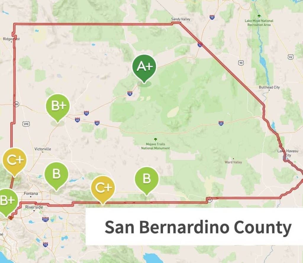
A single Southern California county covers more ground than nine entire states. San Bernardino County reports an area of 20,105 square miles, making it the largest county in the contiguous United States. Its borders stretch from the eastern edge of the Los Angeles region across mountains and enormous sections of Mojave Desert to Nevada and the Colorado River. The county includes 24 incorporated cities, but huge portions of the map are sparsely populated desert, public land, and mountain country. To put the size in perspective, states including New Jersey, Massachusetts, Hawaii, Maryland, Vermont, New Hampshire, Connecticut, Delaware, and Rhode Island are all smaller in total area. You can drive for hours inside San Bernardino County and still be in San Bernardino County. Southern California usually brings to mind dense development. This part of it is operating on an entirely different scale.
Death Valley National Park Tops 3.4 Million Acres
©"Death Valley" by peretzp is licensed under BY-SA 2.0. - Original / License
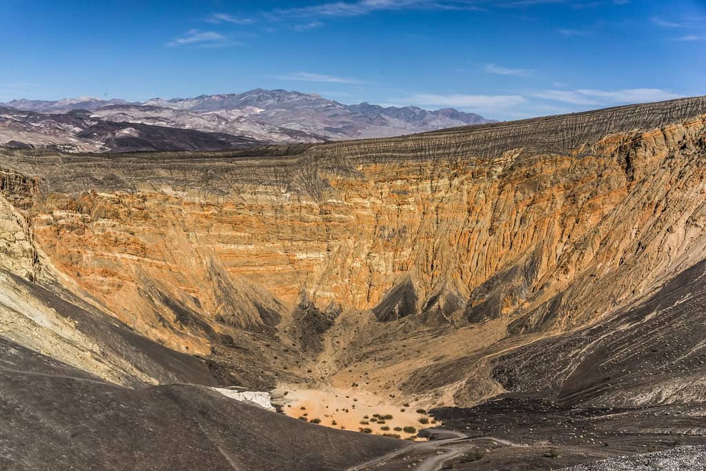
Death Valley already looks enormous from a viewpoint, but the map is even more ridiculous. After a 2019 land transfer, the National Park Service listed the park at 3,422,024 acres, making it the largest national park in the lower 48 states. That is more than 5,300 square miles of desert, salt flats, mountains, canyons, dunes, and wilderness spread across California and Nevada. NPS has described the park as nearly the size of Connecticut. Its vertical range is impressive too. Badwater Basin sits 282 feet below sea level, while Telescope Peak rises more than 11,000 feet above sea level. Travelers can cover long distances between major sights and still barely scratch the surface. This is one of those places where looking at the mileage before leaving the hotel is not optional. “It’s in the same park” does not necessarily mean “it’s nearby.”
The Grand Canyon Runs for 277 Miles
©"Grand Canyon" by Paul Fundenburg is licensed under BY 2.0. - Original / License
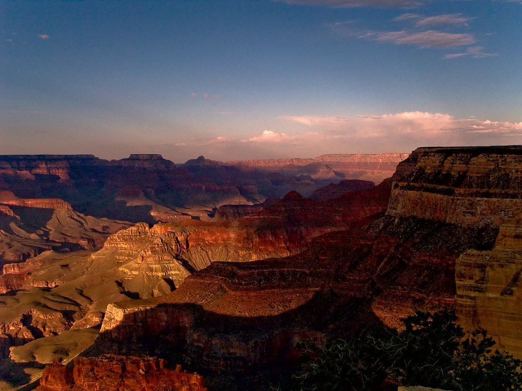
The Grand Canyon is familiar enough that its scale can become background noise, right up until the numbers are written down. Grand Canyon National Park encompasses 277 miles of the Colorado River. The canyon itself reaches up to 18 miles across and more than a mile deep in places. Standing at the rim gives you an enormous view, but even that is only a small slice of a landform stretching across northern Arizona. The canyon’s size also explains why two points that look close on a map can require a major drive. The South Rim and North Rim face each other across the canyon, but there is no road straight across it. Visitors have to travel around the canyon instead. A mile deep, 18 miles wide, and hundreds of miles long is the sort of geography that makes normal road-trip instincts stop working.
Mammoth Cave Has More Than 426 Mapped Miles
©iStock.com/zrfphoto
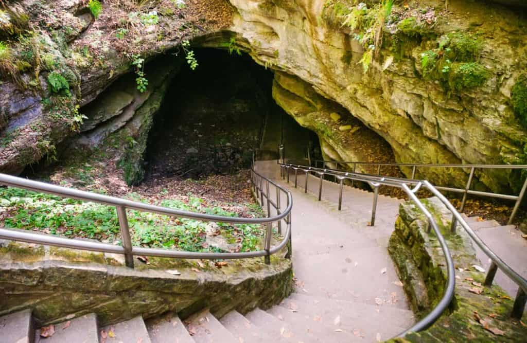
Mammoth Cave’s name is doing a lot of work, and somehow it still undersells the place. The National Park Service says explorers have surveyed and mapped more than 426 miles of passage in Kentucky’s Mammoth Cave system, making it by far the longest known cave system in the world. And that is only the portion people have documented so far. NPS notes that explorers continue finding new passages. Visitors on public cave tours see only a tiny fraction of the underground network, which is probably for the best unless you packed several days of snacks. The park above ground covers about 52,830 acres, but the statistic that really bends the brain is underground. Four hundred twenty-six miles is not one giant tunnel. It is a sprawling three-dimensional maze of passages, chambers, shafts, and connections hidden beneath south-central Kentucky.
Mauna Loa Measures About 55,700 Feet From Base to Summit
©"1984 Mauna Loa Eruption" by U.S. Geological Survey is licensed under CC0 1.0. - Original / License
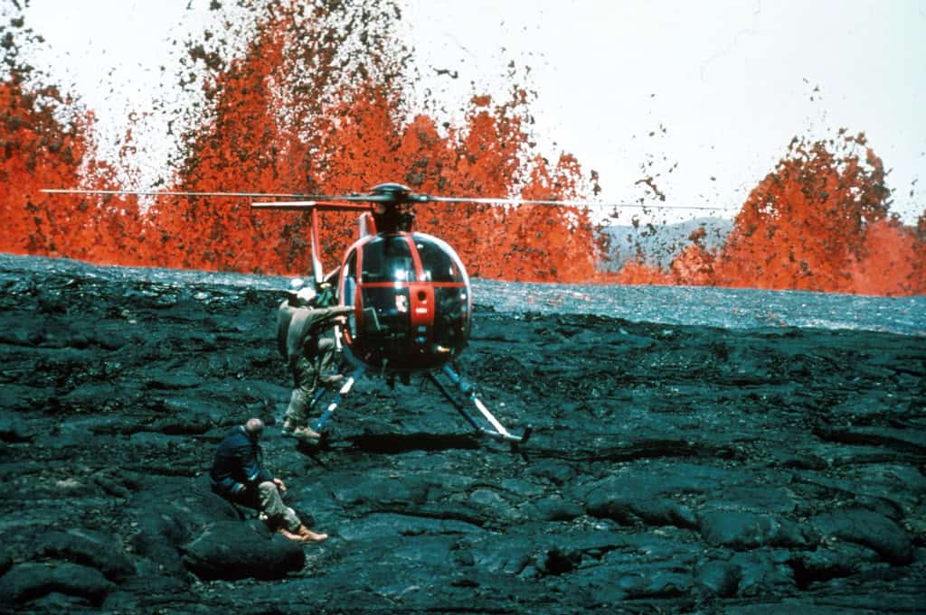
Mauna Loa rises 13,679 feet above sea level, which is impressive but nowhere close to the full story. The U.S. Geological Survey calls it the largest active volcano on Earth. Its flanks continue roughly 16,400 feet below sea level to the ocean floor, and the volcano’s tremendous weight depresses the seafloor beneath it by another roughly 26,200 feet. Measured from that base to the summit, USGS says Mauna Loa is about 55,700 feet tall. It also covers just over half of the Island of Hawaii. The mountain is so broad that its slopes can feel gentle from the ground, making it surprisingly easy to forget that you are standing on one gigantic active volcano. Everest wins the familiar above-sea-level contest, but Mauna Loa is playing a very different game once you include what is hidden below the Pacific.
Wrangell-St. Elias Covers 13.2 Million Acres
©"Hubbard Glacier, Wrangell-St. Elias National Park & Preserve" by AlaskaNPS is licensed under BY 2.0. - Original / License
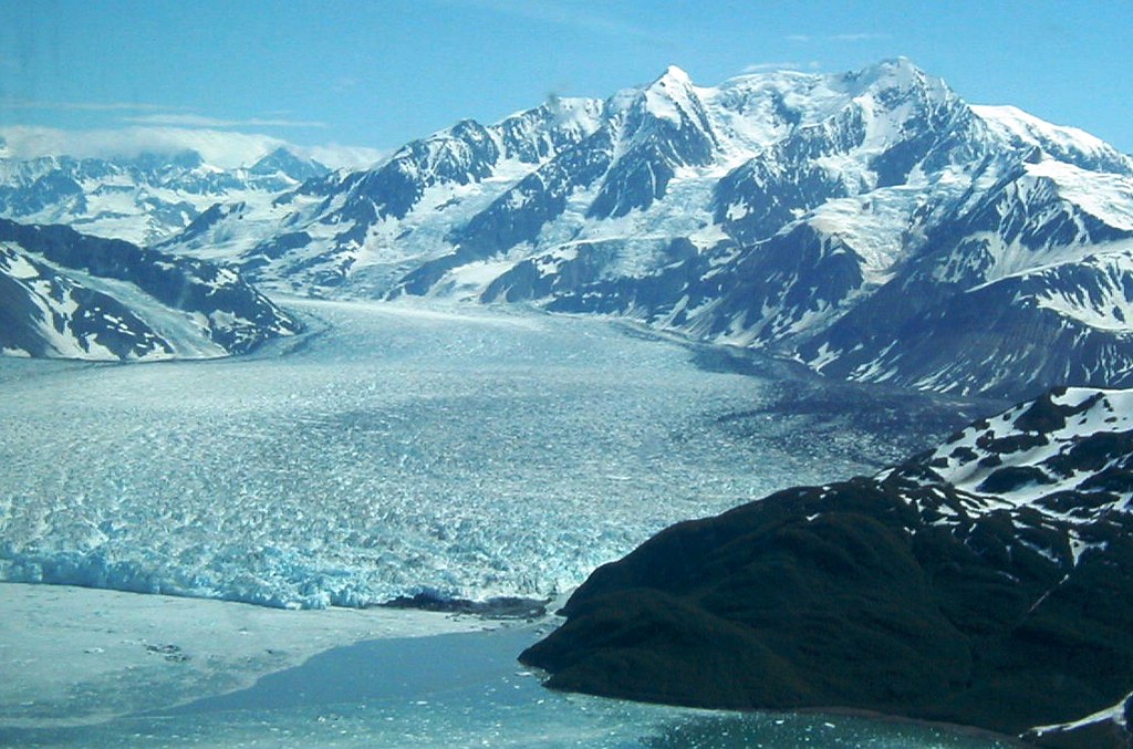
If the other places on this list seem oversized, Wrangell-St. Elias National Park and Preserve is where the scale starts feeling made up. The National Park Service says the Alaska park covers 13.2 million acres, making it the largest unit in the national park system. NPS offers an especially useful comparison: Wrangell-St. Elias is roughly the same size as Yellowstone National Park, Yosemite National Park, and the entire country of Switzerland combined. The landscape rises from the ocean to 18,008 feet and contains more than 3,000 glaciers covering over 3 million acres. Roads reach only limited portions of the park, so much of that territory remains remote backcountry. At more than 20,000 square miles, this is not a park you finish. It is a chunk of Alaska so large that several famous destinations can fit inside the comparison and it still sounds wrong.

