
The drives around Seattle fill up fast. These seven routes don’t have that problem, and those in the know would prefer to keep it that way. Some involve taking a ferry. Some run through canyons that don’t lead anywhere famous enough to draw a crowd. One follows a saltwater fjord bypassed by tourists heading elsewhere. What they all have in common is what the locals cherish most: the ability to pull over and hear something other than other people.
Vashon Island Perimeter Loop
©"Vashon Island Sunrise" by Andrew E. Larsen is licensed under BY-ND 2.0. - Original / License
Getting to Vashon requires taking the Washington State Ferry from Fauntleroy in West Seattle. Apparently, that’s enough of a barrier to keep most tourists from bothering. The crossing takes roughly fifteen minutes. There are no stoplights and no hotels once you’re off the boat.
The perimeter road circles an island the size of Manhattan. It takes roughly forty minutes without stops, though stopping is the whole point. The eastern shore overlooks Puget Sound with Mount Rainier visible on sunny days. The western shore is lined with madrones and firs along Colvos Passage.
Vashon Island has no ambitions to be discovered, and that’s the point. The locals here are usually artists, farmers, and people who wanted to escape wherever you came from.
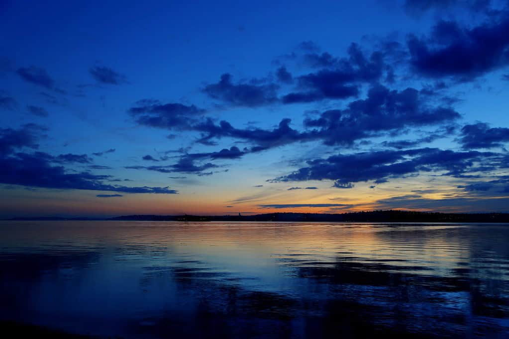
Hood Canal Scenic Byway (SR 101 South)
©"Hood Canal Shoreline" by Jonathan Miske is licensed under BY-SA 2.0. - Original / License
Hood Canal is a natural fjord that runs along the eastern edge of the Olympic Peninsula. The drive along its shore on SR 101 south of Hoodsport is one of the prettiest roads in the state of Washington and doesn’t have a famous endpoint or an Instagram landmark pulling people in. What you’ll get is fifty miles of saltwater views and a mountain backdrop from the Olympic Mountains that changes color by the hour.
The tourists blow past this stretch headed for Hurricane Ridge or the Hoh Rain Forest and never look left. The towns along the way, Hoodsport, Lilliwaup, Eldon, are small places where you can stop for gas and be the only person there. This canal is so deep that the Hood Canal Bridge opens on demand so that the Navy submarines can get into open waters from their base in Bangor. If you’re there on the right day, you may see one surface, but that’s not something they advertise.
Index and the North Fork Skykomish Valley Road
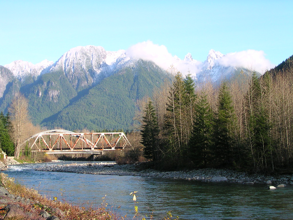
©"Iron, Spire, and Bear Mountain and Skykomish River" by brewbooks is licensed under BY-SA 2.0. - Original / License
It’s no wonder that the road to Stevens Pass along Highway 2 sees so much traffic, given that it’s featured in every scenic drive itinerary. What those roundups don’t tell you is to turn north at Index. It’s a small town wedged between the Skykomish River and a sheer granite wall called Index Town Wall.
A one-lane road follows the North Fork upstream into a canyon so tight and overhung it feels like Vermont. The river turns glacier green in the summer, making for a memorable sight.
The North Fork road dead-ends after a few miles at the trailhead, so the people on this road are only locals and climbers. You may see the occasional person who took the turn by accident and kept going, but that’s about it. Stop at the Pickett Museum if it’s open; keep going past it if it isn’t.
Darrington to Arlington via SR 530
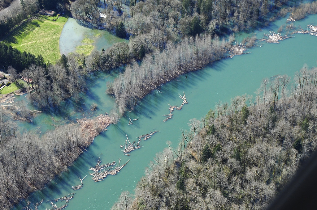
©"Aerial photo of the Stillaguamish River" by WaStateGov is licensed under BY-ND 2.0. - Original / License
SR 530 follows the Stillaguamish River east from Arlington through a river canyon with the kind of vertical terrain that never stops being dramatic. It is about 35 miles long, and there’s not much there. Just a few pull-offs, the occasional fishing access point, and second-growth forest pressing in from both sides. Darrington itself is situated at the base of Whitehorse Mountain.
This road was the site of the Oso landslide of 2014 that claimed 43 lives and destroyed a neighborhood in the valley. The memorial at the site is quiet and worth stopping for. This drive is not grim because of this, but it carries a particular character. It’s a place that has had something terrible happen, but its locals kept going. Tourists rarely come this way because there is not a single attraction that anchors the route together.
Snoqualmie Valley Road (SR 202 and 203)
©"Snoqualmie Valley" by Andrew E. Larsen is licensed under BY-ND 2.0. - Original / License
Every person driving east out of Seattle on I-90 passes directly over the Snoqualmie Valley without realizing there’s a road running through it. State routes 202 and 203 trace the valley floor from Woodinville to North Bend and follow the Snoqualmie River through farms, ranches, and small river communities that haven’t changed much since the 1980s. The drive is 35 miles and sits almost entirely in the shadow of the hills, invisible from the freeway above.
The valley is flat enough for one to feel like being in eastern Washington, except for the wall of the Cascades visible at its eastern end. The largest community on the route is Carnation, which tells you something about the scale. There are farm stands, some coffee shops, and a road that doesn’t require any planning to enjoy. If you’ve never been on the road, you’ve definitely seen it from I-90 many times without knowing what you were looking at.
Strait of Juan de Fuca Highway (SR 112)
©"Salmon Fishermen on the Juan de Fuca Strait" by eutrophication&hypoxia is licensed under BY 2.0. - Original / License
Most drivers going to the Olympic Peninsula take Highway 101 and stop around Port Angeles. SR 112 is the highway that heads west from Port Angeles and follows the shore of the Strait of Juan de Fuca, separating Washington from Vancouver Island. This highway stretches all the way to the northwest corner of the continental United States at Neah Bay and Cape Flattery. It is a 65-mile two-lane stretch of road with Canada visible the whole way.
The trip takes around two hours without stops, and most people don’t bother since going to Hurricane Ridge or taking the ferry to Victoria seems like a better way to spend their time. They’re wrong. The coastline along SR 112 is quite rocky. Neah Bay leads you to Cape Flattery, the actual northwesternmost point of the lower 48.
The Makah Museum in Neah Bay has thousands of artifacts discovered at the Ozette Archaeological Site, an ancient Makah village buried in a mudslide 300–500 years ago and excavated starting in 1970. It is one of the best small museums in the state. A Makah Recreation Permit ($20 per vehicle) is required and available at the Makah Tribal Center in town.
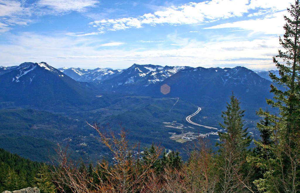
Nile Valley and Upper Naches Canyon
©"East side of Chinook Pass" by theslowlane is licensed under BY 2.0. - Original / License
The tourist version of the Chinook Scenic Byway (SR 410) focuses on the western approach: Mount Rainier and the wildflower meadows near Chinook Pass. But locals know that the eastern side of the pass, where the road drops down through the Naches River canyon toward Yakima, is the real reason to make the drive. The walls of the canyon narrow rapidly as you descend and the river runs alongside through the cottonwoods and basalt cliffs. The terrain changes from subalpine forest to high desert within thirty miles.
The Nile Valley, in particular, from Cliffdell down to the intersection with US 12 is a well-kept secret. The landslide in 2009 temporarily rerouted both the river and a section of the highway through this canyon. Traces of the landslide can still be seen.
Boulder Cave sits just off SR 410 in the Nile Valley, a lava tube formed over ten million years ago and stretching 400 feet through the rock. It’s a short walk from a signed pullout off Forest Road 1704, stays cold enough year-round to require a jacket, and requires timed entry tickets available through Recreation.gov. Virtually no one in Seattle knows it exists.
