
Washington state has over 8,000 lakes. The actual number of lakes in the state changes constantly due to glacier or snow melt, underground lava tubes that freeze and melt, and other geological causes. There are also plenty of small lakes hidden in the mountain ranges and hiking trails that are not on maps.
Whether it is a hiking destination or a place for boating with friends, Washington has no shortage of beautiful lakes for both locals and tourists to explore. Below are 10 of the biggest lakes in the state, how big they are, fun facts about them, and more.
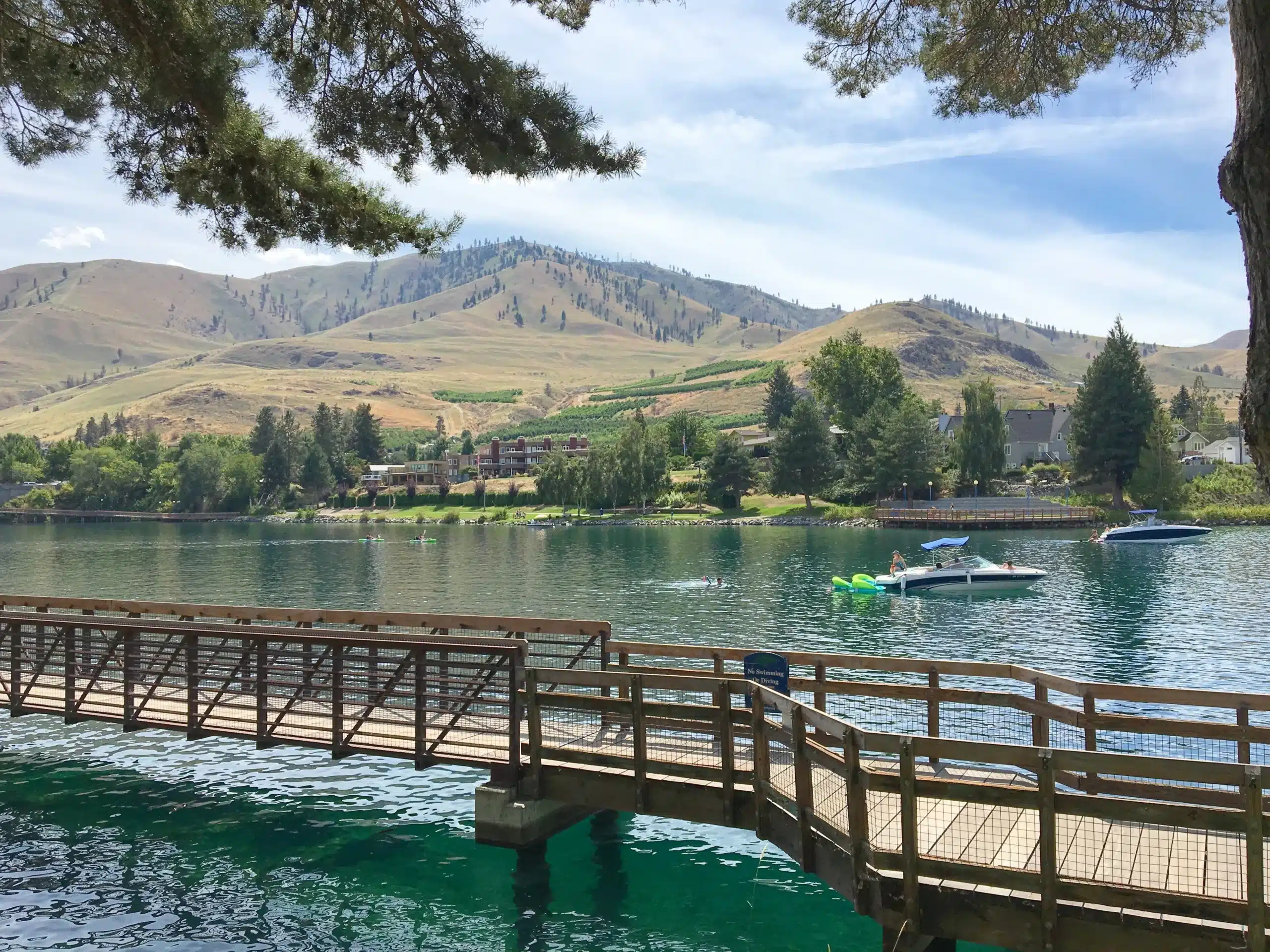
1. Lake Chelan
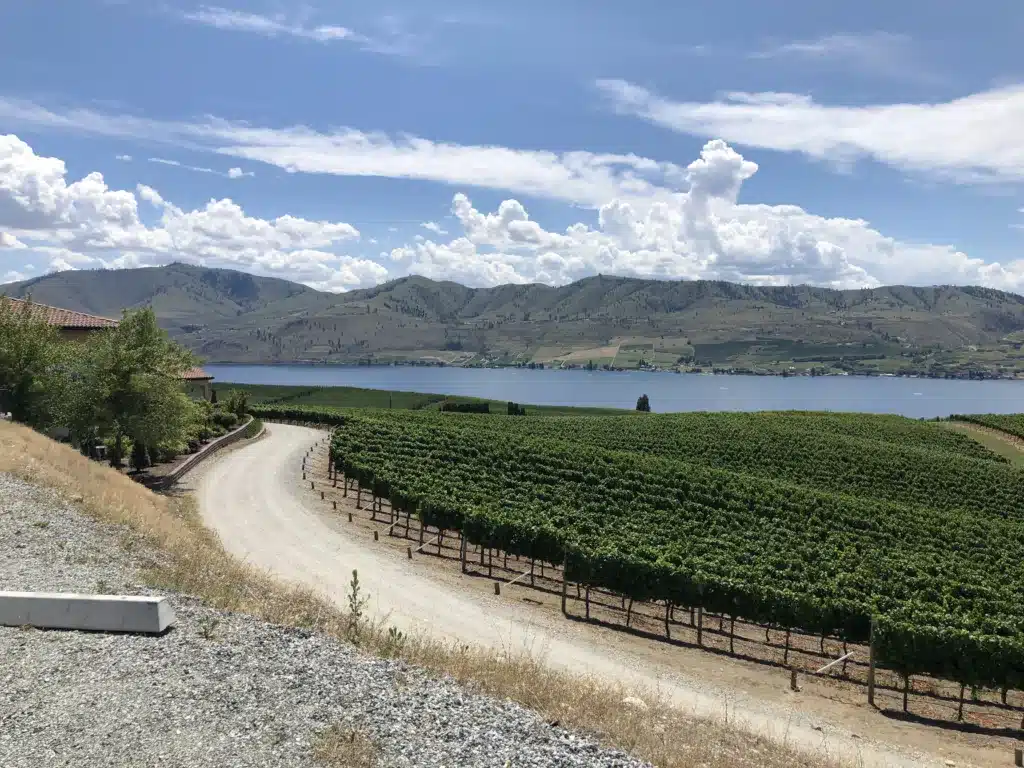
Located in central Washington, Lake Chelan is named after the county it is located in. It is a narrow lake, with an average width of 1.3 miles. However, despite its narrowness, Lake Chelan is an extremely long lake, running 50.5 miles long. Lake Chelan is a popular location for boating, swimming, kayaking, and fishing.
Lake Chelan runs through 3 cities, including Chelan, Manson, and Stehekin. It also connects to Stehekin River and Railroad Creek. Lake Chelan is home to many species of fish, including rainbow trout, sockeye salmon, and smallmouth bass. The lake is also famous for its rich soil, resulting in an abundance of apple, peach, and cherry trees.
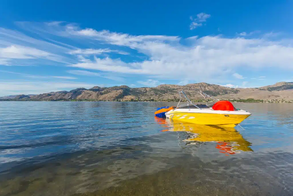
2. Lake Crescent

Lake Crescent (Image Credit: iStock / libre de droit)
©iStock.com/ libre de droit
Named after its shape, Lake Crescent is part of the Olympic National Park in Clallam County. It is located near Port Angeles off of U.S. Route 101 and the Piedmont community. The lake’s inflow comes from Barnes Creek and it flows out to Lyre River. The lake can be easily visited from within the Olympic National Park and is open for swimming and fishing.
The lake has a convenient general store and cafe nearby, as well as a beach and boat rental area. Lake Crescent is home to primarily trout, including Lake Crescent cutthroat trout, but there are also sockeye salmon living in its waters. Lake Crescent is only 11.81 miles long but it is one of the deepest lakes in the United States, formed by melting ice-age glaciers.
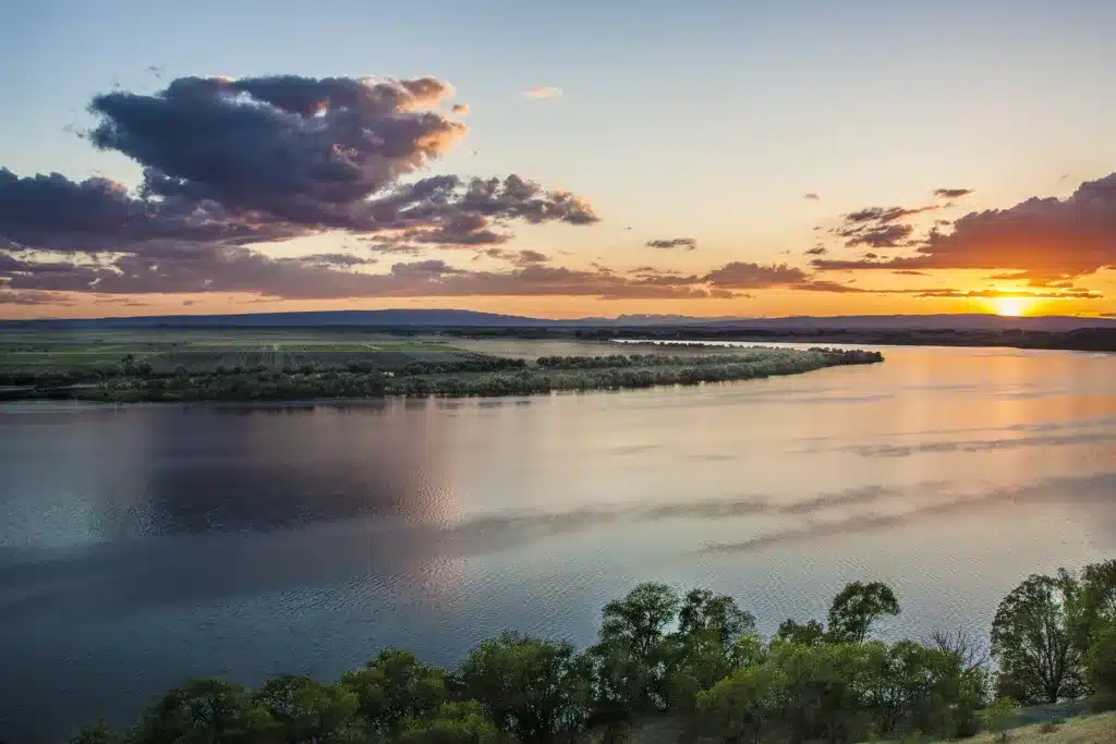
3. Franklin D. Roosevelt Lake
Created in 1941, this reservoir is named after President Franklin D. Roosevelt due to the fact that he was in office when the reservoir was formed. The Grand Coulee Dam impounds the Columbia River, thus creating the lake. The lake is also connected to the Spokane River and the Sanpoil River.
Franklin D. Roosevelt Lake has quite a bit of boat traffic but it is still safe to swim in. There is also a National Recreation Area for the lake where visitors can go camping, fishing, swimming, and more. It is also located near the historic Fort Spokane. With over 500 miles of shoreline to explore, this lake is one of the most popular to visit along the Columbia River.
4. Moses Lake
Originally a small lake, Moses Lake was eventually used as part of the Columbia Basin Project, resulting in it being dammed. Currently, Moses Lake is located between Crab Creek, which is where it gets its inflow from, and the Potholes Reservoir, which is where it outflows to. Moses Lake is known for its unusual shape, which consists of several areas that spike outwards and are called horns. The lake also has several islands, including Goat Island, Marsh Island, and Crest Island.
Although today the lake is more associated with the nearby city of the same name, originally the lake was named after Native American Chief Moses. The city known as Moses Lake was actually founded after the lake was named, hence why it adopted the same moniker in 1938. Today, the lake is known as a road trip stop between Seattle and Spokane.
5. Potholes Reservoir

Formed by the O’Sullivan Dam, the Potholes Reservoir is also part of the Columbia Basin Project. It is connected to Moses Lake but is considered its own separate body of water. It is actually made up of multiple lakes and gets its name from the fact that these lakes were formed due to floodwaters from Glacial Lake Missoula. The creation of the dam is what filled the lakes to the point they are at today.
The reservoir has its own state park called Potholes State Park. The park is located on the shores of the reservoir and is a great spot for fishing. The Potholes Reservoir is abundant with fish, including largemouth and smallmouth bass, rainbow trout, carp, walleye, and more.
6. Lake Washington
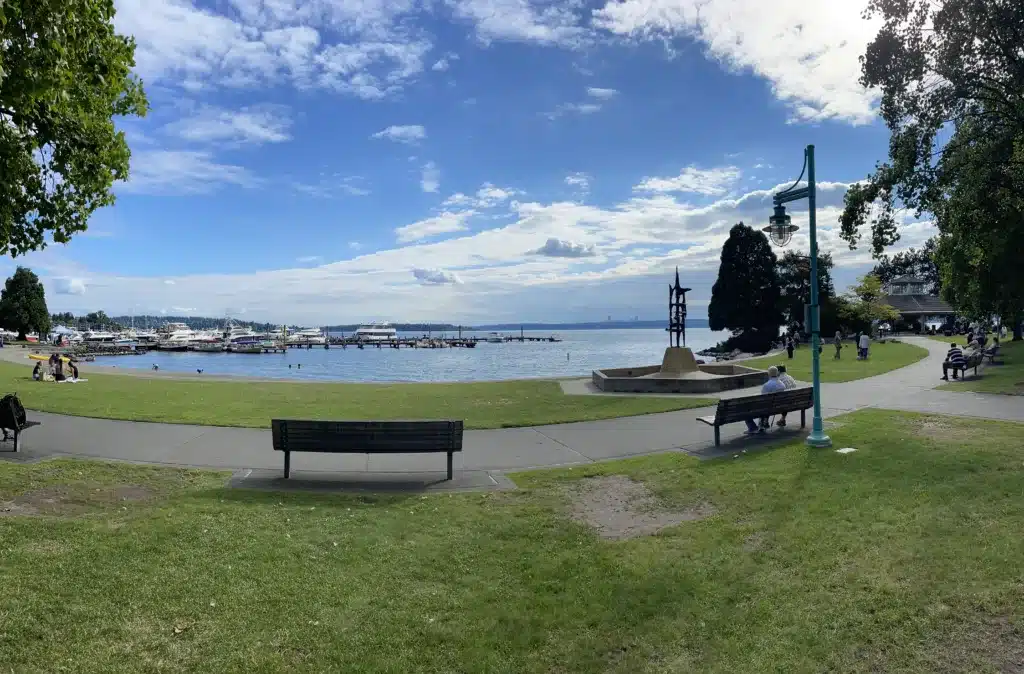
Known as the largest lake in King County and the second largest natural lake in Washington state, Lake Washington is located just next to Seattle. The lake also borders the cities of Bellevue, Kirkland, Renton, Kenmore, and Mercer Island. It connects into the Sammamish River and the Cedar River.
The lake is named after George Washington, much like Washington state is. However, before it was given this moniker in 1854, it was known as Xacuabš by the Duwamish. Today, the lake is known for fishing, boating, and swimming. It is also the home of 2 passenger seaplane bases.
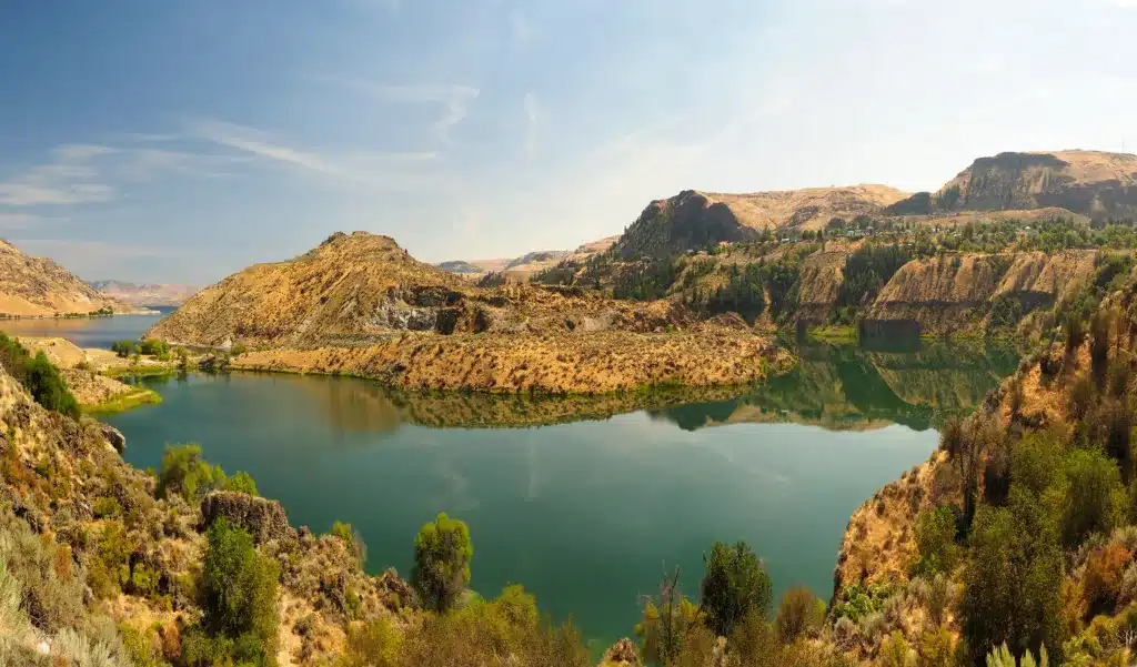
7. Banks Lake
Named after the construction supervisor of the Grand Coulee Dam, Frank A. Banks, Banks Lake is a reservoir that sits towards the south of the city Grand Coulee and Electric City. The lake is part of the Columbia Basin Project and connects directly to the Grand Coulee Dam, which eventually flows into the Franklin D. Roosevelt Lake and the Columbia River.
Banks Lake is primarily used for water irrigation and is thus not very popular for fishing, swimming, or other recreational purposes. However, the lake is important for agriculture, especially since the eastern part of Washington state can be rather dry. Banks Lake itself is still quite sizable, with a surface area of 42 square miles.
8. Ross Lake
(Image Credit: Anna Abramskaya/Shutterstock)
©Anna Abramskaya/Shutterstock.com
Located in the North Cascade Mountains, Ross Lake runs through northern Washington and into the southwestern part of British Columbia, Canada. The lake is long and narrow with a length of 23 miles and a maximum width of 1.5 miles. Ross Lake is primarily home to trout, including Rainbow Trout, Bull Trout, Cutthroat Trout, and Bull Trout.
The southern part of Ross Lake has a recreational area specifically for the lake. The North Cascades National Park is also located closeby. The lake even has its own resort, known as Ross Lake Resort, which is open from June to October and has been operating since 1952. Ross Lake is only accessible by hiking or boating so visitors must be prepared if they wish to explore the lake.
9. Ozette Lake
Known as the largest unaltered natural lake in Washington state, Ozette Lake is located at the northern coastal strip of the Olympic National Park. Towards the north of the lake is the city of Ozette, as well as the Ozette River. Previously, the lake was known as Kahouk by the Makah. The name translates to “large lake”.
Ozette Lake has 3 islands: Tivoli, Garden Island, and Baby Island. The lake is also home to the only boat-in campground in Olympic National Park. There are multiple trails near the lake that lead to the Pacific Coast Marine Sanctuary, featuring cedar boardwalks that are maintained by the park. Additional campsites are located to the north of Ozette Lake.
10. Osoyoos Lake
Located between Oroville, Washington and Osoyoos, British Columbia, Osoyoos Lake is yet another one of Washington state’s biggest lakes that crosses the border into Canada. The lake’s name translates to “narrowing of the waters” in the Okanagan language. Osoyoos Lake inflows to the Okanagan River, which also shares its waters between Canada and Washington State.
Osoyoos Lake has its own state park. Formerly known as Osoyoos Lake State Park, the park was sold to Oroville and renamed to Osoyoos Lake Veteran’s Memorial Park. The park is known for its sandy beach, boating area, and campground, all of which is located directly on the shores of Osoyoos Lake.
