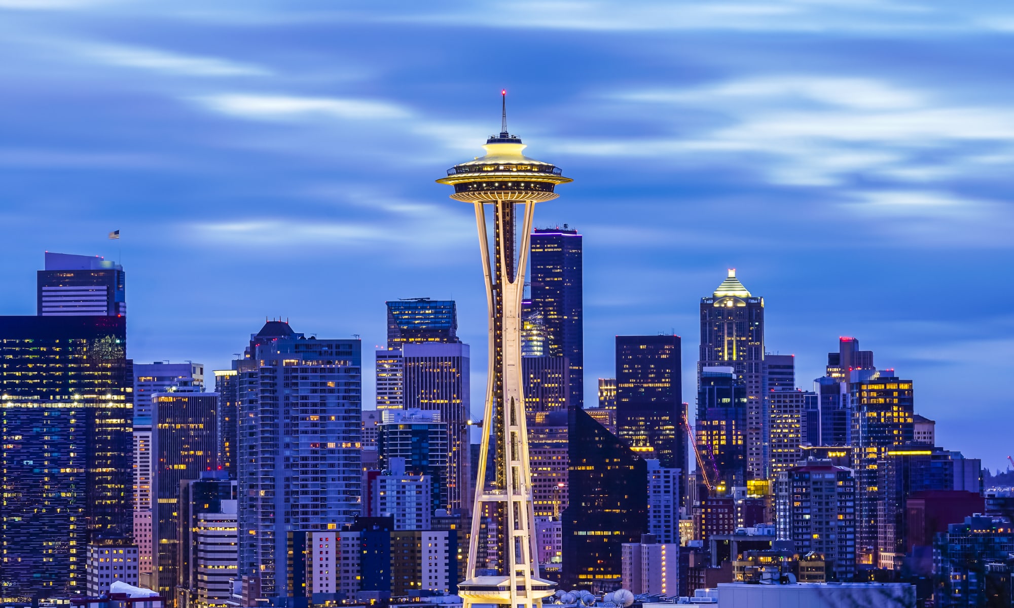
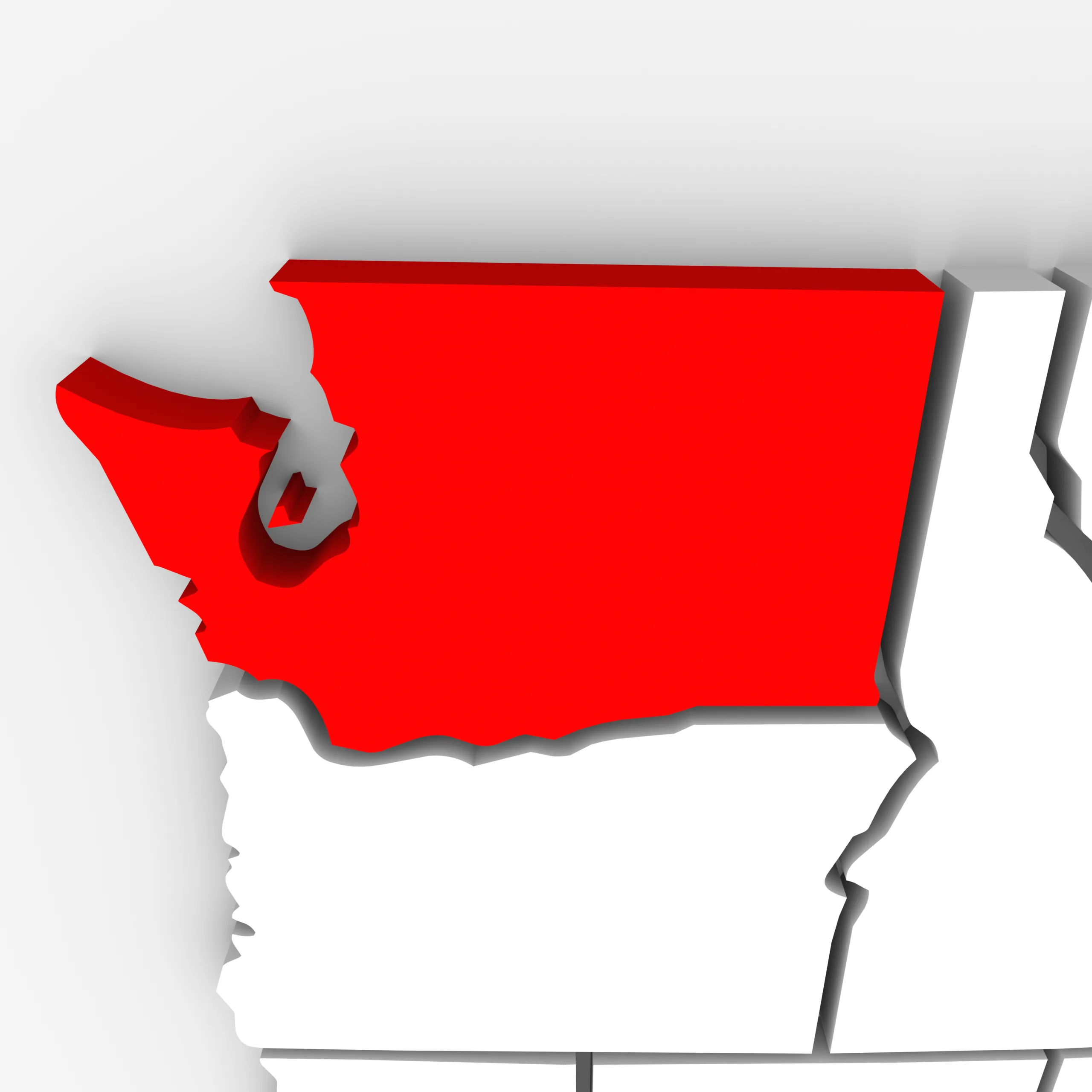
You’ve likely heard the term “Pacific Northwest” to refer to areas in Washington State or Oregon. The area is famous for its natural beauty with numerous mountain ranges, massive evergreen forests, and beautiful islands dotting glacially-cut bodies of water.
Yet, while it’s generally accepted that major cities like Seattle and Portland are in the Pacific Northwest, where the region’s boundaries are is less clear. Let’s dive into what the Pacific Northwest is and what states are inside it.
What States are in the Pacific Northwest?

The states of Washington, Oregon, and Idaho are in the Pacific Northwest. In addition, the Canadian territory of British Columbia and even parts of California, Montana, the Yukon Territory, and Alaska are referred to as being in the Pacific Northwest.
To be clear, there is no formal definition of the Pacific Northwest. It’s generally agreed that it includes the northerly American states touching the Pacific Ocean (Washington and Oregon). However, whether British provinces and parts of nearby states are included is a subject of more debate.
This isn’t uncommon for large geographic areas in the United States. For example, today the “Midwest” is one of the four regions of the U.S. defined by the Census Bureau and includes 12 states. However, when Americans were polled on which states are in the Midwest, only one state had 4 in 5 American agree it was Midwestern (Illinois). States that the Census Bureau considers in the Midwest like North Dakota, South Dakota, and Nebraska were identified as Midwestern by less than half of respondents.
So, if we’re defining the Pacific Northwest as the states that are in the northwest corner of the Continental United States, the states that best fit are Washington, Oregon, and Idaho.
What States are In Cascadia?

However, there’s a strong claim to be made that the term “Pacific Northwest” is less about being in the corner of the United States and more about the environment of the area.
There’s a unique ecosystem stretching across the coastline from northern California to Alaska. This area features large swaths of evergreen forests that are uniquely adapted to the mountainous terrain. In addition, the climate of this area is similar in that its temperate with winters that have relatively mild temperatures but are dark and cloudy.
Today, this bioregion is called Cascadia, and it stretches from Southern Alaska, into the corner of the Yukon Territory, across much of British Columbia, Washington State, Oregon, and Idaho. In addition, northern California and western Montana have significant amounts of land in this bioregion. In total, Cascadia stretches for roughly 2,400 miles.
It should be noted that if you visited a soccer match in Seattle, Vancouver, or Portland you’ll likely see a flag that’s blue, white, and green and features a Douglas fir tree. This is the flag of Cascadia. In Major League Soccer, these three cities compete for the Cascadia Cup. The flag is also part of an independence movement that aims to see British Columbia, Washington State, and Oregon secede as their own independent country.
How Many People Live in the Pacific Northwest?

The Pacific Northwest is generally lightly populated compared to the rest of America. Most people in the Pacific Northwest live near the coast in the metropolitan areas around Seattle, Portland, and Vancouver.
| Largest Metro Areas in the Pacific Northwest | Population |
|---|---|
| Seattle | 4,034,248 |
| Vancouver | 2,642,825 |
| Portland | 2,509,489 |
| Boise | 811,336 |
| Spokane | 597,919 |
| Salem | 436,317 |
| Victoria | 397,237 |
| Eugene | 382,353 |
| Tri-Cities Washington | 311,469 |
Combining the metro populations of Seattle, Portland, and Vancouver yields a population of over 9 million. Beyond these cities, the overall population of Washington State, Oregon, Idaho, and British Columbia is about 19 million people.
For perspective, that’s less than half the population of California and less than 1/4th the population of the Midwest Census Region.
The image featured at the top of this post is ©iQoncept/Shutterstock.com.


